
Romano-British farmstead, 900m north east of Thornborough High Barns
Romano-British farmstead, 900m north east of Thornborough High Barns, archaeological site in Corbridge, Northumberland, England, UK
Emplacement : Corbridge
Coordonnées GPS : 54.99000,-1.96641
Dernière mise à jour : 4 mars 2025 à 13:11
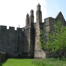
Château d'Aydon
2.1 km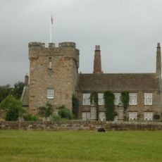
Halton Castle
3 km
Hunnum
3.4 km
Milecastle 18
3.4 km
Milecastle 19
2.6 km
Milecastle 20
2.6 km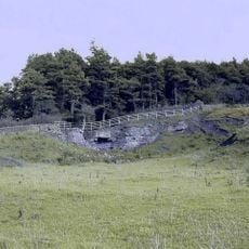
Milecastle 21
3 km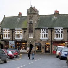
Town Hall With Shops
3.7 km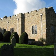
Halton Church
3 km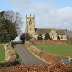
Church of St James
1.8 km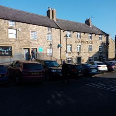
The Golden Lion Public House
3.7 km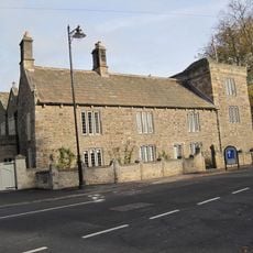
Low Hall
3.6 km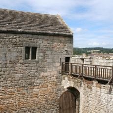
Outer Bailey Walls And Attached Farmbuildings
2.1 km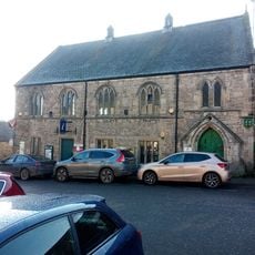
Corbridge Library
3.7 km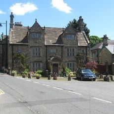
Monksholme
3.6 km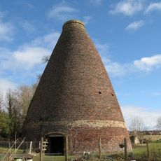
Walkers Pottery West Bottle Kiln
3.2 km
East Portal Of Farnley Scar Tunnel
3.7 km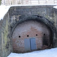
West Portal Of Farnley Scar Tunnel
3.7 km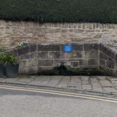
Hydrants And Trough At Junction With Orchard Crescent
3.5 km
Milepost 90 Metres East Of Styford Lodge
2.6 km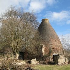
Walkers Pottery: East Bottle Kiln
3.1 km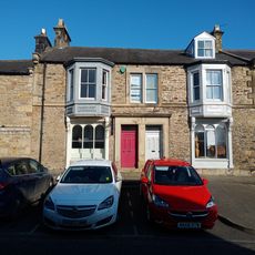
14,16, Hill Street
3.7 km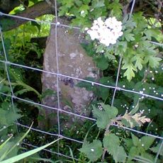
Milestone, 60m W of jct to Aydon
1.7 km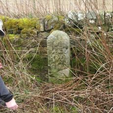
Milestone, E of Halton Shields
2.5 km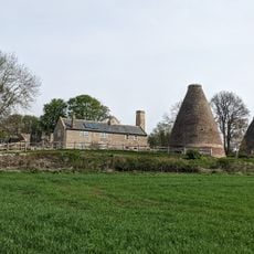
Kilns, Corbridge pottery
3.1 km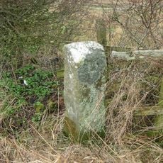
Milestone, Kip Hill, Shildon
1.8 km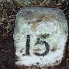
Milestone, Halton Red House, east of Down Hill
2.8 km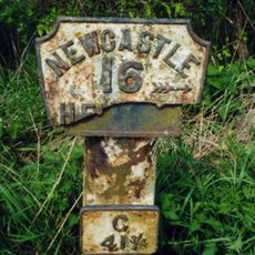
Milepost, Howden Dene, near Cricket Plantation
2.7 kmAvis
Vous avez visité ce lieu ? Touchez les étoiles pour le noter et partager votre expérience ou vos photos avec la communauté ! Essayez maintenant ! Vous pouvez annuler à tout moment.
Trouvez des trésors cachés à chaque coin de rue !
Des petits cafés pittoresques aux points de vue planqués, fuyez la foule et dénichez les lieux qui vous ressemblent vraiment. Notre app vous facilite la vie : recherche vocale, filtres malins, itinéraires optimisés et bons plans partagés par des voyageurs du monde entier. Téléchargez vite pour vivre l'aventure en version mobile !

Une approche inédite de la découverte touristique❞
— Le Figaro
Tous les lieux qui valent la peine d'être explorés❞
— France Info
Une excursion sur mesure en quelques clics❞
— 20 Minutes