
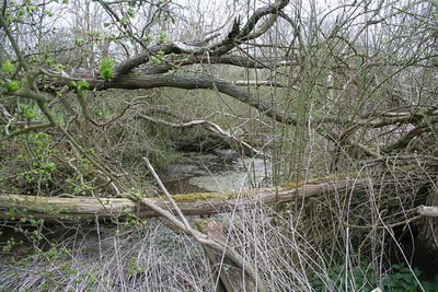
Ring Dam medieval fishpond, archaeological site in Ropsley and Humby, South Kesteven, England, UK
Emplacement : Ropsley and Humby
Coordonnées GPS : 52.89200,-0.51964
Dernière mise à jour : 3 mars 2025 à 20:07
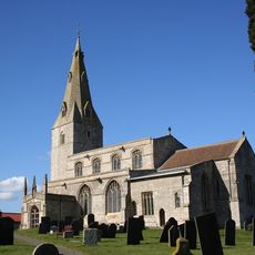
St Peter's Church, Ropsley
624 m
St Barbara's Church
4.1 km
St Bartholomew's Church
4.9 km
Church of St Nicholas
2.2 km
Church of St Andrew
4.7 km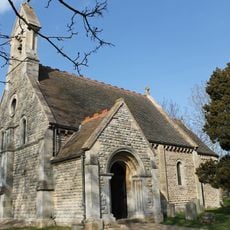
Parish Church of St Lucia
6 km
Church of St Bartholomew
3.9 km
Church of St Michael
6 km
Church of St Mary Magdalene
5.5 km
Church of St. Andrew
3.9 km
Church of St Margaret
2.5 km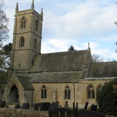
Parish Church of St Botolph
5.7 km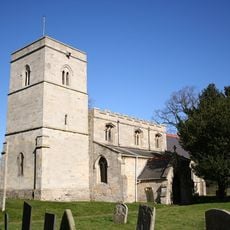
Church of St Mary Magdalene
3.2 km
Church of St Peter
4.5 km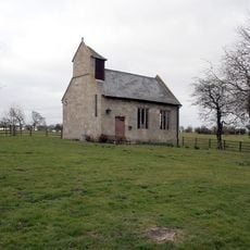
Great Humby Chapel
1.7 km
Houblon Arms Public House
5.4 km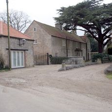
Oasby House
5.3 km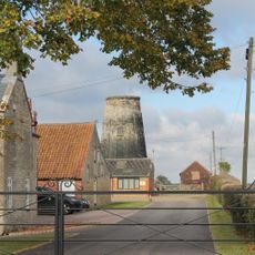
Oasby Mill
5 km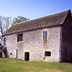
Boothby Manor House
4.1 km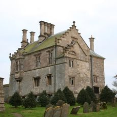
The Manor House
5.1 km
Heydour House
5.9 km
Garage And Stable At The Hall
2.2 km
The Old Rectory
3.3 km
Barn At Manor House
3.2 km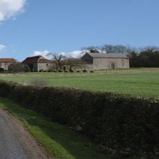
Manor Farmhouse and Manor Farm Cottage and Attached Farm Buildings
6 km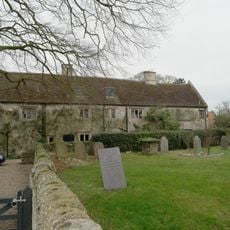
The Hall
2.2 km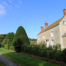
Scotland House
3.7 km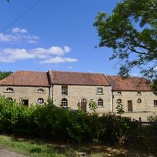
Stable Block At Cold Harbour Farm
4.7 kmVous avez visité ce lieu ? Touchez les étoiles pour le noter et partager votre expérience ou vos photos avec la communauté ! Essayez maintenant ! Vous pouvez annuler à tout moment.
Trouvez des trésors cachés à chaque coin de rue !
Des petits cafés pittoresques aux points de vue planqués, fuyez la foule et dénichez les lieux qui vous ressemblent vraiment. Notre app vous facilite la vie : recherche vocale, filtres malins, itinéraires optimisés et bons plans partagés par des voyageurs du monde entier. Téléchargez vite pour vivre l'aventure en version mobile !

Une approche inédite de la découverte touristique❞
— Le Figaro
Tous les lieux qui valent la peine d'être explorés❞
— France Info
Une excursion sur mesure en quelques clics❞
— 20 Minutes