
Brownings moated site, archaeological site in Kirdford, Chichester, England, UK
Emplacement : Kirdford
Coordonnées GPS : 51.01480,-0.54703
Dernière mise à jour : 16 mars 2025 à 11:36
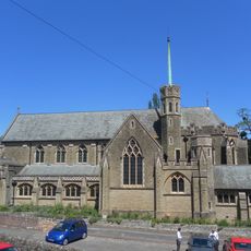
Sacred Heart Church
5.3 km
Bognor Common Quarry
3.7 km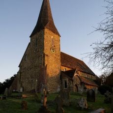
The Parish Church of St Peter Ad Vincula
3.3 km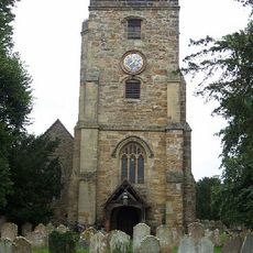
The Parish Church of St John the Baptist
1.6 km
The Zoar Chapel
2.9 km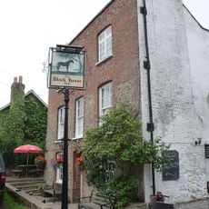
The Black Horse Public House
5.1 km
The Three Crowns Inn
3.2 km
The Cricketers Arms Public House
3.2 km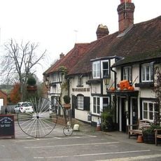
The Stonemasons Inn
5 km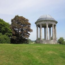
Garden Temple In The Grounds Of Petworth House To The North Of The Preceding Temple
5.1 km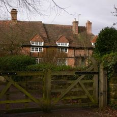
Riverhill House
4 km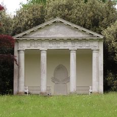
The Garden Temple In The Grounds Of Petworth House To North West Of The Butler's House
5.2 km
Wisborough Green War Memorial
3.1 km
Angel House
5.3 km
Stroods And The Homestead
570 m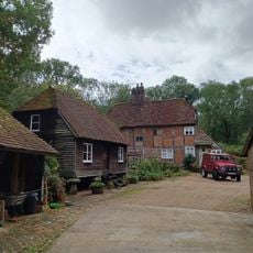
Oldhams
3.2 km
Grays
5.2 km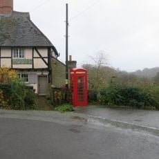
K6 Telephone Kiosk Opposite The Old Post Office
5.1 km
Nos 85 And 86 Leconfield Estate Riverhill Farmhouse
3.9 km
Tanners Farmhouse
4.8 km
The Coach House
5.3 km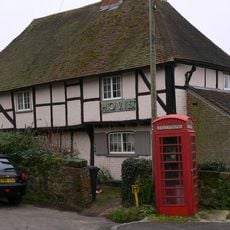
Nos 374 And 375 Leconfield Estate
5.1 km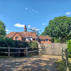
Crouchams
352 m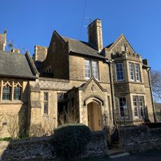
The Presbytery Of The Roman Catholic Church
5.2 km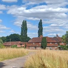
Ingrams Farmhouse
1.2 km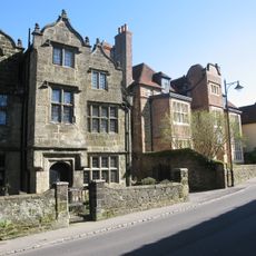
Somerset Hospital
5.2 km
North House
5.3 km
Rectory Gate House
5.2 kmAvis
Vous avez visité ce lieu ? Touchez les étoiles pour le noter et partager votre expérience ou vos photos avec la communauté ! Essayez maintenant ! Vous pouvez annuler à tout moment.
Trouvez des trésors cachés à chaque coin de rue !
Des petits cafés pittoresques aux points de vue planqués, fuyez la foule et dénichez les lieux qui vous ressemblent vraiment. Notre app vous facilite la vie : recherche vocale, filtres malins, itinéraires optimisés et bons plans partagés par des voyageurs du monde entier. Téléchargez vite pour vivre l'aventure en version mobile !

Une approche inédite de la découverte touristique❞
— Le Figaro
Tous les lieux qui valent la peine d'être explorés❞
— France Info
Une excursion sur mesure en quelques clics❞
— 20 Minutes