
Dray's Ditches, archaeological site in Streatley, Central Bedfordshire, England, UK
Emplacement : Streatley
Coordonnées GPS : 51.92730,-0.42138
Dernière mise à jour : 3 mars 2025 à 15:59
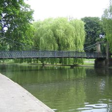
Wardown Park
3.8 km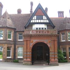
Wardown Park Museum
3.6 km
Putteridge Bury
3.8 km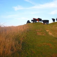
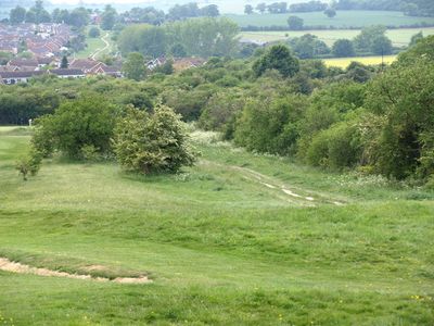
Galley and Warden Hills
445 m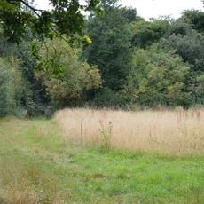
Telegraph Hill, Hertfordshire
3.9 km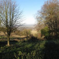
Smithcombe, Sharpenhoe and Sundon Hills
3.8 km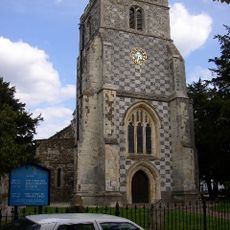
Church of St Nicholas, Barton le Clay
3.8 km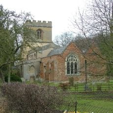
Church of St Faith (Church of England)
4.1 km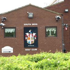
South Beds Golf Club
197 m
Church of St Mary, Sundon
3.8 km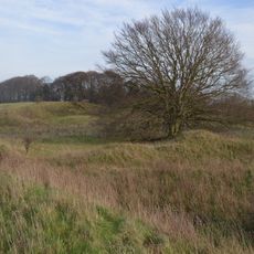
Barton Gravel Pit
3.6 km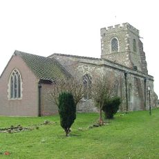
Church of St Margaret, Streatley, Bedfordshire
2.6 km
Wardown House, Museum and Gallery
3.6 km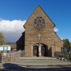
Church of St Christopher
4.1 km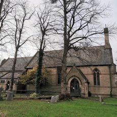
Holy Trinity Church
2.9 km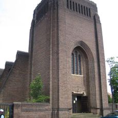
St Andrew's Church
3.9 km
Church of St Peter
3.2 km
Entrance Gate And Outbuildings To Wardown Park House
3.6 km
Christ Church
2.2 km
St Augustine of Canterbury
2.1 km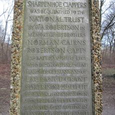
The Robertson War Memorial Bequest Obelisk, Sharpenhoe
4.1 km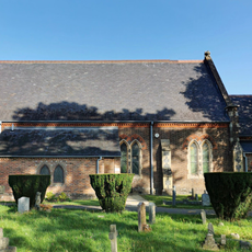
Parish Church of St Thomas
3.3 km
Moat House
2.7 km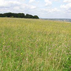
Sharpenhoe Clappers
4.1 km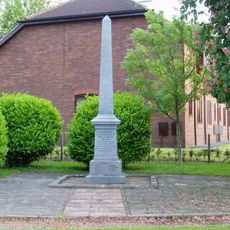
Barton Le Clay War Memorial
4.1 km
Montgrove Farmhouse
2.2 km
Source of the River Lea
3.3 km
Waulud's Bank
3.2 kmVous avez visité ce lieu ? Touchez les étoiles pour le noter et partager votre expérience ou vos photos avec la communauté ! Essayez maintenant ! Vous pouvez annuler à tout moment.
Trouvez des trésors cachés à chaque coin de rue !
Des petits cafés pittoresques aux points de vue planqués, fuyez la foule et dénichez les lieux qui vous ressemblent vraiment. Notre app vous facilite la vie : recherche vocale, filtres malins, itinéraires optimisés et bons plans partagés par des voyageurs du monde entier. Téléchargez vite pour vivre l'aventure en version mobile !

Une approche inédite de la découverte touristique❞
— Le Figaro
Tous les lieux qui valent la peine d'être explorés❞
— France Info
Une excursion sur mesure en quelques clics❞
— 20 Minutes