
Castle Toll Saxon burgh and medieval fort, archaeological site in Newenden, Ashford, England, UK
Emplacement : Newenden
Coordonnées GPS : 51.02470,0.63955
Dernière mise à jour : 14 mars 2025 à 16:46

Great Maytham Hall
2.3 km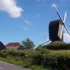
Rolvenden Windmill
3.5 km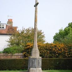
Rolvenden War Memorial
3 km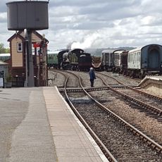
Kent & East Sussex Railway - (Northiam,Station)
2.4 km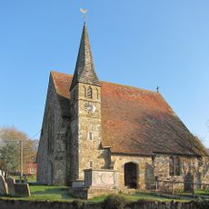
Parish Church of St Peter
2.1 km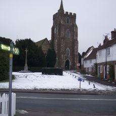
Parish Church of St Mary
3 km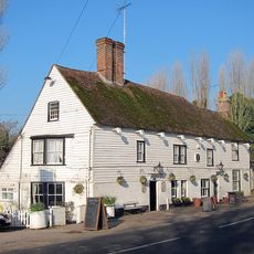
The White Hart Inn
2.1 km
Silverden Manor
4.1 km
The Star Public House
3.1 km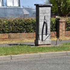
Village Pump Opposite No 29
3.2 km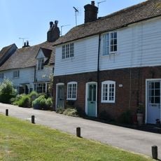
8-22, Hastings Road
3 km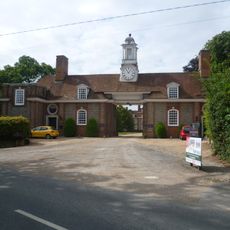
Gatehouse To Great Maytham
2.4 km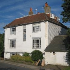
2, 4 And 6, Hastings Road
3 km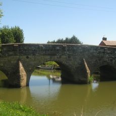
Newenden Bridge
2.1 km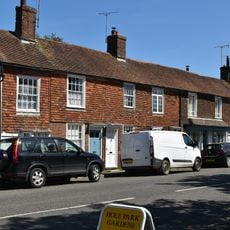
45-55, High Street
3.2 km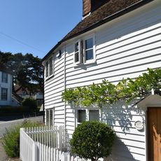
2 And 4, High Street
3 km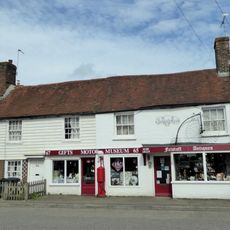
63-73, High Street
3.3 km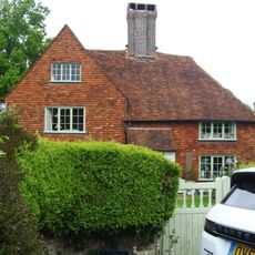
Clench Green
4.2 km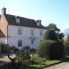
The Hall
3.8 km
Kingpost
3.3 km
59 And 61, High Street
3.3 km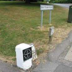
Milestone, Maytham Road, N of church
3 km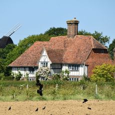
Saxbys
3.4 km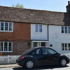
2 And 4, Regent Street
3.3 km
Milestone, Rye Road, W of entrance to Lamberden Farm
2.8 km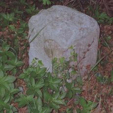
Milestone, Hastings Road, N of jct with Wassall Lane
2.4 km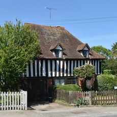
The Forge
3.3 km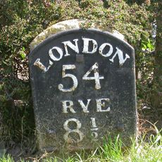
Milestone, Station Road; opp. jcn Monks Way
3.6 kmAvis
Vous avez visité ce lieu ? Touchez les étoiles pour le noter et partager votre expérience ou vos photos avec la communauté ! Essayez maintenant ! Vous pouvez annuler à tout moment.
Trouvez des trésors cachés à chaque coin de rue !
Des petits cafés pittoresques aux points de vue planqués, fuyez la foule et dénichez les lieux qui vous ressemblent vraiment. Notre app vous facilite la vie : recherche vocale, filtres malins, itinéraires optimisés et bons plans partagés par des voyageurs du monde entier. Téléchargez vite pour vivre l'aventure en version mobile !

Une approche inédite de la découverte touristique❞
— Le Figaro
Tous les lieux qui valent la peine d'être explorés❞
— France Info
Une excursion sur mesure en quelques clics❞
— 20 Minutes