
Causewayed camp on Hambledon Hill, archaeological site in Iwerne Courtney or Shroton, Dorset, England, UK
Emplacement : Iwerne Courtney or Shroton
Coordonnées GPS : 50.90940,-2.21602
Dernière mise à jour : 3 mars 2025 à 04:41
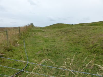
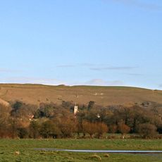
Hambledon Hill
419 m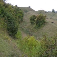
Hod Hill
1.6 km
Stepleton House
1.7 km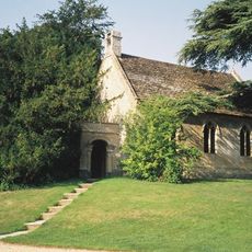
Church of St Michael and All Angels
1.1 km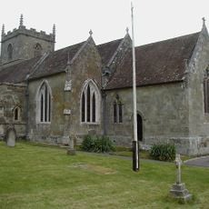
Church of St Mary
1.1 km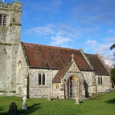
Church of St Nicholas
1.4 km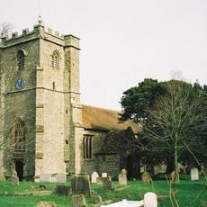
Church of the Holy Rood
2.6 km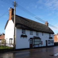
The Post Office
1.1 km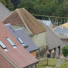
Dovecote and attached open shelter building 60m south-west Of Church Farmhouse
1.1 km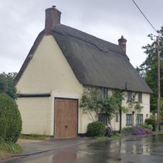
Hobnail Cottage
1.2 km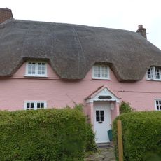
Larks Rise
1.2 km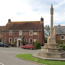
Child Okeford And Hanford War Memorial
1.5 km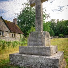
Shroton and Stepleton War Memorial
1.1 km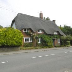
Greensleeves
2.6 km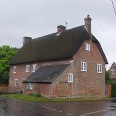
23 and 25 The Cross
1.2 km
Thatched Cottage
1.1 km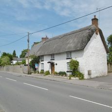
Japonica Cottage
2.5 km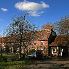
Oyles Mill and Mill House
2 km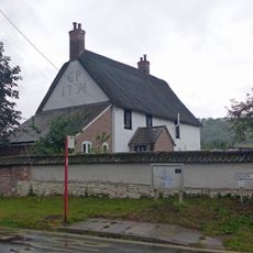
Hellum Farmhouse
1.2 km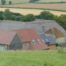
Barn 20m south of Church Farmhouse
1.1 km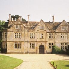
Hanford House
1.2 km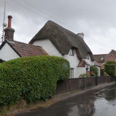
Littleport
1.2 km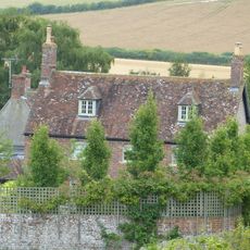
Church Farmhouse
1.1 km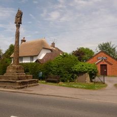
Village Cross
2.6 km
Hod Hill camp and Lydsbury Rings
1.7 km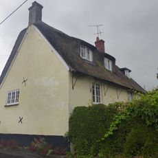
Little Grange
1.2 km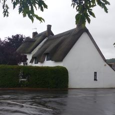
Fourways
1.2 km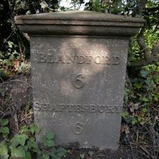
Milepost, S of village, 50m S of 30mph signs
2.2 kmVous avez visité ce lieu ? Touchez les étoiles pour le noter et partager votre expérience ou vos photos avec la communauté ! Essayez maintenant ! Vous pouvez annuler à tout moment.
Trouvez des trésors cachés à chaque coin de rue !
Des petits cafés pittoresques aux points de vue planqués, fuyez la foule et dénichez les lieux qui vous ressemblent vraiment. Notre app vous facilite la vie : recherche vocale, filtres malins, itinéraires optimisés et bons plans partagés par des voyageurs du monde entier. Téléchargez vite pour vivre l'aventure en version mobile !

Une approche inédite de la découverte touristique❞
— Le Figaro
Tous les lieux qui valent la peine d'être explorés❞
— France Info
Une excursion sur mesure en quelques clics❞
— 20 Minutes