
Smotherlaw round barrow, round barrow in High Coniscliffe, Darlington, England, UK
Emplacement : High Coniscliffe
Coordonnées GPS : 54.53900,-1.66334
Dernière mise à jour : 8 mars 2025 à 03:27
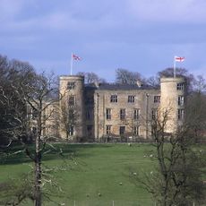
Château de Walworth
2.3 km
Fort roman de Piercebridge
856 m
Piercebridge Roman Bridge
597 m
Ulnaby
1.9 km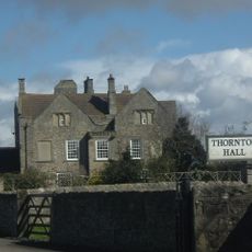
Thornton Hall
2.2 km
Piercebridge Roman Fort
872 m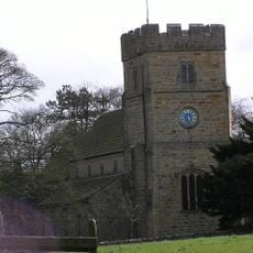
Church of All Saints
2.7 km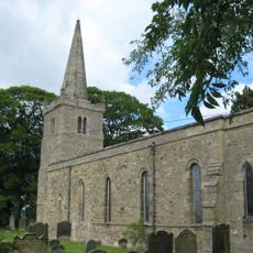
Church of St Edwin
1.1 km
Church of St Mary
881 m
Dovecote And Single Storey Range To South Of Parkside Farmhouse
2.8 km
Haybarn And Attached Shed South Of Parkside Farmhouse
2.7 km
George Hotel
857 m
Carlbury Bridge
705 m
Ivy House
878 m
Milepost South Of Carlbury Hall
370 m
Ice House To East Of Quarry End
3.2 km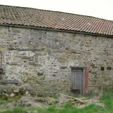
Barn To North Of North Farm Farmhouse
3.3 km
Piercebridge Bridge
925 m
The Bridge House
916 m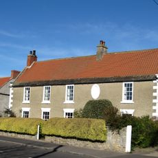
The Old Hall
926 m
Medieval Chapel Ruins On Roman Foundations In Rear Garden Of Bath House, Tees View
930 m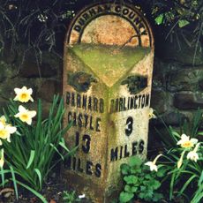
Milepost In Front Of Number 12 (Cedar Ridge)
3 km
Wall, Gate Piers, Overthrow And Lantern To West Of Church Of St Mary
892 m
Round barrow 340m east of Cliffe Hall known as Betty Watson's Hill
1.1 km
2, The Green
893 m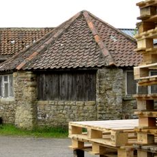
Threshing Barn And Gin Gang East Of Walworth Grange Farmhouse
3.2 km
28, The Green
864 m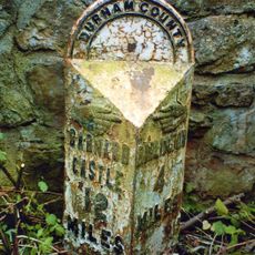
Milepost At High Coniscliffe Bridge
1.4 kmAvis
Vous avez visité ce lieu ? Touchez les étoiles pour le noter et partager votre expérience ou vos photos avec la communauté ! Essayez maintenant ! Vous pouvez annuler à tout moment.
Trouvez des trésors cachés à chaque coin de rue !
Des petits cafés pittoresques aux points de vue planqués, fuyez la foule et dénichez les lieux qui vous ressemblent vraiment. Notre app vous facilite la vie : recherche vocale, filtres malins, itinéraires optimisés et bons plans partagés par des voyageurs du monde entier. Téléchargez vite pour vivre l'aventure en version mobile !

Une approche inédite de la découverte touristique❞
— Le Figaro
Tous les lieux qui valent la peine d'être explorés❞
— France Info
Une excursion sur mesure en quelques clics❞
— 20 Minutes