
Far Blacklands Romano-British Iron Bloomery, 580m NNW of Great Cansiron Farm
Far Blacklands Romano-British Iron Bloomery, 580m NNW of Great Cansiron Farm, archaeological site in Forest Row, Wealden, England, UK
Emplacement : Forest Row
Coordonnées GPS : 51.12540,0.06779
Dernière mise à jour : 8 mars 2025 à 09:40
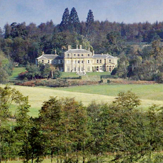
Hammerwood Park
828 m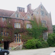
Bolebroke Castle
2.8 km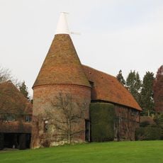
Bassetts Manor
2 km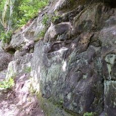
Mills Rocks
3.7 km
The Parish Church of St Mary
4.1 km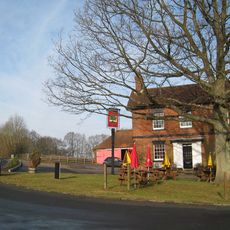
The Sussex Oak Inn
4.1 km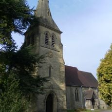
Holy Trinity Church
4.4 km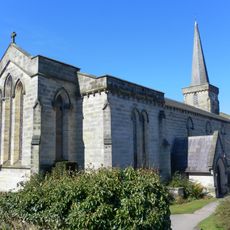
The Parish Church of the Holy Trinity
3.9 km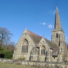
Church of St Stephen
1.5 km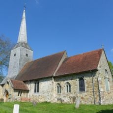
Church of St Mary Magdalene
2.9 km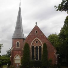
St Dunstan
3.3 km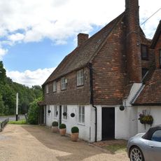
The White Horse Inn
1.5 km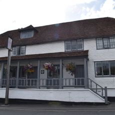
The Hay Wagon Inn
4 km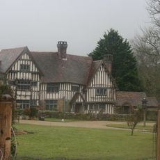
Waystrode Manor
2.6 km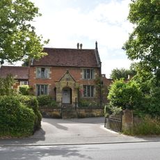
Stairs Farmhouse
4 km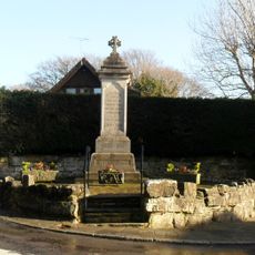
Ashurst Wood War Memorial
3.3 km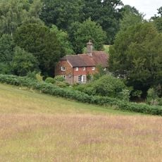
Grove Farm
2.3 km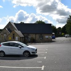
Forest Row School
3.9 km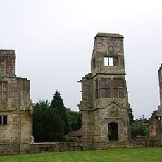
The Ruins Of Brambletye House
4.2 km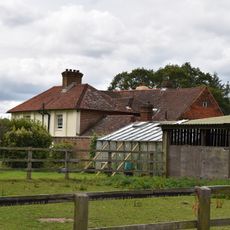
Old Lodge Farm House
4.3 km
Section of Roman road 270yds (250m) in length SE of Holtye Common
1.6 km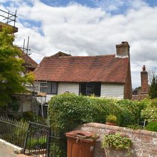
Court House
3.9 km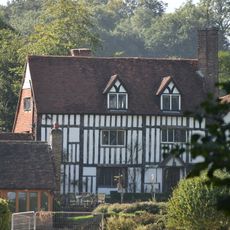
Sussex House Farmhouse
2.9 km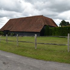
Barn At Greybury Farm To North West Of Farmhouse
4.5 km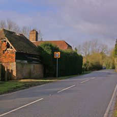
Pumphouse Farmhouse
3.2 km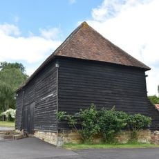
Barn To South East Of Lower Brockshill Farmhouse
1.2 km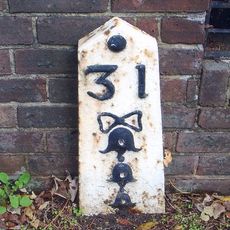
Milestone, S side, before boundary, past Woodbury
4.2 km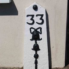
Milestone, London Road, near furniture shop
3.8 kmAvis
Vous avez visité ce lieu ? Touchez les étoiles pour le noter et partager votre expérience ou vos photos avec la communauté ! Essayez maintenant ! Vous pouvez annuler à tout moment.
Trouvez des trésors cachés à chaque coin de rue !
Des petits cafés pittoresques aux points de vue planqués, fuyez la foule et dénichez les lieux qui vous ressemblent vraiment. Notre app vous facilite la vie : recherche vocale, filtres malins, itinéraires optimisés et bons plans partagés par des voyageurs du monde entier. Téléchargez vite pour vivre l'aventure en version mobile !

Une approche inédite de la découverte touristique❞
— Le Figaro
Tous les lieux qui valent la peine d'être explorés❞
— France Info
Une excursion sur mesure en quelques clics❞
— 20 Minutes