
Perrott's Brook dykes, hillfort in Gloucestershire
Emplacement : Bagendon
Coordonnées GPS : 51.75430,-1.97676
Dernière mise à jour : 12 avril 2025 à 16:26
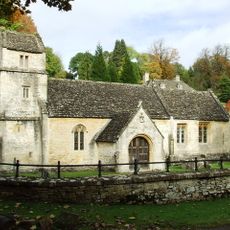
Church of St Margaret
732 m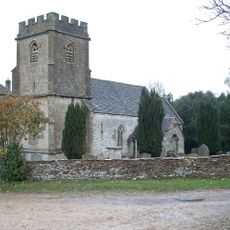
Church of the Holy Rood
2.6 km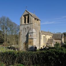
Church of All Saints
1.6 km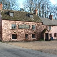
Bathurst Arms
1.8 km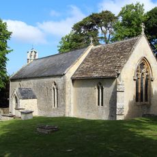
Church of St Peter
2.3 km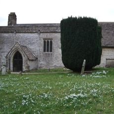
Church of St Mary Magdalene
1.6 km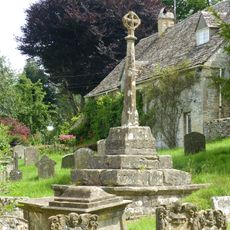
Cross and cross shaft base in the churchyard of the Church of All Saints, circa 9 metres south of the south porch
1.6 km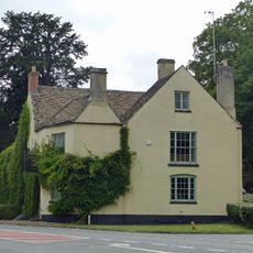
The Bear
259 m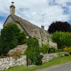
Church Cottage
1.6 km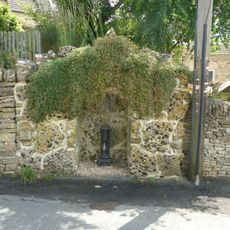
Water pump and water pump recess opposite Elmlea
1.9 km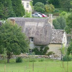
Thatch Cottage
756 m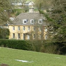
The Old Rectory
1.6 km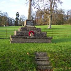
Bagendon War Memorial
879 m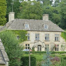
Bagendon Manor or Manor Farm
747 m
Fairview
821 m
Elmlea
1.9 km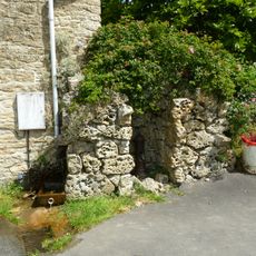
Pump and pump recess circa 10 metres south east of Granny Mabbett's Corner
2 km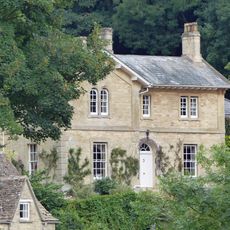
The Old Rectory with service cottage and link wall
829 m
91, Cheltenham Road
2.6 km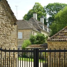
Manor Farm
1.8 km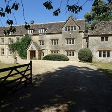
Baunton Mill
1.9 km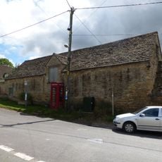
Stableblock circa 50 metres north of Manor Farm
1.8 km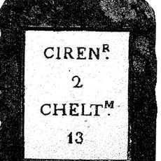
Milestone
913 m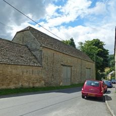
Double barn circa 50 metres north of Manor Farm
1.8 km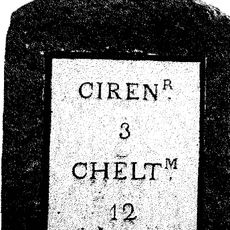
Milestone
871 m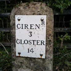
Milestone
1.9 km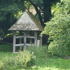
Lychgate on the northern boundary of the churchyard of the Church of All Saints
1.7 km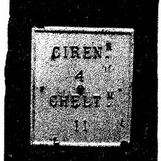
Milestone, N of N Cerney
2.1 kmAvis
Vous avez visité ce lieu ? Touchez les étoiles pour le noter et partager votre expérience ou vos photos avec la communauté ! Essayez maintenant ! Vous pouvez annuler à tout moment.
Trouvez des trésors cachés à chaque coin de rue !
Des petits cafés pittoresques aux points de vue planqués, fuyez la foule et dénichez les lieux qui vous ressemblent vraiment. Notre app vous facilite la vie : recherche vocale, filtres malins, itinéraires optimisés et bons plans partagés par des voyageurs du monde entier. Téléchargez vite pour vivre l'aventure en version mobile !

Une approche inédite de la découverte touristique❞
— Le Figaro
Tous les lieux qui valent la peine d'être explorés❞
— France Info
Une excursion sur mesure en quelques clics❞
— 20 Minutes