
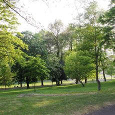
Car Dyke between Washingborough and Common Square, archaeological site in Washingborough, North Kesteven, England, UK
Emplacement : Washingborough
Coordonnées GPS : 53.22260,-0.45498
Dernière mise à jour : 7 mars 2025 à 16:01

Lincoln Arboretum
4.9 km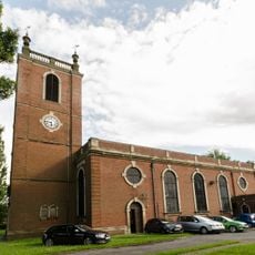
Church of St Giles
4.9 km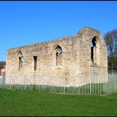
St. Mary Magdalen Priory, Lincoln
4.4 km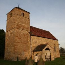
Church of All Saints
2.1 km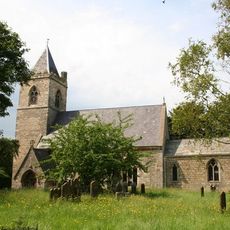
Church of St Peter and St Paul
3.3 km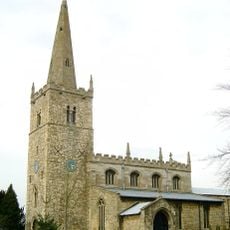
Church of All Saints
3.5 km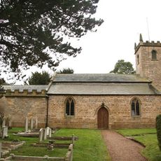
Church of All Saints, Canwick
4.6 km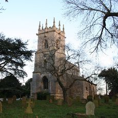
Church of St Clement
2.1 km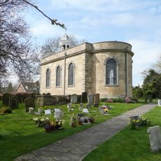
Church of St Peter and St Paul
1.8 km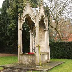
Canwick War Memorial
4.6 km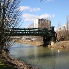
Stamp End Bridge
4.8 km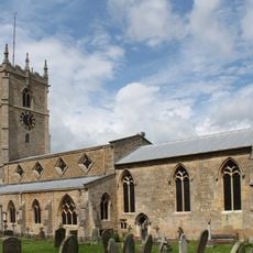
Church of St John the Evangelist
1.4 km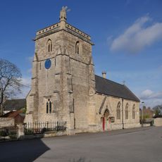
Chapel And Attached School
1.2 km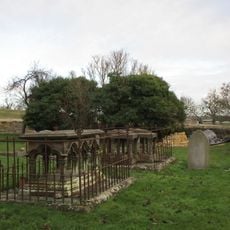
Monument To Thomas Straw, 4 Yards South East Of Apse Of Church Of All Saints
2.1 km
Ferry Boat Inn
1.3 km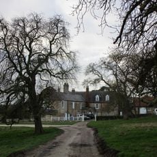
Greetwell Hall
2.1 km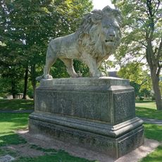
Statue of Lion in Arboretum
4.9 km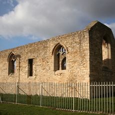
Monk's Abbey
4.4 km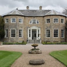
Washingborough Hall
1.4 km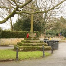
Washingborough village cross
1.3 km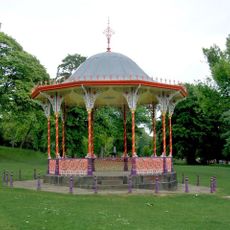
Bandstand In Arboretum
4.9 km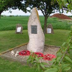
RAF Fiskerton WWII Memorial
2.8 km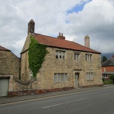
Number 69 With Attached Wall And Barn
1.2 km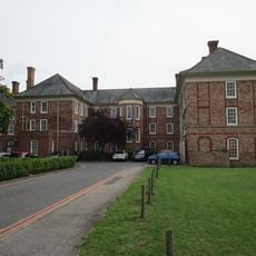
Nurses' Home At Lincolnshire County Hospital
4.7 km
The Manor House
3.8 km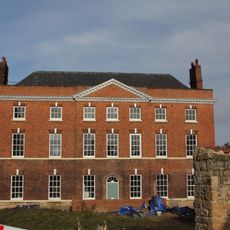
Hainton House
3.5 km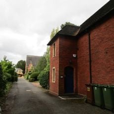
St Annes Bedehouses
4.9 km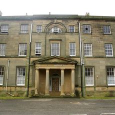
Canwick Hall
4.5 kmAvis
Vous avez visité ce lieu ? Touchez les étoiles pour le noter et partager votre expérience ou vos photos avec la communauté ! Essayez maintenant ! Vous pouvez annuler à tout moment.
Trouvez des trésors cachés à chaque coin de rue !
Des petits cafés pittoresques aux points de vue planqués, fuyez la foule et dénichez les lieux qui vous ressemblent vraiment. Notre app vous facilite la vie : recherche vocale, filtres malins, itinéraires optimisés et bons plans partagés par des voyageurs du monde entier. Téléchargez vite pour vivre l'aventure en version mobile !

Une approche inédite de la découverte touristique❞
— Le Figaro
Tous les lieux qui valent la peine d'être explorés❞
— France Info
Une excursion sur mesure en quelques clics❞
— 20 Minutes