
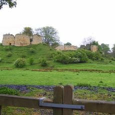
Deserted village at Silvington, archaeological site in Whalton, Northumberland, England, UK
Emplacement : Whalton
Coordonnées GPS : 55.12270,-1.75293
Dernière mise à jour : 17 mars 2025 à 03:55
Mitford Castle
4.6 km
Kirkley Hall
3.8 km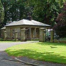
Mitford Hall
4.6 km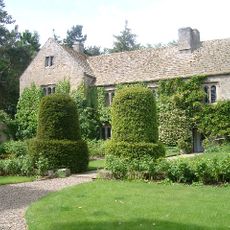
Ogle Castle
2.7 km
Mitford Old Manor House
4.7 km
County Hall
5.5 km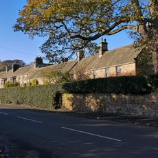
Whalton Manor
2.6 km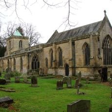
St Mary's, High Church
5.6 km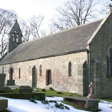
Church of St John the Baptist
4.9 km
Church of St Mary Magdalene
2.8 km
Church of St Mary the Virgin
5.3 km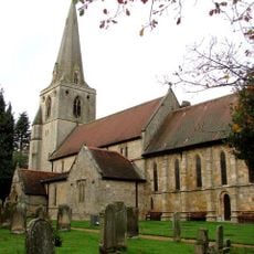
Church of St Mary Magdalene
4.8 km
Foss Bridge Over The River Wansbeck
4.8 km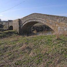
Bellasis Bridge
4.6 km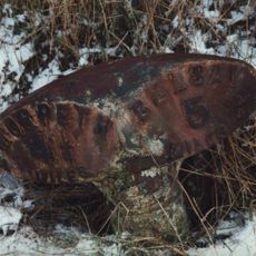
Milepost Opposite West Edington
1.5 km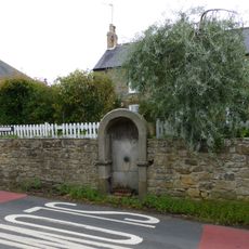
Drinking Fountain 30 Metres East Of Post Office
5.2 km
Milepost 100 Metres East Of Whiteside North
3.2 km
Mitford Castle. Remains Of East Curtain Wall
4.6 km
Mitford Castle. Remains Of West Curtain Wall Buildings
4.6 km
Milepost 30 Metres West Of Camp House
2.2 km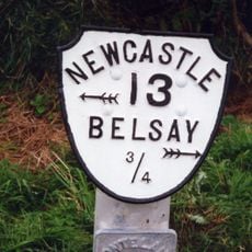
Milepost On North Side Of Shiningpool Bridge
5.2 km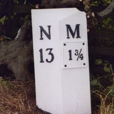
Milepost 500 Metres South Of Catchburn Farm
5 km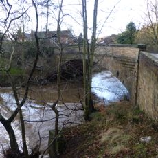
Mitford Bridge, Over The River Font
5.3 km
The Lodge
4.8 km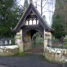
Lych Gate And Attached Churchyard Wall To South Of Church Of St Mary Magdalene
4.7 km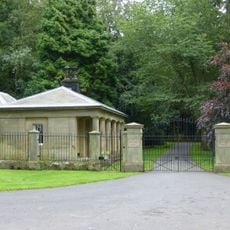
Screen Wall And Piers At Entrance To Mitford Hall
4.8 km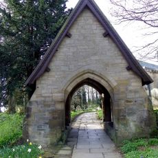
Lychgate North-East Of Church Of St Mary
5.7 km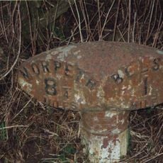
Milepost, East Trewick
4.9 kmAvis
Vous avez visité ce lieu ? Touchez les étoiles pour le noter et partager votre expérience ou vos photos avec la communauté ! Essayez maintenant ! Vous pouvez annuler à tout moment.
Trouvez des trésors cachés à chaque coin de rue !
Des petits cafés pittoresques aux points de vue planqués, fuyez la foule et dénichez les lieux qui vous ressemblent vraiment. Notre app vous facilite la vie : recherche vocale, filtres malins, itinéraires optimisés et bons plans partagés par des voyageurs du monde entier. Téléchargez vite pour vivre l'aventure en version mobile !

Une approche inédite de la découverte touristique❞
— Le Figaro
Tous les lieux qui valent la peine d'être explorés❞
— France Info
Une excursion sur mesure en quelques clics❞
— 20 Minutes