
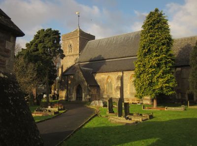
Church of St Saviour, église britannique
Emplacement : Westerleigh
Coordonnées GPS : 51.52480,-2.47169
Dernière mise à jour : 8 mars 2025 à 08:30
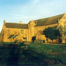
Acton Court
3.5 km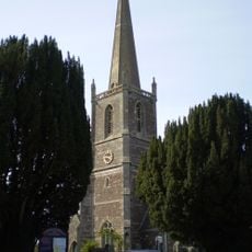
St Michael's Church, Winterbourne
3.2 km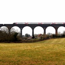
Huckford Viaduct
1.9 km
White Horse Inn
3.4 km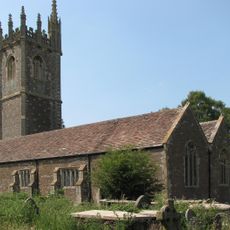
Church of St James the Great
2.8 km
Church of St Peter
1.4 km
Church of St James the Less
2.8 km
Church of St Peter
4.1 km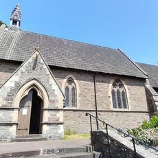
Church of All Saints
2.5 km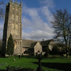
Parish Church of St Mary the Virgin
4.5 km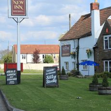
New Inn
1.7 km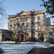
Frenchay Manor
4.2 km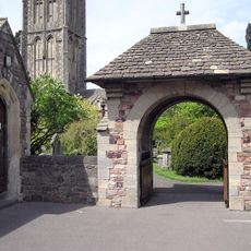
War Memorial Lych Gate
4.5 km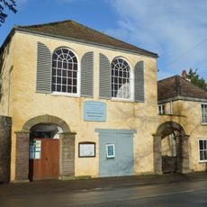
Friends' Meeting House
4.3 km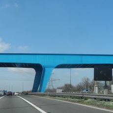
M4 blue bridge
3.5 km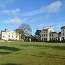
The Old House And Adjoining Coach House And Stables
4.6 km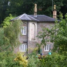
Cleeve Wood Lodge
4.2 km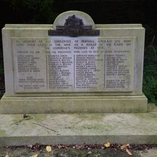
War Memorial and Grave Marker, Church of St Mary's Churchyard
4.5 km
Sign Of The Dolphin
2.6 km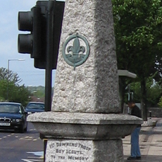
Downend Boy Scouts' War Memorial
4.6 km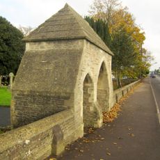
Lychgate And Attached Walls About 30 Metres East Of Church Of St Saviour
56 m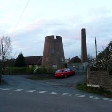
Windmill In Garden Of Number 3
598 m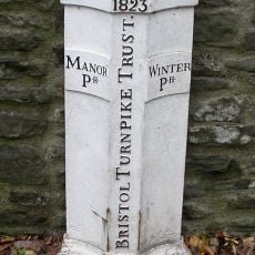
Turnpike Boundary Post On Cleeve Road Bridge
4.2 km
Moorend Farmhouse
2.9 km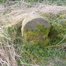
Milestone, Old Gloucester Road, between Frogland Cross & Brickhouse Farm
4 km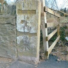
Milestone, Bristol Road, Hambrook
3.5 km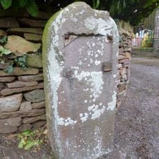
Milestone, Mapstone Close, Hambrook
3.8 km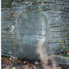
Milestone, Cog Mill Farm, NW of farm
2.4 kmVous avez visité ce lieu ? Touchez les étoiles pour le noter et partager votre expérience ou vos photos avec la communauté ! Essayez maintenant ! Vous pouvez annuler à tout moment.
Trouvez des trésors cachés à chaque coin de rue !
Des petits cafés pittoresques aux points de vue planqués, fuyez la foule et dénichez les lieux qui vous ressemblent vraiment. Notre app vous facilite la vie : recherche vocale, filtres malins, itinéraires optimisés et bons plans partagés par des voyageurs du monde entier. Téléchargez vite pour vivre l'aventure en version mobile !

Une approche inédite de la découverte touristique❞
— Le Figaro
Tous les lieux qui valent la peine d'être explorés❞
— France Info
Une excursion sur mesure en quelques clics❞
— 20 Minutes