
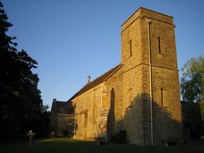
Church of Saint Roch, église britannique
Emplacement : Closworth
Coordonnées GPS : 50.89100,-2.68191
Dernière mise à jour : 5 mars 2025 à 00:40
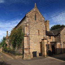
Naish Priory
3.6 km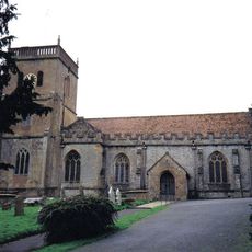
Church of Saint Michael
2.5 km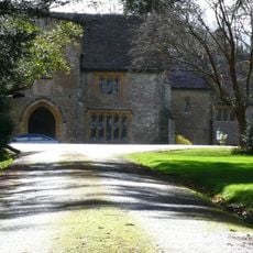
Coker Court
2.4 km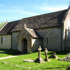
Church of All Saints, Sutton Bingham
2.8 km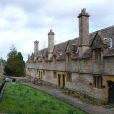
Helyar Almshouses
2.7 km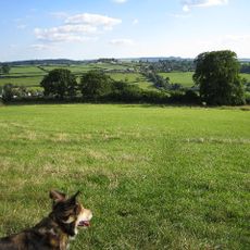
Hardington Moor
2.7 km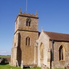
Church of Saint Martin of Tours
3.2 km
Whitevine Meadows
2.5 km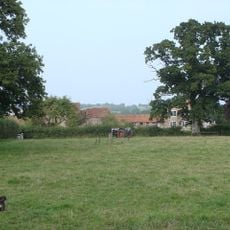
Grove Farm, Somerset
1.2 km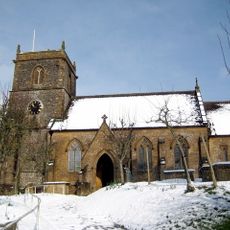
Church of Saint Mary
1.8 km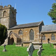
Church of Saint Mary
3.6 km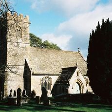
Church of St Juthware and St Mary
2.5 km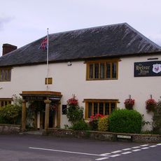
Helyar Arms Public House
2.8 km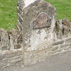
Milestone, Built Into Boundary Wall, Four Acres Hotel
3.2 km
The Castle Public House
3.2 km
Silverweed Cottage
2.8 km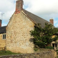
Slade's Farm House
2.8 km
The Walls To The Kitchen Garden, Approximately 30 Metres North North West Of Coker Court
2.6 km
Goodman Chest Tomb, In The Churchyard 1.5 Metres North Of The North Porch, Church Of Saint Michael
2.5 km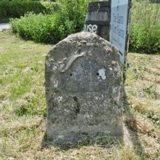
Milestone At Ngr 49151268
3.8 km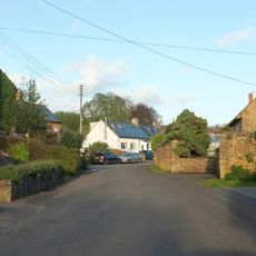
The Pinnacles
4 km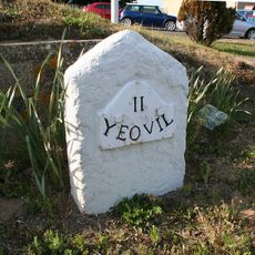
Milestone, 83M South-West Of The Junction Between West Coker Road (A30) And Camp Road
4 km
Milestone, Approximately 30M South-West Of Coker Hill Bridge
3.5 km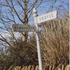
Signpost At Ngr 51871219
1.8 km
Weston House
4.2 km
1 and 3, East Street
3.2 km
Dogwell Farmhouse
3.6 km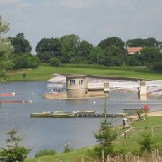
Sutton Bingham Reservoir
2.9 kmVous avez visité ce lieu ? Touchez les étoiles pour le noter et partager votre expérience ou vos photos avec la communauté ! Essayez maintenant ! Vous pouvez annuler à tout moment.
Trouvez des trésors cachés à chaque coin de rue !
Des petits cafés pittoresques aux points de vue planqués, fuyez la foule et dénichez les lieux qui vous ressemblent vraiment. Notre app vous facilite la vie : recherche vocale, filtres malins, itinéraires optimisés et bons plans partagés par des voyageurs du monde entier. Téléchargez vite pour vivre l'aventure en version mobile !

Une approche inédite de la découverte touristique❞
— Le Figaro
Tous les lieux qui valent la peine d'être explorés❞
— France Info
Une excursion sur mesure en quelques clics❞
— 20 Minutes