
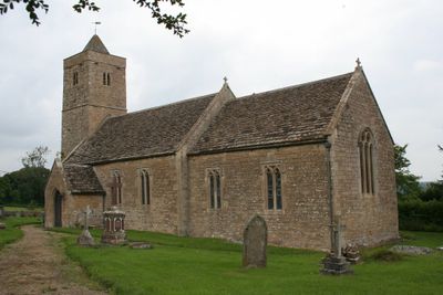
Church of St Leonard, église britannique
Emplacement : Norton St Philip
Création : 15e siècle
Coordonnées GPS : 51.31556,-2.28833
Dernière mise à jour : 3 mars 2025 à 19:51
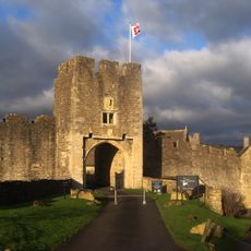
Farleigh Hungerford Castle
228 m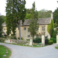
Iford Manor
1.5 km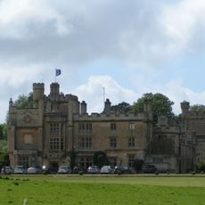
Farleigh House
545 m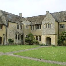
Westwood Manor
2 km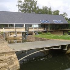
Tellisford Mill
1.8 km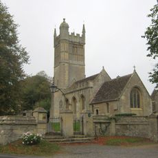
Church of St Mary the Virgin
2 km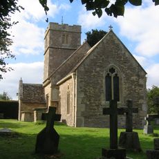
Church of All Saints
1.8 km
Chapel of St Leonard, perimeter wall and gateway, Farleigh Hungerford Castle
229 m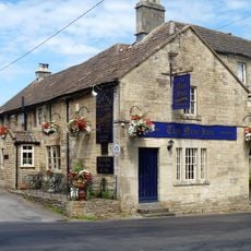
The New Inn
2.2 km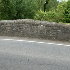
Mill Stream Bridge On A366, About 40 Metres South Of River Frome Bridge
364 m
Bridge Over River Frome On A366, About 40 Metres North Of Mill Stream Bridge
406 m
Tellisford Bridge
1.9 km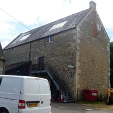
Stowford Mill
1.1 km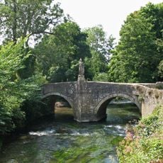
Iford Bridge
1.5 km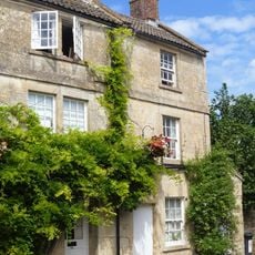
79, Lower Westwood
2.2 km
48, Lower Westwood
2.1 km
Water Tower And Hydrant, About 60 Metres South Of Church Of St Leonard
70 m
86, Lower Westwood
2.2 km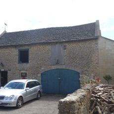
Stable And Coach House To West Of Stowford Manor
1.1 km
Stable At Westwood Manor
2 km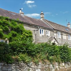
The Old Malthouse
2.1 km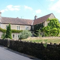
47, Lower Westwood
2.1 km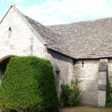
Barn At Westwood Manor
2 km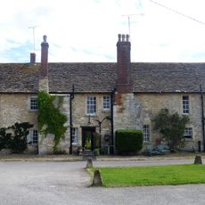
Mill Cottage Stowford Mill House
1.1 km
82, 83 And 84, Lower Westwood
2.2 km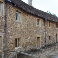
The Priest House and adjoining range, Farleigh Hungerford Castle
251 m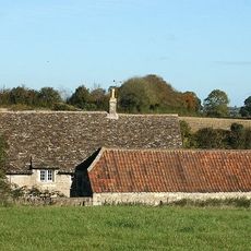
Wick Farmhouse
1.3 km
Milepost, Close to jct of A36 and A366
1.7 kmVous avez visité ce lieu ? Touchez les étoiles pour le noter et partager votre expérience ou vos photos avec la communauté ! Essayez maintenant ! Vous pouvez annuler à tout moment.
Trouvez des trésors cachés à chaque coin de rue !
Des petits cafés pittoresques aux points de vue planqués, fuyez la foule et dénichez les lieux qui vous ressemblent vraiment. Notre app vous facilite la vie : recherche vocale, filtres malins, itinéraires optimisés et bons plans partagés par des voyageurs du monde entier. Téléchargez vite pour vivre l'aventure en version mobile !

Une approche inédite de la découverte touristique❞
— Le Figaro
Tous les lieux qui valent la peine d'être explorés❞
— France Info
Une excursion sur mesure en quelques clics❞
— 20 Minutes