
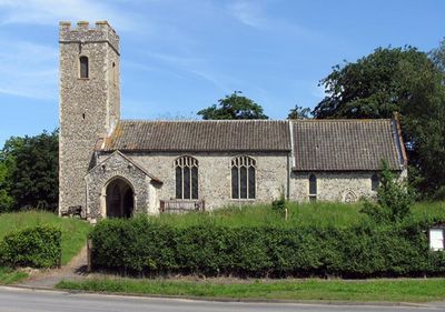
Church of St Andrew, église britannique
Emplacement : Attlebridge
Coordonnées GPS : 52.70750,1.15067
Dernière mise à jour : 11 mars 2025 à 10:48
St Michael the Archangel's Church, Booton
5.6 km
St Faith's Church, Little Witchingham
3.6 km
St Nicholas' Church, Brandiston
4.7 km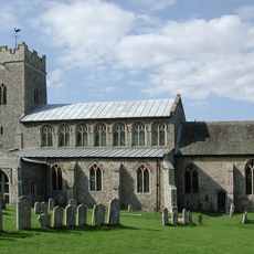
Church of St Peter
2.8 km
Church of St Andrew
5.8 km
Parish Church of St Edmund
4.4 km
Parish Church of St Margaret
4.1 km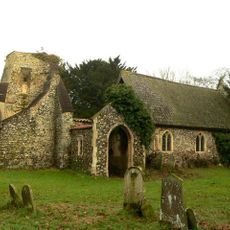
Church of St Margaret
1 km
Church of St Margaret
2.5 km
Church of St Mary
4.1 km
Parish Church of St Peter
4.6 km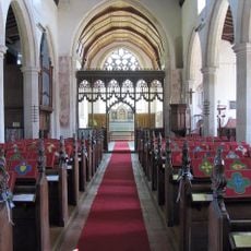
Church of All Saints
1.9 km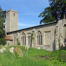
Church of St John the Baptist
2 km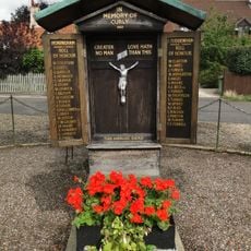
Honingham and East Tuddenham War Memorial
5.7 km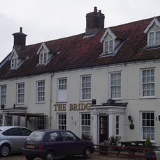
The Bridge Public House
3.2 km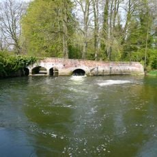
Weir Bridge
5.9 km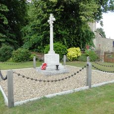
Weston Longville War Memorial
1.9 km
Great Witchingham Hall
2.5 km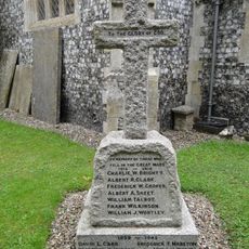
Taverham War Memorial
4.4 km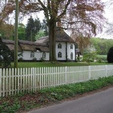
Beehive Lodge
4.8 km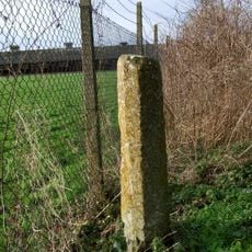
Wayside cross 160m north west of Stump Cross Farm
4.4 km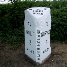
Milepost, c.1/5 mile N of Cherry Tree Farm, between tel. poles 5 & 6
5.8 km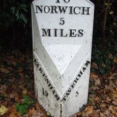
Milepost, Fakenham Road, opp. No. 230
4.3 km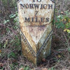
Milepost, 10m N of double metal farm gate into field
1.2 km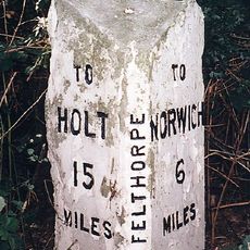
Milepost, 10m N of pull-in/layby
5.4 km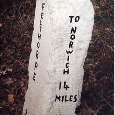
Milestone, Holt Road, opp. No. 24
5.4 km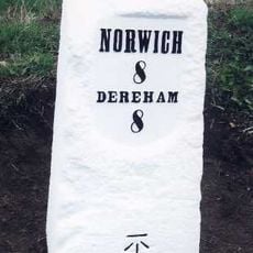
Milestone, Dereham Road, opp. No. 43
5.8 km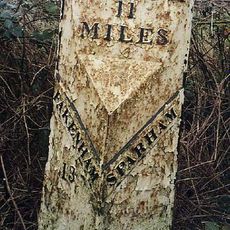
Milepost, 140yds E of turning to Wildlife Park
5.1 kmVous avez visité ce lieu ? Touchez les étoiles pour le noter et partager votre expérience ou vos photos avec la communauté ! Essayez maintenant ! Vous pouvez annuler à tout moment.
Trouvez des trésors cachés à chaque coin de rue !
Des petits cafés pittoresques aux points de vue planqués, fuyez la foule et dénichez les lieux qui vous ressemblent vraiment. Notre app vous facilite la vie : recherche vocale, filtres malins, itinéraires optimisés et bons plans partagés par des voyageurs du monde entier. Téléchargez vite pour vivre l'aventure en version mobile !

Une approche inédite de la découverte touristique❞
— Le Figaro
Tous les lieux qui valent la peine d'être explorés❞
— France Info
Une excursion sur mesure en quelques clics❞
— 20 Minutes