
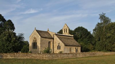
Church of St Mary, église britannique
Emplacement : Hampton Gay and Poyle
Coordonnées GPS : 51.83610,-1.27811
Dernière mise à jour : 4 mars 2025 à 22:22
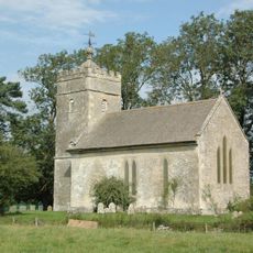
Church of St Giles
1.7 km
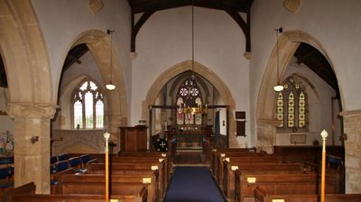
Church of St Mary
723 m
Sterling Cinema
1.5 km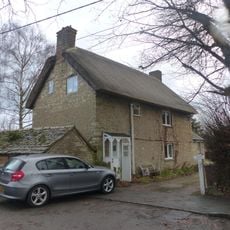
86 and 88, Church Street
786 m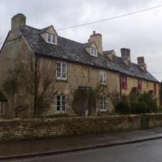
74 and 76, Church Street
799 m
78, Church Street
788 m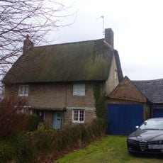
82 and 84, Church Street
797 m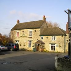
The Boat Public House
1.8 km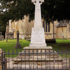
Kidlington and Hamlets War Memorial
765 m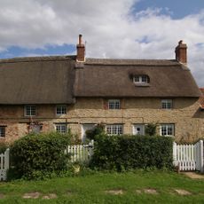
Thrupp Yard Cottages and attched outbuilding
1.5 km
Shipton Lift Bridge (219) Sp 4850 1675, Oxford Canal
1.8 km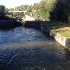
Bridge At Shipton Weir Lock, Oxford Canal
1.8 km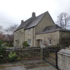
Old Priest's House
762 m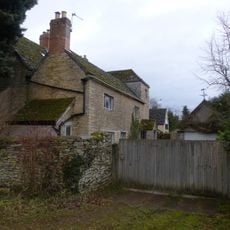
The Old Manor House
289 m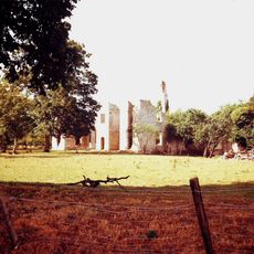
Ruins of Manor House
1.6 km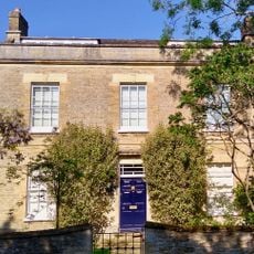
Exeter House
1.9 km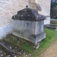
Chest tomb approximately 1/2 metre west of Church of St Mary
732 m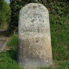
Milestone On Banbury Road, Kidlington
1.6 km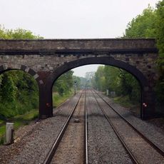
Railway Bridge At Sp 4832 1529
1.5 km
Manor Farmhouse
1.4 km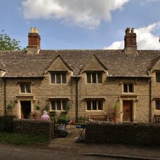
Morton Almshouses
763 m
Poyle Court
322 m
Model Farmhouse
459 m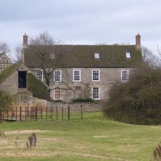
Manor Farmhouse
91 m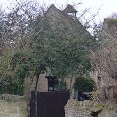
Dovecote and granary approximately 15 metres east of Manor Farmhouse
1.7 km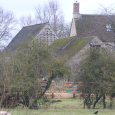
Outbuilding approximately 5 metres north west of Manor Farmhouse
87 m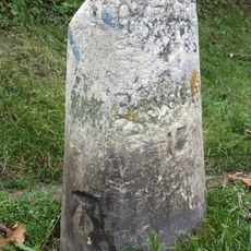
Milestone, Banbury Road; by No.118 & 120
1.6 km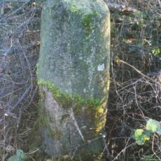
Milestone, Islip Road; between Diamond Farm and Bletchingdon
2.1 kmVous avez visité ce lieu ? Touchez les étoiles pour le noter et partager votre expérience ou vos photos avec la communauté ! Essayez maintenant ! Vous pouvez annuler à tout moment.
Trouvez des trésors cachés à chaque coin de rue !
Des petits cafés pittoresques aux points de vue planqués, fuyez la foule et dénichez les lieux qui vous ressemblent vraiment. Notre app vous facilite la vie : recherche vocale, filtres malins, itinéraires optimisés et bons plans partagés par des voyageurs du monde entier. Téléchargez vite pour vivre l'aventure en version mobile !

Une approche inédite de la découverte touristique❞
— Le Figaro
Tous les lieux qui valent la peine d'être explorés❞
— France Info
Une excursion sur mesure en quelques clics❞
— 20 Minutes