
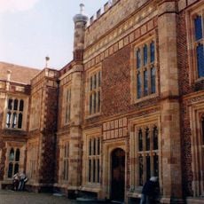
Fishers Farm House, farmhouse in Woking, Surrey, England, UK
Emplacement : Woking
Coordonnées GPS : 51.29340,-0.54762
Dernière mise à jour : 21 mars 2025 à 13:01
Sutton Place
2.4 km
Shah Jahan Mosque
3.2 km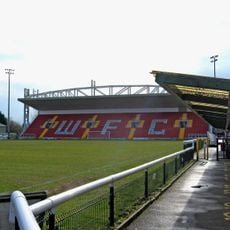
Kingfield Stadium
1.6 km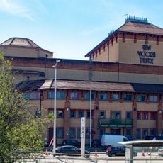
New Victoria Theatre
3.1 km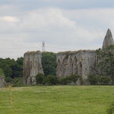
Newark Priory
3.3 km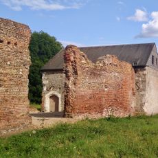
Woking Palace moated site, fishponds and ruins at Oldhall Copse
2 km
The Lightbox
3.2 km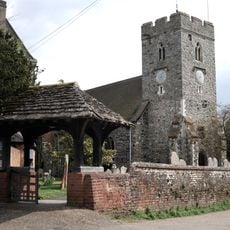
St Peter's Church, Old Woking
1.2 km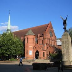
Christ Church, Woking
3 km
Woking Civic Offices
3.2 km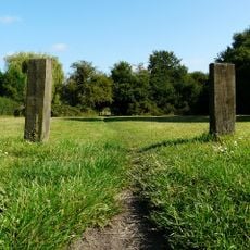
Westfield Common
876 m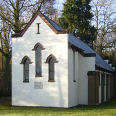
All Souls' Church, Sutton Green
1.3 km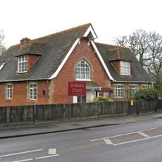
St Mark's Church, Woking
1.2 km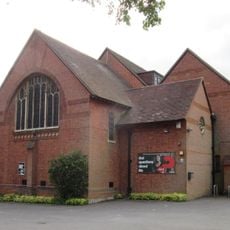
St Mary of Bethany Church
2.4 km
Papercourt Marshes
2.4 km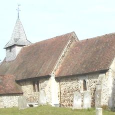
Église Saint-Nicolas de Pyrford
3.5 km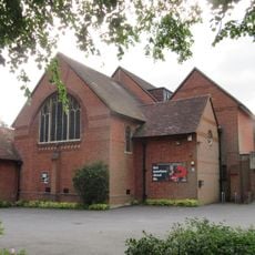
Church of St Mary of Bethany
2.4 km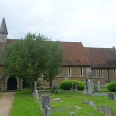
St Luke's Church
3.5 km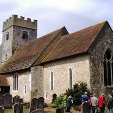
Church of St Mary
1.7 km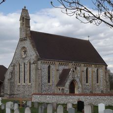
Church of St Edward the Confessor
2.3 km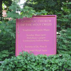
Chapel Of The Former Convent Of St Peter
3.1 km
Chapel 100 Yards North West Of Hoe Place
1.8 km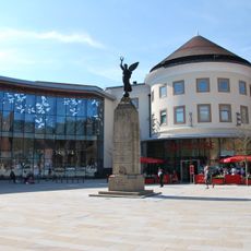
Woking War Memorial
3.1 km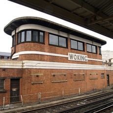
Woking Signal Box, Woking Station At West End Of Platforms 2 And 3
2.8 km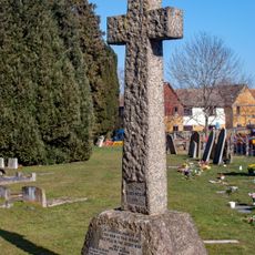
Burpham War Memorial
3.5 km
Morrisons
2.8 km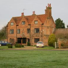
The Manor House
2.4 km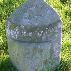
Milestone, Portsmouth Road, Send Marsh, by Barretts Garden Buildings (Shed Factory), opp. Milestone Close
3.2 kmAvis
Vous avez visité ce lieu ? Touchez les étoiles pour le noter et partager votre expérience ou vos photos avec la communauté ! Essayez maintenant ! Vous pouvez annuler à tout moment.
Trouvez des trésors cachés à chaque coin de rue !
Des petits cafés pittoresques aux points de vue planqués, fuyez la foule et dénichez les lieux qui vous ressemblent vraiment. Notre app vous facilite la vie : recherche vocale, filtres malins, itinéraires optimisés et bons plans partagés par des voyageurs du monde entier. Téléchargez vite pour vivre l'aventure en version mobile !

Une approche inédite de la découverte touristique❞
— Le Figaro
Tous les lieux qui valent la peine d'être explorés❞
— France Info
Une excursion sur mesure en quelques clics❞
— 20 Minutes