
Kenningtons, building in Thurrock, Essex, England, UK
Emplacement : Thurrock
Coordonnées GPS : 51.51300,0.25102
Dernière mise à jour : 27 avril 2025 à 18:20
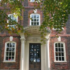
Rainham Hall
4.2 km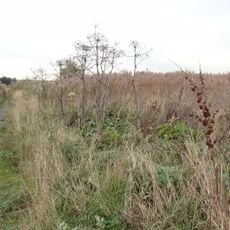
Rainham Marshes Nature Reserve
3.1 km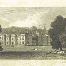
Belhus
1.2 km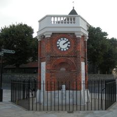
Rainham War Memorial
4.3 km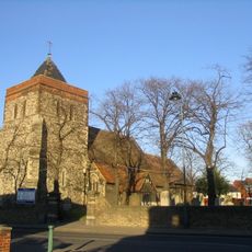
Church of St Helen and St Giles
4.2 km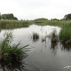
Ingrebourne Marshes
3.4 km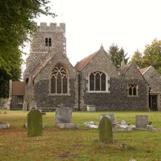
Church of St Mary Magdalene, North Ockendon
4.1 km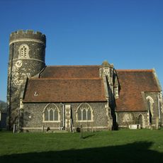
Church of St Nicholas
3.4 km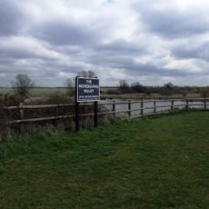
Ingrebourne Valley
4 km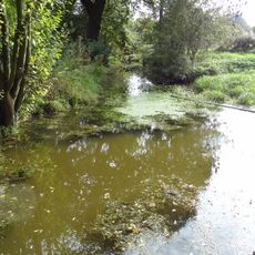
Cranham Marsh
3.9 km
Purfleet Chalk Pits
3.3 km
Purfleet Road, Aveley
2 km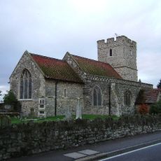
St Mary and St Peter's Church, Wennington
2.4 km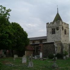
Church of St Michael
1.7 km
Church House
3.4 km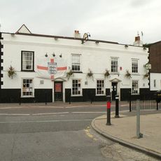
Crown And Anchor Hotel
1.6 km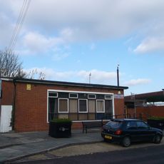
Aveley Library
1.5 km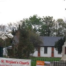
St Stephen's Church
3.6 km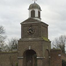
Clock Tower And Attached Walls
3.4 km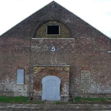
Government Powder Magazine
3.5 km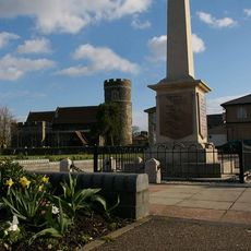
South Ockendon War Memorial
3.4 km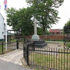
Aveley War Memorial
1.7 km
Forecourt railings, gates and piers walls and vases at Rainham Hall
4.2 km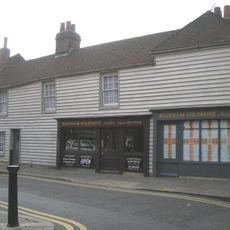
2-8, Upminster Road South
4.2 km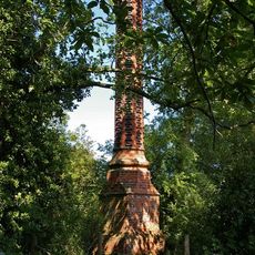
Stench Pipe
1.1 km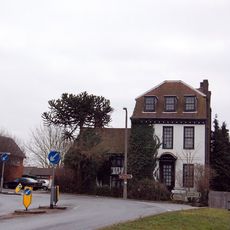
High House Farmhouse
3.3 km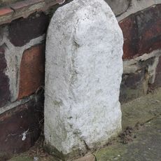
Milestone, Corbets Tey Road
2.3 km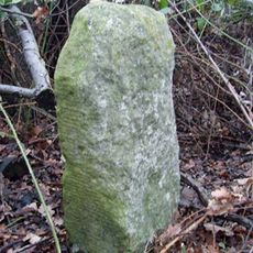
Milestone, by old footpath parallel to road within Belhus Woods Country Park
687 mAvis
Vous avez visité ce lieu ? Touchez les étoiles pour le noter et partager votre expérience ou vos photos avec la communauté ! Essayez maintenant ! Vous pouvez annuler à tout moment.
Trouvez des trésors cachés à chaque coin de rue !
Des petits cafés pittoresques aux points de vue planqués, fuyez la foule et dénichez les lieux qui vous ressemblent vraiment. Notre app vous facilite la vie : recherche vocale, filtres malins, itinéraires optimisés et bons plans partagés par des voyageurs du monde entier. Téléchargez vite pour vivre l'aventure en version mobile !

Une approche inédite de la découverte touristique❞
— Le Figaro
Tous les lieux qui valent la peine d'être explorés❞
— France Info
Une excursion sur mesure en quelques clics❞
— 20 Minutes