
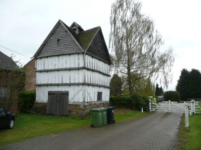
Hawford Dovecote, dovecote in Ombersley, Worcestershire, England, UK
Emplacement : Ombersley
Coordonnées GPS : 52.24384,-2.22642
Dernière mise à jour : 25 avril 2025 à 11:53
The Mug House
1.9 km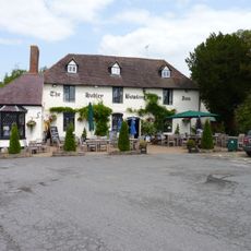
Bowling Green Inn
2.2 km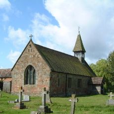
Church of St Michael and All Angels, Martin Hussingtree
3.1 km
The Venture Inn
2.9 km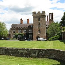
Château d'Holt
2.5 km
Church of St Michael, Salwarpe
3.2 km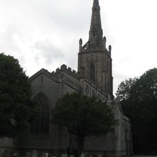
Church of St Andrew, Ombersley
2.9 km
Church of St Bartholomew's
1 km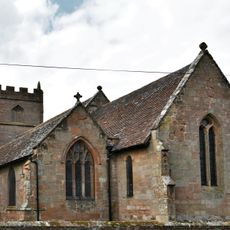
Church of St Martin, Holt
2.5 km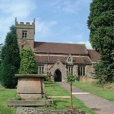
Church of St John the Baptist, Claines
1.9 km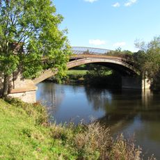
Bevere Bridge
1.5 km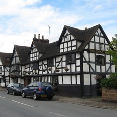
King's Arms Public House
2.8 km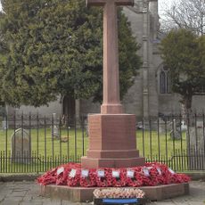
Ombersley War Memorial
2.9 km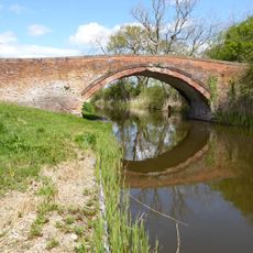
Linacre Bridge
666 m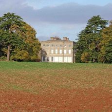
Ombersley Court
2.8 km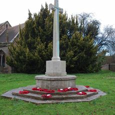
Claines War Memorial
1.9 km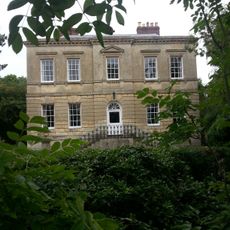
Rose Place
2.6 km
Mill Hall
1.5 km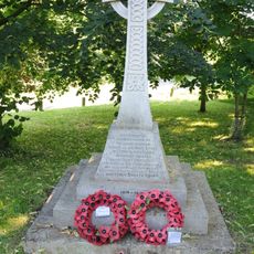
Salwarpe War Memorial
3.2 km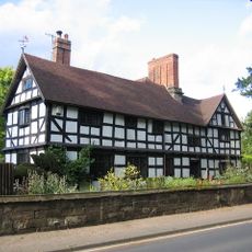
The Dower House
3.1 km
Barn About 30 Yards South-West Of Walnut Tree Farmhouse
2.1 km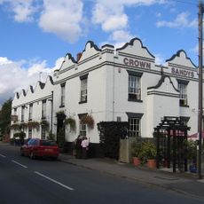
Crown And Sandys Arms
2.8 km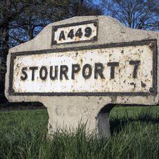
Milestone, jct with A4133; 20m N of junc with old road thro' Ombersley
2.1 km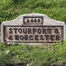
Milestone, Hawford Wood, N-bound carriageway at SO8444661092
479 m
Milestone, Hawford Wood, N-bound carriageway at SO8444161102
490 m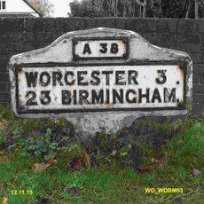
Milestone, Droitwich Road, Fernhill Heath
2.6 km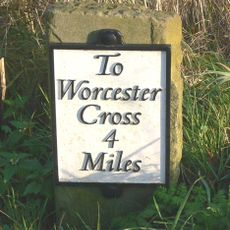
Milestone, opp drive to park
1.9 km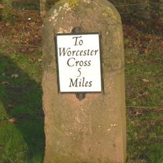
Milestone, entrance to Top Barn, Quarry Pools
2 kmAvis
Vous avez visité ce lieu ? Touchez les étoiles pour le noter et partager votre expérience ou vos photos avec la communauté ! Essayez maintenant ! Vous pouvez annuler à tout moment.
Trouvez des trésors cachés à chaque coin de rue !
Des petits cafés pittoresques aux points de vue planqués, fuyez la foule et dénichez les lieux qui vous ressemblent vraiment. Notre app vous facilite la vie : recherche vocale, filtres malins, itinéraires optimisés et bons plans partagés par des voyageurs du monde entier. Téléchargez vite pour vivre l'aventure en version mobile !

Une approche inédite de la découverte touristique❞
— Le Figaro
Tous les lieux qui valent la peine d'être explorés❞
— France Info
Une excursion sur mesure en quelques clics❞
— 20 Minutes