
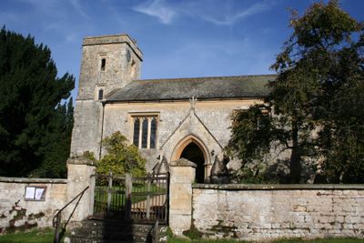
Church of St Leonard, Waterstock, église britannique
Emplacement : Waterstock
Coordonnées GPS : 51.74530,-1.08079
Dernière mise à jour : 2 mars 2025 à 21:55
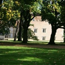
Rycote House
3.2 km
Church of St Bartholomew, Holton
3.1 km
Church of St Helen
2.1 km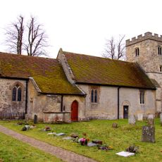
Church of St Peter and St Paul
2.6 km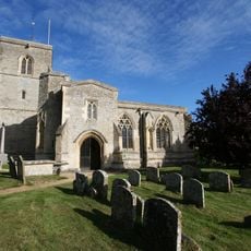
Church of St Mary
3.3 km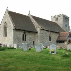
Parish Church of St Mary Magdalene
3.3 km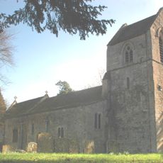
Parish Church of St Nicholas
2.1 km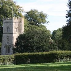
Rycote Chapel
3.3 km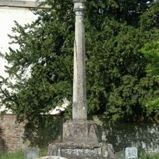
Church of St Mary, Churchyard Cross Approximately 10 Metres To South
953 m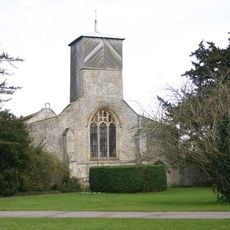
Church of St Mary
962 m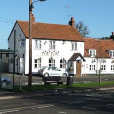
The Fox Inn
1.4 km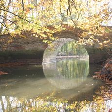
Waterperry House, Bow Bridge Approximately 750 Metres To South (That Part In The Parish Of Waterperry)
318 m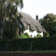
Choseley Cottage
1.4 km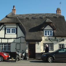
The Rising Sun Public House
2.4 km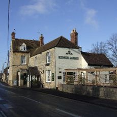
The Kings Arms Public House
3.5 km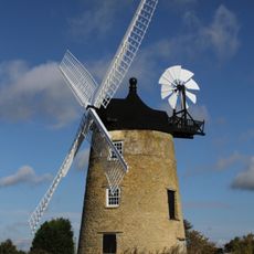
Haseley Windmill
3.2 km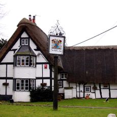
Clifden Arms
2.6 km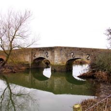
Ickford Bridge
1.6 km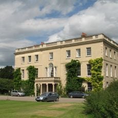
Waterperry House And Attached Wall
941 m
Schoolhouse And Attached Infants School
2.7 km
The Almshouses
2.9 km
Ambrose Farmhouse
3.5 km
19, 21 And 23, Crown Road
3.6 km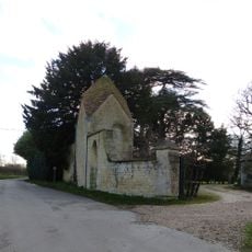
Waterstock House, Pump House With Attached Wall And Gatepier
143 m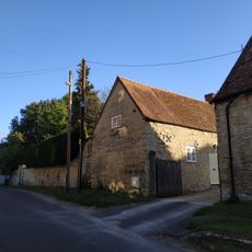
Wall And Outbuildings Along Crown Road In Front Of Mulberry Court
3.7 km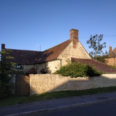
5, Roman Road
3.4 km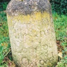
Milestone Approximately 60 Metres East Of The Avenue
3 km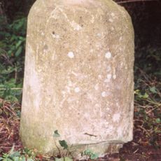
Milestone, London Road; Milton Common, W of Belfry Hotel, opp. Old London Road
2.4 kmVous avez visité ce lieu ? Touchez les étoiles pour le noter et partager votre expérience ou vos photos avec la communauté ! Essayez maintenant ! Vous pouvez annuler à tout moment.
Trouvez des trésors cachés à chaque coin de rue !
Des petits cafés pittoresques aux points de vue planqués, fuyez la foule et dénichez les lieux qui vous ressemblent vraiment. Notre app vous facilite la vie : recherche vocale, filtres malins, itinéraires optimisés et bons plans partagés par des voyageurs du monde entier. Téléchargez vite pour vivre l'aventure en version mobile !

Une approche inédite de la découverte touristique❞
— Le Figaro
Tous les lieux qui valent la peine d'être explorés❞
— France Info
Une excursion sur mesure en quelques clics❞
— 20 Minutes