
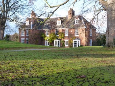
The Hall, house in Waters Upton, Telford and Wrekin, England, UK
Emplacement : Waters Upton
Coordonnées GPS : 52.77200,-2.54421
Dernière mise à jour : 3 mars 2025 à 03:33
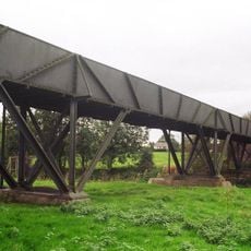
Longdon-Upon-Tern aqueduct
4.2 km
Apley Castle
6.6 km
Maison d'High Ercall
4.5 km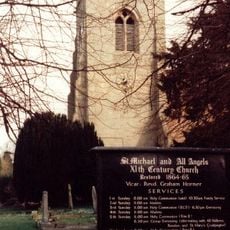
St Michael's Church, High Ercall
4.5 km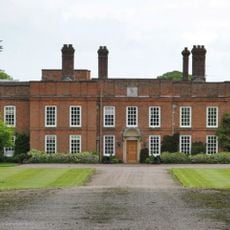
Peplow Hall
5.2 km
Church of St Lawrence
6.3 km
All Hallows, Rowton
1.8 km
Church of St George
6.8 km
Church of St Michael
6.4 km
Church of St. Catherine
5 km
Church of St. John the Baptist
2.3 km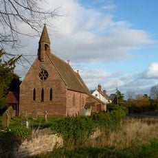
Church of St Michael
78 m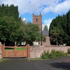
Church of All Saints
4.8 km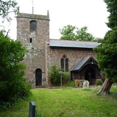
Church of St Chad
4.8 km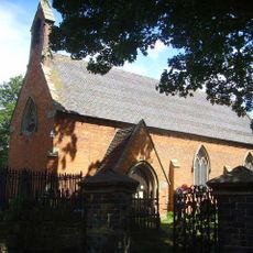
Church of St Bartholomew
4.2 km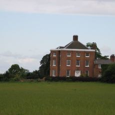
High Hatton Hall
6 km
St Mary
1.4 km
Stable At Poynton Manor
6.6 km
New Caynton Mill House
6.9 km
Moreton Mill
6.7 km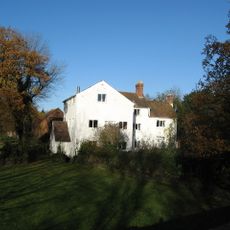
Ercall Mill Mill House
5.8 km
Longacre
3.5 km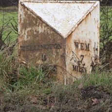
Milepost Approximately 425 Metres To South Of Field House
6.3 km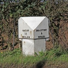
Mile Post Approximately 18 Metres South East Of Lodgebank
7.4 km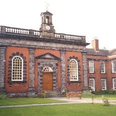
Preston Hospital Including Screen And Gates In Front
6.2 km
Moated site, ridge and furrow cultivation remains and a building platform immediately north of Lower Grounds
5.4 km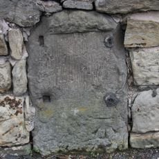
Milestone, Whitchurch Road, nr jcn Apley Avenue
7.4 km
Milestone, Ercall Magna; opp. Poynton turn
6.7 kmAvis
Vous avez visité ce lieu ? Touchez les étoiles pour le noter et partager votre expérience ou vos photos avec la communauté ! Essayez maintenant ! Vous pouvez annuler à tout moment.
Trouvez des trésors cachés à chaque coin de rue !
Des petits cafés pittoresques aux points de vue planqués, fuyez la foule et dénichez les lieux qui vous ressemblent vraiment. Notre app vous facilite la vie : recherche vocale, filtres malins, itinéraires optimisés et bons plans partagés par des voyageurs du monde entier. Téléchargez vite pour vivre l'aventure en version mobile !

Une approche inédite de la découverte touristique❞
— Le Figaro
Tous les lieux qui valent la peine d'être explorés❞
— France Info
Une excursion sur mesure en quelques clics❞
— 20 Minutes