
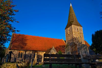
Church of All Saints, église britannique
Emplacement : Birchington
Coordonnées GPS : 51.37370,1.30604
Dernière mise à jour : 13 mars 2025 à 12:33
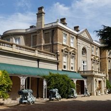
Quex Park
1.3 km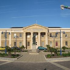
Royal Sea Bathing Hospital
4.4 km
Powell-Cotton Museum
963 m
Carlton Cinema
2.3 km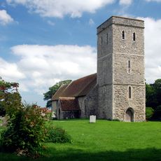
Church of Saint Mary Magdalene, Monkton
4.4 km
Church of St Saviour
2.3 km
Church of Saint Nicholas
4.3 km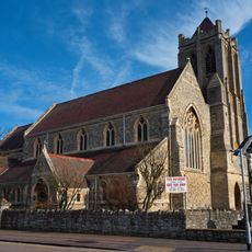
Church of All Saints
4.4 km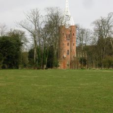
Waterloo Tower In Grounds Of Quex Park
1.3 km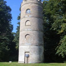
Gun Tower In The Grounds Of Quex Park
825 m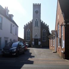
Birchington Methodist Chapel
168 m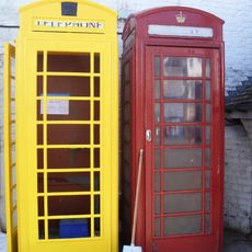
K6 Telephone Kiosk Outside The Church
45 m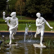
2 Statues In Centre Of Lily Pond At Quex Park
934 m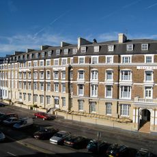
Nayland Rock Hotel
4.7 km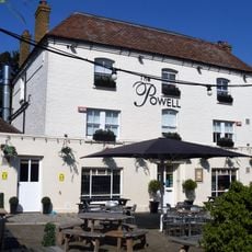
The Powell Arms Public House
35 m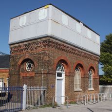
Water Tower At Margate Station
4.7 km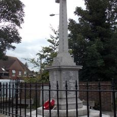
Birchington and Acol War Memorial and memorial enclosure
49 m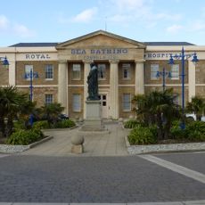
Statue of Erasmus Wilson to South of Royal Sea Bathing Hospital
4.4 km
Smugglers' Cafe
146 m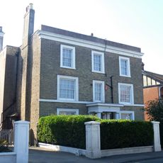
199, Canterbury Road
223 m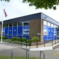
Spitfire & Hurricane Memorial Museum
4 km
Nayland Rock
4.7 km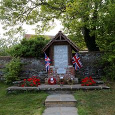
Monkton War Memorial
4.4 km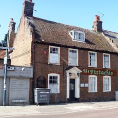
Laburnum
51 m
Quex House
1 km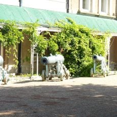
4 Bronze Gun Carriages Situated In Front Of The Powell Cotton Museum Building
998 m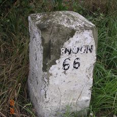
Milestone, Canterbury Road West, 400m E of A299 roundabout
3.6 km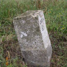
Milestone, E of Gore Street (200m from small group of isolated buildings)
4.6 kmVous avez visité ce lieu ? Touchez les étoiles pour le noter et partager votre expérience ou vos photos avec la communauté ! Essayez maintenant ! Vous pouvez annuler à tout moment.
Trouvez des trésors cachés à chaque coin de rue !
Des petits cafés pittoresques aux points de vue planqués, fuyez la foule et dénichez les lieux qui vous ressemblent vraiment. Notre app vous facilite la vie : recherche vocale, filtres malins, itinéraires optimisés et bons plans partagés par des voyageurs du monde entier. Téléchargez vite pour vivre l'aventure en version mobile !

Une approche inédite de la découverte touristique❞
— Le Figaro
Tous les lieux qui valent la peine d'être explorés❞
— France Info
Une excursion sur mesure en quelques clics❞
— 20 Minutes