
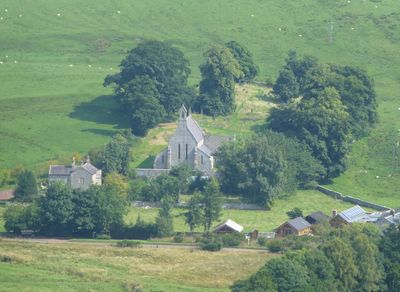
Church of St Michael, église britannique
Emplacement : Alwinton
Coordonnées GPS : 55.34600,-2.12137
Dernière mise à jour : 11 mars 2025 à 13:42
Parc national du Northumberland
6.9 km
Harbottle Castle
1.3 km
Bremenium
11.6 km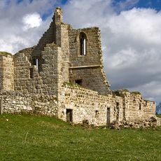
Cartington Castle
11.5 km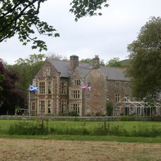
Clennell Hall
1.5 km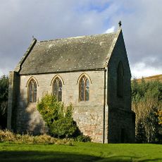
Biddlestone RC Chapel
4 km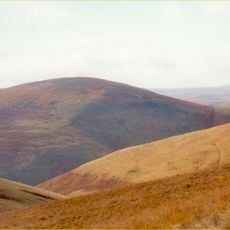
Shillhope Law
6.4 km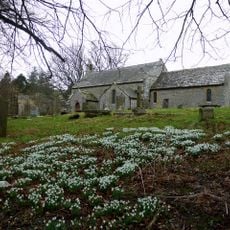
Church of St Michael, Alnham
8.5 km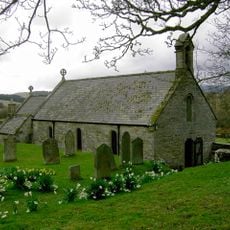
Church of St Mary
4.4 km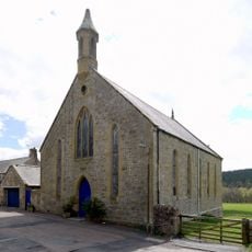
Presbyterian Church
1.4 km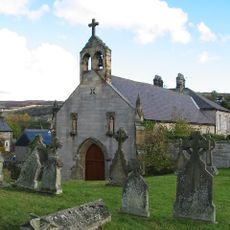
Roman Catholic Church of All Saints
11.1 km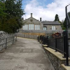
Harbottle Church Of England Aided First School
1.5 km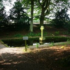
The Lady's Well
4.1 km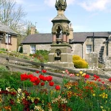
Clennel Memorial Fountain
1.5 km
Tosson Burgh
11.3 km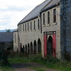
Farmbuildings Circa 30 Metres West North West Of Lorbottle Farmhouse
10.9 km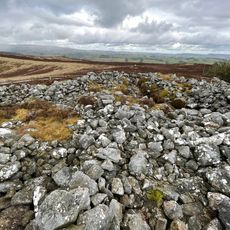
Round cairn 340m west of The Beacon
6.1 km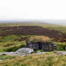
Observation post 240m west of Ridlees Cairn
8.5 km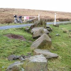
Roman camp, 900m NNE of Featherwood
10.4 km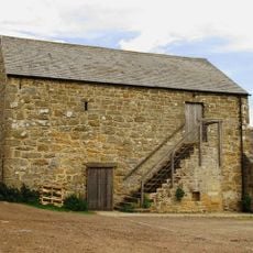
Bastle at The Raw Farm
8 km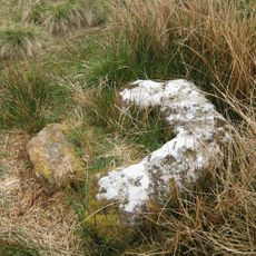
Middle Golden Pot medieval wayside cross
11.2 km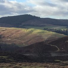
Multivallate hillfort, 400m west of Harehaugh
7.5 km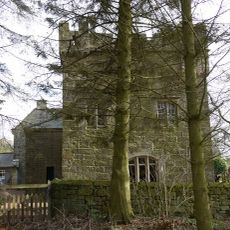
Tower House
8.4 km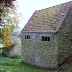
Woodhouses Bastlehouse
6.9 km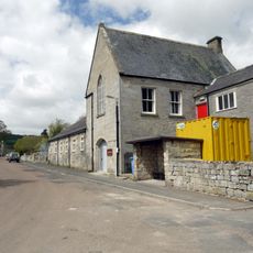
New Hall
1.6 km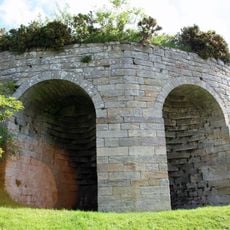
Limekiln Circa 200 Yards North West Of Park House
225 m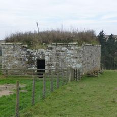
Bastle, 500m west of High Shaw
7.6 km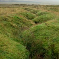
World War I practice trenches 740m north west of Short Fell
9.4 kmVous avez visité ce lieu ? Touchez les étoiles pour le noter et partager votre expérience ou vos photos avec la communauté ! Essayez maintenant ! Vous pouvez annuler à tout moment.
Trouvez des trésors cachés à chaque coin de rue !
Des petits cafés pittoresques aux points de vue planqués, fuyez la foule et dénichez les lieux qui vous ressemblent vraiment. Notre app vous facilite la vie : recherche vocale, filtres malins, itinéraires optimisés et bons plans partagés par des voyageurs du monde entier. Téléchargez vite pour vivre l'aventure en version mobile !

Une approche inédite de la découverte touristique❞
— Le Figaro
Tous les lieux qui valent la peine d'être explorés❞
— France Info
Une excursion sur mesure en quelques clics❞
— 20 Minutes