
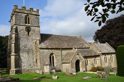
Church of St Andrew, église britannique
Emplacement : Miserden
Coordonnées GPS : 51.77900,-2.09384
Dernière mise à jour : 4 mars 2025 à 14:01
Château de Brimpsfield
3.9 km
Edgeworth Manor
3.3 km
Miserden Castle
841 m
Rough Bank, Miserden
2.9 km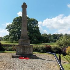
Miserden War Memorial
45 m
Juniper Hill, Edgeworth
3.2 km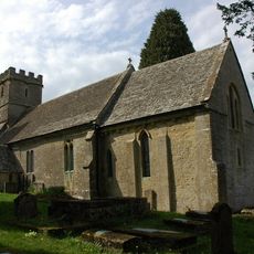
Church of St Mary
3.2 km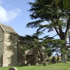
Church of St Bartholomew
3 km
Davenport House
3.7 km
Church of St Mary the Virgin
2.3 km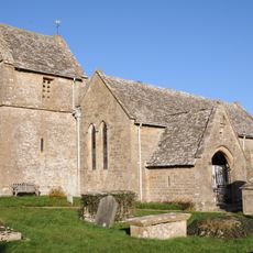
Church of St Peter
3.6 km
Unidentified monument in the churchyard approximately 2m south of porch to Church Of St Bartholomew
3 km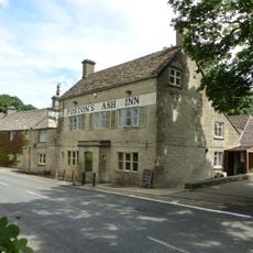
Foston's Ash Inn
3.3 km
Unidentified monument in the churchyard approximately 4.5m south of chancel to Church of St Bartholomew
3 km
Througham Court
1.8 km
Whitehead's Well
3.9 km
High Cottages
2.6 km
Morcombe Farmhouse
1.6 km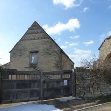
Barn approximately 3m north west of Croft Farmhouse
2.8 km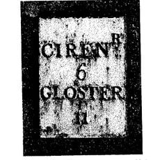
Milestone
3.6 km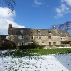
Manor Farmhouse
3 km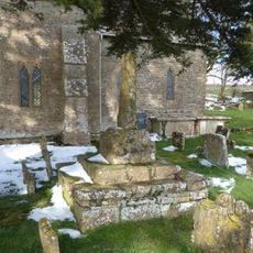
Churchyard cross in St Bartholomew's churchyard
3 km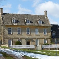
Caudle Green Farmhouse
1.7 km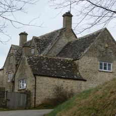
Well Hill
3.6 km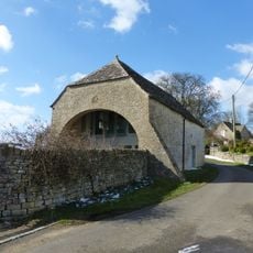
Barn and garages approximately 10m north of Croft Farmhouse
2.8 km
Churchyard cross in St Mary's churchyard
3.2 km
Througham Slad Farmhouse Including 2 Walled Courtyards With Gate Pier
2.7 km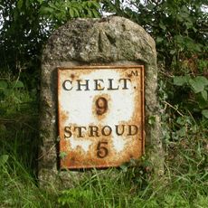
Milestone, Sheepscombe; 250m W crossroads to Sheepscombe & Miserden
3.4 kmVous avez visité ce lieu ? Touchez les étoiles pour le noter et partager votre expérience ou vos photos avec la communauté ! Essayez maintenant ! Vous pouvez annuler à tout moment.
Trouvez des trésors cachés à chaque coin de rue !
Des petits cafés pittoresques aux points de vue planqués, fuyez la foule et dénichez les lieux qui vous ressemblent vraiment. Notre app vous facilite la vie : recherche vocale, filtres malins, itinéraires optimisés et bons plans partagés par des voyageurs du monde entier. Téléchargez vite pour vivre l'aventure en version mobile !

Une approche inédite de la découverte touristique❞
— Le Figaro
Tous les lieux qui valent la peine d'être explorés❞
— France Info
Une excursion sur mesure en quelques clics❞
— 20 Minutes