
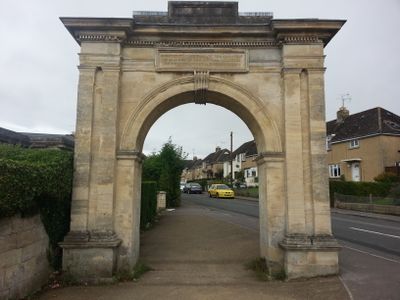
Archway, Formerly To Farm Hill Park, archway in Stroud, Stroud, England, UK
Emplacement : Stroud
Coordonnées GPS : 51.75030,-2.23618
Dernière mise à jour : 24 mars 2025 à 07:30
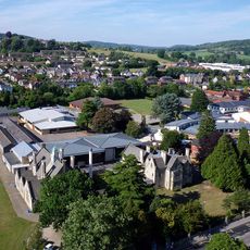
Marling School
548 m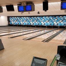
Stroud Bowl
1.3 km
Stratford Park
871 m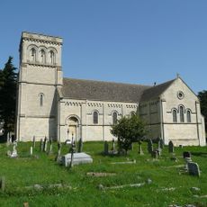
Church of St Paul
1.1 km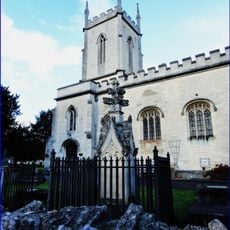
Church of St Matthew
1.1 km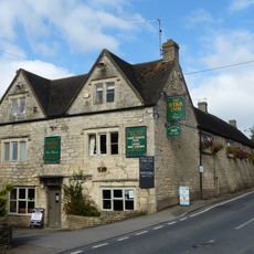
Star Inn
1.2 km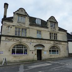
Ye Old Painswick Inn
1.4 km
The Greyhound Inn Public House
1.4 km
Church of the Immaculate Conception
1.2 km
Willow Court, The Old Court House and Willow House
1.4 km
Hill Paul building
1.4 km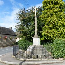
Whiteshill War Memorial
1.2 km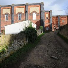
Lodgemoor Mills
945 m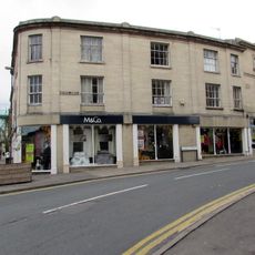
The Cooperative Stores
1.3 km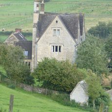
Privy approximately 30 metres west of Stokenhill Farmhouse
1.4 km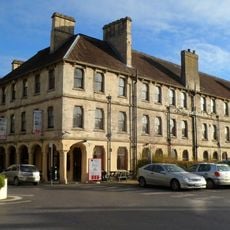
Imperial Hotel
1.3 km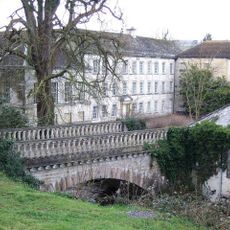
Lodgemoor Mills Bridge
981 m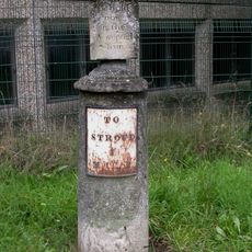
Sundial And Milepost
817 m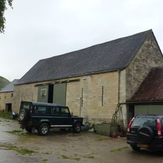
Barn approximately 10 metres south of Ruscombe Farmhouse
1.2 km
British School, including railings to street
1.4 km
23 And 25, Westward Road
874 m
2, Lansdown
1.4 km
Nos 1 and 2 (Gannicox House) and No 3
771 m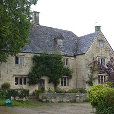
Ruscombe Farmhouse
1.2 km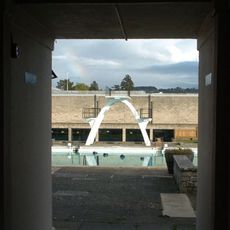
Stratford Park Diving Platform
702 m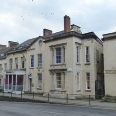
Numbers 1 to 10 (consecutive) including iron railings to areas of Numbers 1, 2, 3 and 6
1.3 km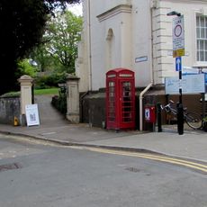
K6 Telephone Kiosk, High Street
1.4 km
Lodgemoor Mills Office Block
926 mAvis
Vous avez visité ce lieu ? Touchez les étoiles pour le noter et partager votre expérience ou vos photos avec la communauté ! Essayez maintenant ! Vous pouvez annuler à tout moment.
Trouvez des trésors cachés à chaque coin de rue !
Des petits cafés pittoresques aux points de vue planqués, fuyez la foule et dénichez les lieux qui vous ressemblent vraiment. Notre app vous facilite la vie : recherche vocale, filtres malins, itinéraires optimisés et bons plans partagés par des voyageurs du monde entier. Téléchargez vite pour vivre l'aventure en version mobile !

Une approche inédite de la découverte touristique❞
— Le Figaro
Tous les lieux qui valent la peine d'être explorés❞
— France Info
Une excursion sur mesure en quelques clics❞
— 20 Minutes