
Well Farmhouse, Wick Street, farmhouse in Painswick, Stroud, England, UK
Emplacement : Painswick
Coordonnées GPS : 51.76990,-2.19690
Dernière mise à jour : 22 avril 2025 à 08:03
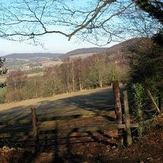
Bull Cross, The Frith and Juniper Hill
850 m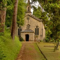
Church of Holy Trinity
908 m
Church of St John the Baptist
1.4 km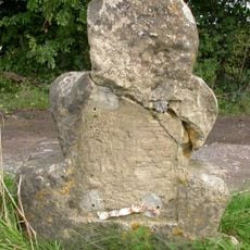
Milestone
1.5 km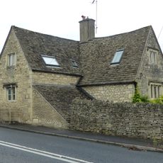
The Eagle
1.1 km
Pitchcombe War Memorial
1.4 km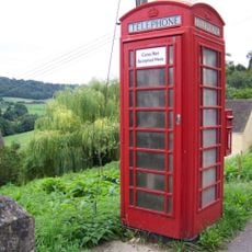
K6 Telephone Kiosk
924 m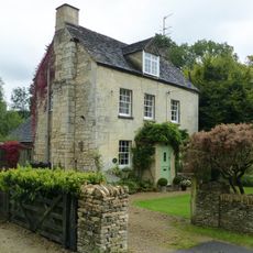
Painswick Mill Cottage
1.3 km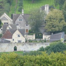
The Sheephouse
847 m
Gate screen approximately 18 metres south of Pitchcombe House
1.6 km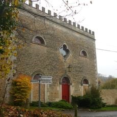
Red Stables
1.2 km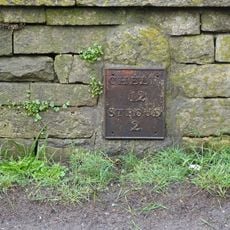
Plate To Milestone On Boundary Wall To School
918 m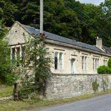
School and school house with boundary walls
910 m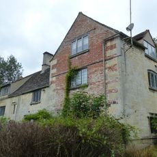
Kings Mill House
1.1 km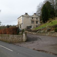
Woodside House
1.3 km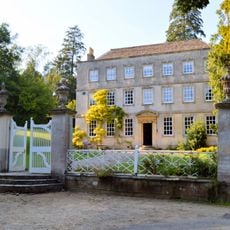
Pitchcombe House
1.6 km
Painswick Mill House
1.3 km
Wragg Castle Farmhouse and stables
1.3 km
Down Farmhouse
1.6 km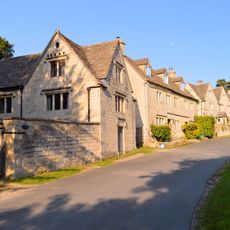
Stables and coach house approximately 30 metres south east of Pitchcombe House
1.6 km
Vatch House
1.4 km
Old Greenhouse Farm, Little Greenhouse, stable block (including Nos.1 and 2 Greenhouse Mews) and Coach House
1.4 km
Slad War Memorial
832 m
The Old House
888 m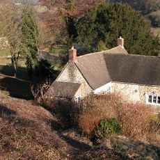
Rose Bank
944 m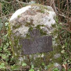
Milestone, Stepping Stone Lane
831 m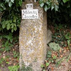
Milestone, Wick Street; 50m N The Malt House
787 m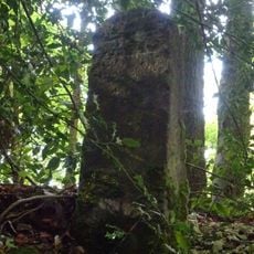
Milestone, by Redding Wood, on restricted byway between Steanbridge Lane & Catswood Lane
1.5 kmAvis
Vous avez visité ce lieu ? Touchez les étoiles pour le noter et partager votre expérience ou vos photos avec la communauté ! Essayez maintenant ! Vous pouvez annuler à tout moment.
Trouvez des trésors cachés à chaque coin de rue !
Des petits cafés pittoresques aux points de vue planqués, fuyez la foule et dénichez les lieux qui vous ressemblent vraiment. Notre app vous facilite la vie : recherche vocale, filtres malins, itinéraires optimisés et bons plans partagés par des voyageurs du monde entier. Téléchargez vite pour vivre l'aventure en version mobile !

Une approche inédite de la découverte touristique❞
— Le Figaro
Tous les lieux qui valent la peine d'être explorés❞
— France Info
Une excursion sur mesure en quelques clics❞
— 20 Minutes