
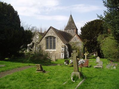
Church of St Paulinus, église britannique
Emplacement : London Borough of Bromley
Coordonnées GPS : 51.40170,0.11753
Dernière mise à jour : 3 mars 2025 à 03:18
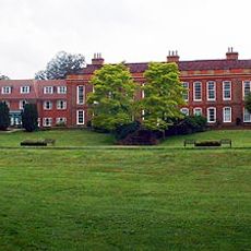
Frognal House
2 km
Ruxley Gravel Pits
925 m
St Botolph's Church, Ruxley
1.6 km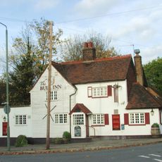
The Bull
191 m
The Warren
1.6 km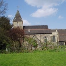
Church of St Mary
748 m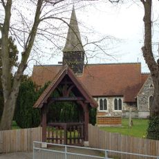
Parish Church of All Saints
2.2 km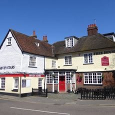
The Seven Stars Public House
1.8 km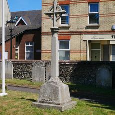
St Mary Cray War Memorial
756 m
Sheffield Monument (In Churchyard Of Parish Church Of St John The Evangelist)
2.6 km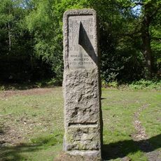
William Willett Memorial
2.4 km
Stable Block To Former Foots Cray Place
2.6 km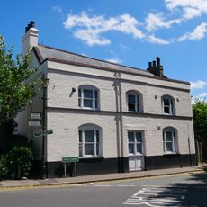
The Blue Anchor Public House
688 m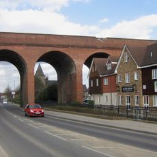
Cray Viaduct
828 m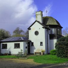
Bowling Pavillion, Foots Cray Place
2.5 km
1-3, Chapmans Lane
162 m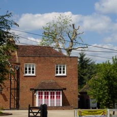
Ruxley Farmhouse
1.6 km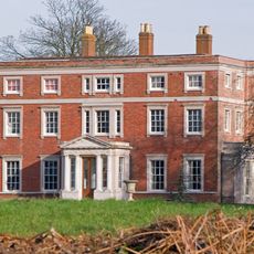
Kevington County Primary School
1.6 km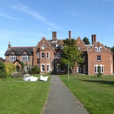
Sidcup Place (Including Ha Ha To East)
2.5 km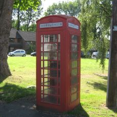
K6 Telephone Kiosk Junction Of Sandy Lane
168 m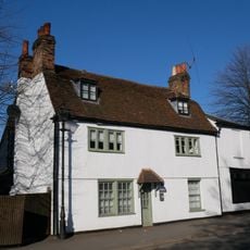
Lime Tree House
674 m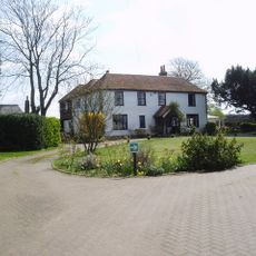
Hockenden House
2 km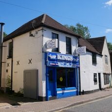
87, High Street
1 km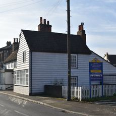
316 And 318, High Street
1.7 km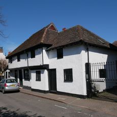
5-9, High Street
714 m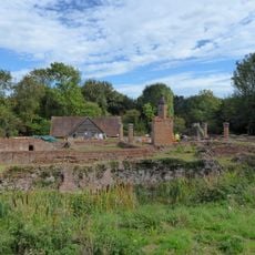
Scadbury Manor moated site and fishponds
1.7 km
4,6,8 And 8A, Kent Road
1.7 km
Milepost, Maidstone Road, Ruxley, E of Glebe Cottages, W of entrance to Manor Farm
1.8 kmAvis
Vous avez visité ce lieu ? Touchez les étoiles pour le noter et partager votre expérience ou vos photos avec la communauté ! Essayez maintenant ! Vous pouvez annuler à tout moment.
Trouvez des trésors cachés à chaque coin de rue !
Des petits cafés pittoresques aux points de vue planqués, fuyez la foule et dénichez les lieux qui vous ressemblent vraiment. Notre app vous facilite la vie : recherche vocale, filtres malins, itinéraires optimisés et bons plans partagés par des voyageurs du monde entier. Téléchargez vite pour vivre l'aventure en version mobile !

Une approche inédite de la découverte touristique❞
— Le Figaro
Tous les lieux qui valent la peine d'être explorés❞
— France Info
Une excursion sur mesure en quelques clics❞
— 20 Minutes