
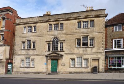
The Chantry, architectural structure in Warminster, Wiltshire, England, UK
Emplacement : Warminster
Coordonnées GPS : 51.20550,-2.18290
Dernière mise à jour : 3 mars 2025 à 06:55
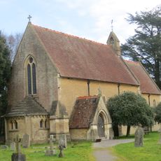
Église Saint-Jean-l'Évangéliste de Warminster
1.3 km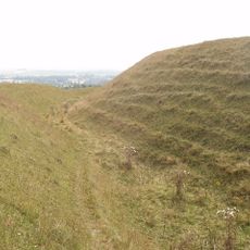
Battlesbury Camp
2.6 km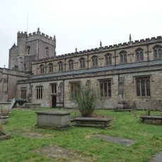
Parish Church of St Denys (the Minster Church)
517 m
Warminster Athenaeum
43 m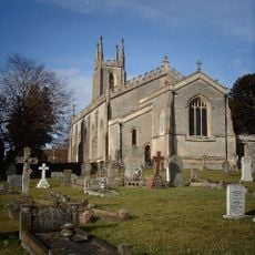
Christ Church, Warminster
654 m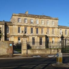
Portway House
203 m
Town Hall
128 m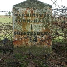
Milestone, Deverill Road; opp. no 124 (farm cottage)
1.6 km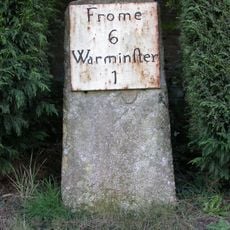
Milestone, Victoria Road, Bugley; by No. 1 Saxons Acre
1.5 km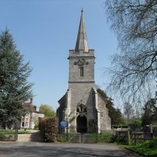
Church of St Aldhelm
2.6 km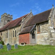
Church of St Mary the Virgin
2.7 km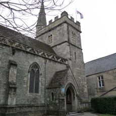
Chapel Of St Lawrence
101 m
The Farmers' Hotel
208 m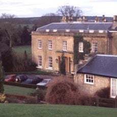
Bishopstrow House Hotel
2.6 km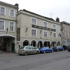
The Old Bell Public House
256 m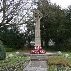
Warminster War Memorial
180 m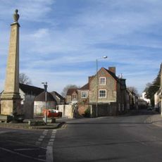
The Obelisk
368 m
Turnpike Cottage
1.2 km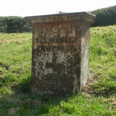
Milestone
1.3 km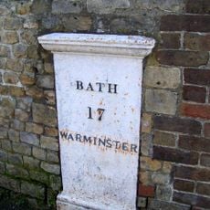
Milestone to north of No 42
427 m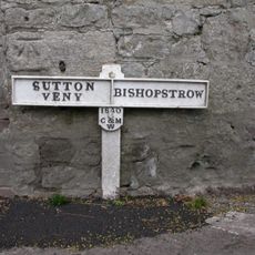
Boundary Post
2.6 km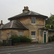
Holly Lodge
1.1 km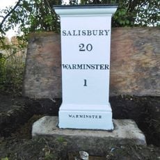
Milestone about 70 yards from turning to Boreham
1.9 km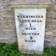
Milestone
1.4 km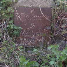
Milestone About 100 Metres South Of Crossroads
2.8 km
Robin Hood's Bower earthwork enclosure in Southleigh Wood
2.9 km
Milestone, Boreham Road; 30m SE jct Bishopstrow Road
1.9 km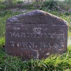
Milestone, Westbury Road; 200m S New Farm
1.2 kmVous avez visité ce lieu ? Touchez les étoiles pour le noter et partager votre expérience ou vos photos avec la communauté ! Essayez maintenant ! Vous pouvez annuler à tout moment.
Trouvez des trésors cachés à chaque coin de rue !
Des petits cafés pittoresques aux points de vue planqués, fuyez la foule et dénichez les lieux qui vous ressemblent vraiment. Notre app vous facilite la vie : recherche vocale, filtres malins, itinéraires optimisés et bons plans partagés par des voyageurs du monde entier. Téléchargez vite pour vivre l'aventure en version mobile !

Une approche inédite de la découverte touristique❞
— Le Figaro
Tous les lieux qui valent la peine d'être explorés❞
— France Info
Une excursion sur mesure en quelques clics❞
— 20 Minutes