
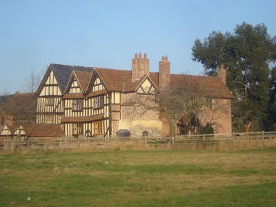
Park Farmhouse, farmhouse in Colwall, Herefordshire, England, UK
Emplacement : Colwall
Coordonnées GPS : 52.07910,-2.38312
Dernière mise à jour : 7 mars 2025 à 08:05
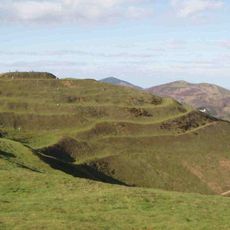
British Camp
3.2 km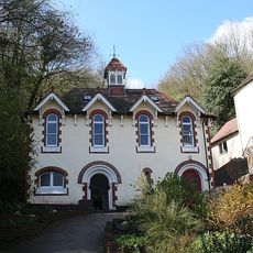
Holy Well, Malvern
3.2 km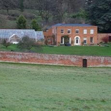
Hope End
1.9 km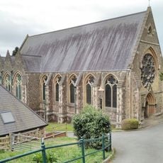
Church of St Wulstan
3.5 km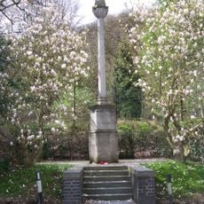
Malvern Wells War Memorial
3.5 km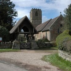
Church of St John the Baptist
3.5 km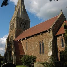
Church of All Saints
2 km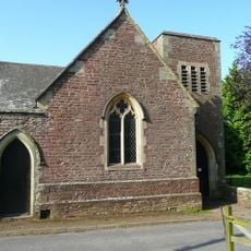
Christ Church
3.2 km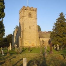
Church of St James
90 m
Bosbury House
3.7 km
Milestone At National Grid Reference So 7323 3963
2.8 km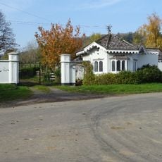
Lower Lodge, Gate-Piers And Gates
1.8 km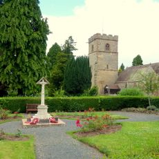
Colwall War Memorial
139 m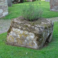
Shaft Base Of Churchyard Cross
3.5 km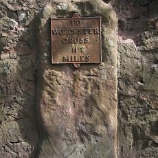
Milestone, north of The Abbey
3.5 km
Herefordshire Beacon Camp
3.3 km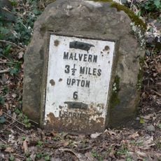
Milestone
3.5 km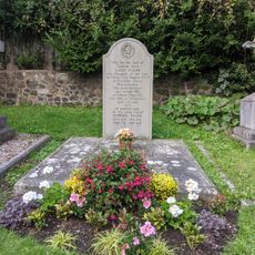
Elgar's Grave, Approximately 20 Metres South Of Church Of St Wulstan
3.5 km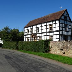
Brook House
3.5 km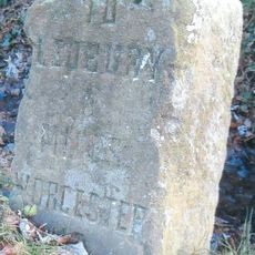
Milestone At So 713447
3.4 km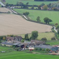
Netherton Farmhouse And Attached Dairy Building At Rear
3.2 km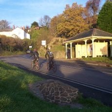
Shelter And Belvedere At Ngr 768436
3.2 km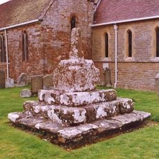
Churchyard Cross
110 m
Milestone, Golf Club; by gate into 121 Wells Road
3.6 km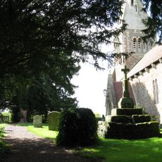
Churchyard Cross
2 km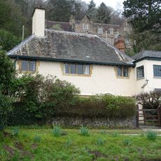
Cob Nash
3.5 km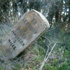
Milestone, Barton Farm; Chances Pitch, E of farm
2.3 km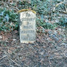
Milestone, N of The Beacon
3.5 kmVous avez visité ce lieu ? Touchez les étoiles pour le noter et partager votre expérience ou vos photos avec la communauté ! Essayez maintenant ! Vous pouvez annuler à tout moment.
Trouvez des trésors cachés à chaque coin de rue !
Des petits cafés pittoresques aux points de vue planqués, fuyez la foule et dénichez les lieux qui vous ressemblent vraiment. Notre app vous facilite la vie : recherche vocale, filtres malins, itinéraires optimisés et bons plans partagés par des voyageurs du monde entier. Téléchargez vite pour vivre l'aventure en version mobile !

Une approche inédite de la découverte touristique❞
— Le Figaro
Tous les lieux qui valent la peine d'être explorés❞
— France Info
Une excursion sur mesure en quelques clics❞
— 20 Minutes