
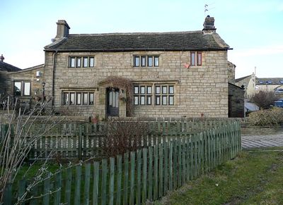
Lower Bailey Fold Farmhouse, farmhouse in Bradford, West Yorkshire, England, UK
Emplacement : Bradford
Coordonnées GPS : 53.80190,-1.83459
Dernière mise à jour : 13 mars 2025 à 08:05
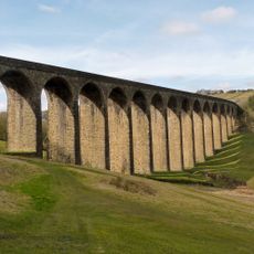
Thornton Viaduct
2 km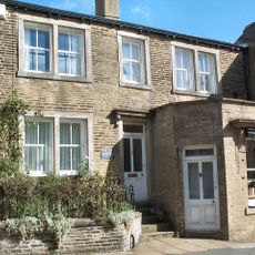
Maison natale des sœurs Brontë
1.5 km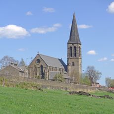
Church of St James
1.3 km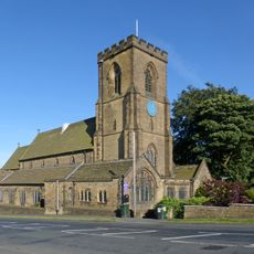
Church of St John the Baptist
2.2 km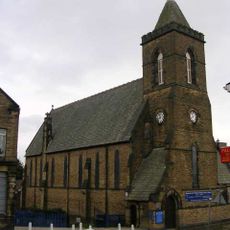
Church of St Peter
1.1 km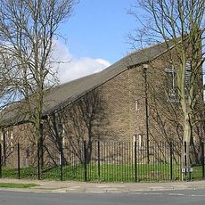
Church of St Saviour
2.4 km
War Memorial in Ladyhill Park
1.3 km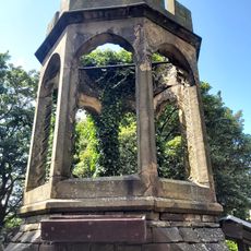
Ruins Of The Chapel Of St James, The Old Bell Chapel
1.4 km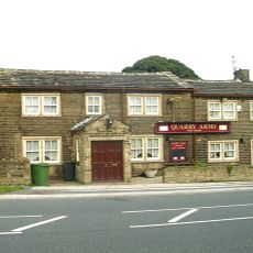
The Quarry Arms Public House
2.3 km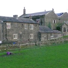
Leventhorpe Hall
1.4 km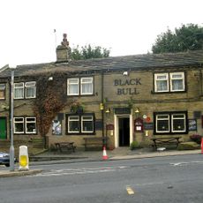
The Black Bull Public House
2.2 km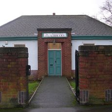
Haworth Road Library
2.3 km
Rialto Cinema
2.5 km
The Towers
2.7 km
Thornton War Memorial
2.4 km
Thornton Library
1.5 km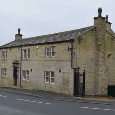
The Queen Public House
2.2 km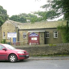
Clayton Library
2.3 km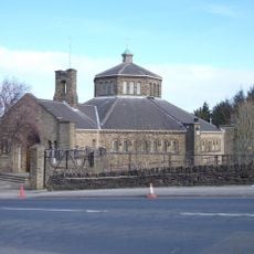
Our Lady And The First Martyrs Catholic Church
2.4 km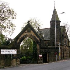
Lady Royd House And Gatelodge (Ladyroyd Junior School)
2.5 km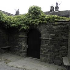
Courtyard Entrance And Walling At Upper Headley Hall
2.2 km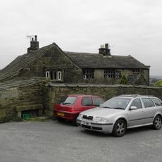
Upper Headley Hall
2.2 km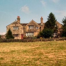
Dean House
327 m
Chimney Stack Of The Former Clayton Fireclay Works Approximately 56 Yards South West Of The Towers
2.7 km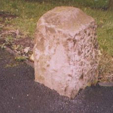
Guidestone, Haworth Road at SE13153545
2.6 km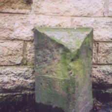
Milestone, Thornton Road; Leaventhorpe, just east of Leaventhorpe Lane
1.4 km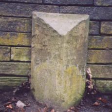
Milestone, Thornton Road; Thornton, west of Green Lane, almost opp. Blue Boar PH
1.5 km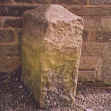
Guidestone, Haworth Road
1.3 kmVous avez visité ce lieu ? Touchez les étoiles pour le noter et partager votre expérience ou vos photos avec la communauté ! Essayez maintenant ! Vous pouvez annuler à tout moment.
Trouvez des trésors cachés à chaque coin de rue !
Des petits cafés pittoresques aux points de vue planqués, fuyez la foule et dénichez les lieux qui vous ressemblent vraiment. Notre app vous facilite la vie : recherche vocale, filtres malins, itinéraires optimisés et bons plans partagés par des voyageurs du monde entier. Téléchargez vite pour vivre l'aventure en version mobile !

Une approche inédite de la découverte touristique❞
— Le Figaro
Tous les lieux qui valent la peine d'être explorés❞
— France Info
Une excursion sur mesure en quelques clics❞
— 20 Minutes