
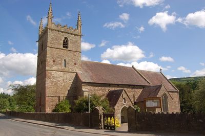
Church of All Saints, church in Forest of Dean, UK
Emplacement : Longhope
Coordonnées GPS : 51.87580,-2.45958
Dernière mise à jour : 5 mars 2025 à 21:47
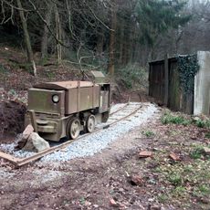
Lea Bailey Light Railway
4 km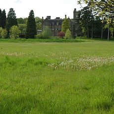
Blaisdon Hall
3.1 km
Hobbs Quarry SSSI, Longhope
1.1 km
Stenders Quarry SSSI
2.9 km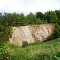
Edgehills Quarry
3.9 km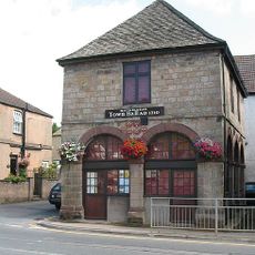
Old Town Hall
2.3 km
Mitcheldean Meend Marsh
4.1 km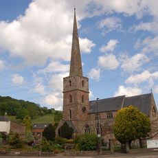
Church of St Michael and All Angels
2.4 km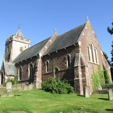
Church of St Michael and All Angels
3.2 km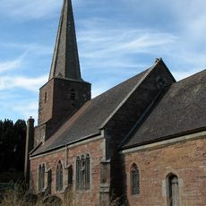
Church of St John the Baptist
3.3 km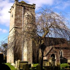
Church of St Michael and All Angels
2.7 km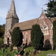
Church of St John the Baptist
2.9 km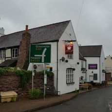
The Crown Inn
3 km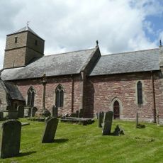
Church of St John the Baptist
3.8 km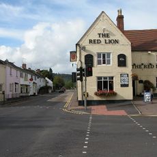
Red Lion
3.7 km
Upper Roxbush
969 m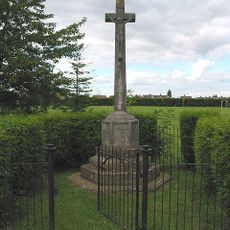
Huntley War Memorial
3.9 km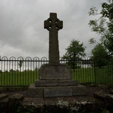
Blaisdon War Memorial
3.3 km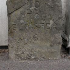
Milestone Against Garden Wall Of Hopebrook
1.2 km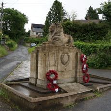
Longhope War Memorial at Junction with Monmouth Road
1.4 km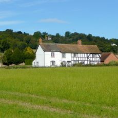
Stanley House
3.3 km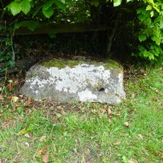
Cross Base
1.4 km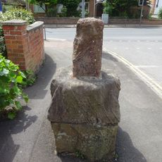
Base To Cross, About 7 Metres North Of Junction With Main Road
3.8 km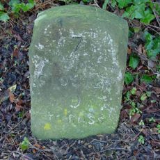
Milestone, About 56 Metres West Of Barn, Huntley Court
3.4 km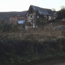
Mill At Gun's Mills
3.9 km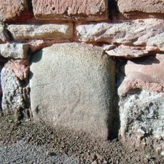
Milestone, Gloucester Road, jct of B4224
2.5 km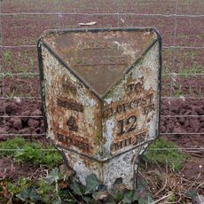
Milepost, 80m S jcn B4224
3.7 km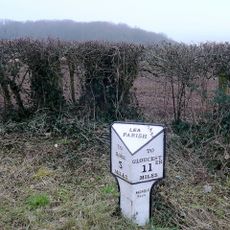
Milepost, Lea Line
2.4 kmVous avez visité ce lieu ? Touchez les étoiles pour le noter et partager votre expérience ou vos photos avec la communauté ! Essayez maintenant ! Vous pouvez annuler à tout moment.
Trouvez des trésors cachés à chaque coin de rue !
Des petits cafés pittoresques aux points de vue planqués, fuyez la foule et dénichez les lieux qui vous ressemblent vraiment. Notre app vous facilite la vie : recherche vocale, filtres malins, itinéraires optimisés et bons plans partagés par des voyageurs du monde entier. Téléchargez vite pour vivre l'aventure en version mobile !

Une approche inédite de la découverte touristique❞
— Le Figaro
Tous les lieux qui valent la peine d'être explorés❞
— France Info
Une excursion sur mesure en quelques clics❞
— 20 Minutes