
Moorside, building in South Tawton, West Devon, England, UK
Emplacement : South Tawton
Coordonnées GPS : 50.72580,-3.91222
Dernière mise à jour : 9 mars 2025 à 06:39

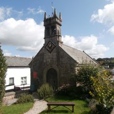
Chapel Of St Mary Including Boundary Walls Adjoining To North West
60 m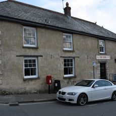
The Stores
40 m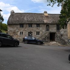
Church House
923 m
The Oxenham Arms
26 m
Buttercup Cottage
31 m
The Post Office
57 m
Shelley Cottage
226 m
Beacon Cottage
132 m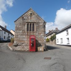
K6 Telephone Kiosk, South Zeal Village Centre
52 m
The Cottage
882 m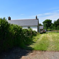
Ford Farmhouse
722 m
Yellands
204 m
The Kings Arms
214 m
Shelley House
214 m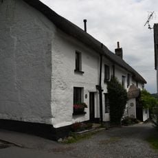
Dibbe Cottage Dibbe House Lower Dibbe Cottage
798 m
Sticklepath Bridge
913 m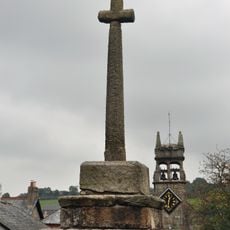
Village Cross
85 m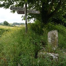
Moons Cross
597 m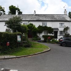
Town Barton
901 m
School And Master's House Including Playground And Garden Walls
94 m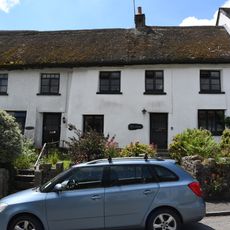
Bracondale Langmead
141 m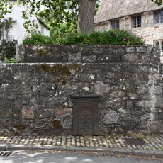
Crosstree Plinth
914 m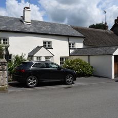
Snowdrops
27 m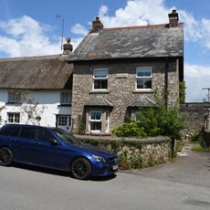
Cawsand View
36 m
Mill House
16 m
Barn Approximately 1.5 Metres North Of Ford Farmhouse
734 m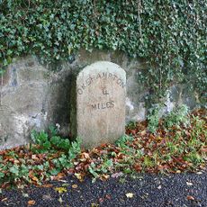
Milestone, by drive of Trafalgar House, S end of Sticklepath
666 m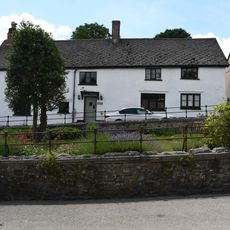
Crossways
82 mVous avez visité ce lieu ? Touchez les étoiles pour le noter et partager votre expérience ou vos photos avec la communauté ! Essayez maintenant ! Vous pouvez annuler à tout moment.
Trouvez des trésors cachés à chaque coin de rue !
Des petits cafés pittoresques aux points de vue planqués, fuyez la foule et dénichez les lieux qui vous ressemblent vraiment. Notre app vous facilite la vie : recherche vocale, filtres malins, itinéraires optimisés et bons plans partagés par des voyageurs du monde entier. Téléchargez vite pour vivre l'aventure en version mobile !

Une approche inédite de la découverte touristique❞
— Le Figaro
Tous les lieux qui valent la peine d'être explorés❞
— France Info
Une excursion sur mesure en quelques clics❞
— 20 Minutes