
The Parish Church of All Saints, église britannique
Emplacement : Iden
Création : 14e siècle
Coordonnées GPS : 50.98130,0.72746
Dernière mise à jour : 3 mars 2025 à 10:51

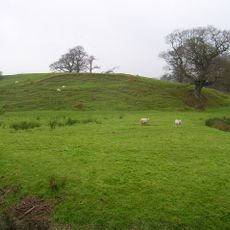
Houghton Green Cliff
2.2 km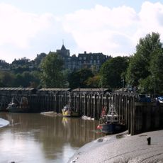
Monk Bretton Bridge
3.2 km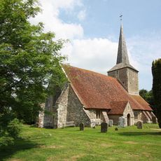
The Parish Church of St Michael
2.1 km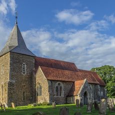
The Parish Church of St Peter and St Paul
3.4 km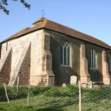
The Parish Church of St Mary
3.1 km
Rye Castle Museum (East Street)
3.4 km
The Cock Inn
3.1 km
The Standard Inn
3.4 km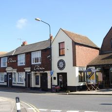
The Crown Inn
3.4 km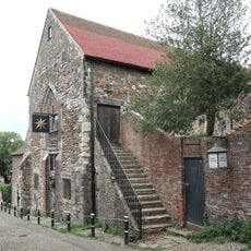
Austin Friars Chapel
3.3 km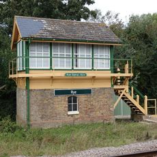
Rye Signal Box
3.2 km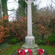
Iden War Memorial
283 m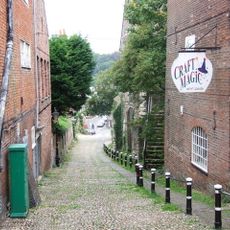
Conduit Hill
3.3 km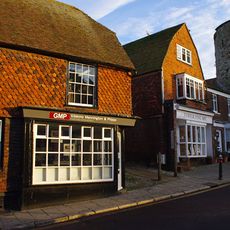
26, Landgate
3.2 km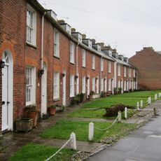
37-67, Military Road
2.9 km
The Old Coach House
3.3 km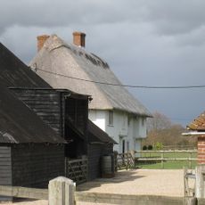
Oxenbridge Farmhouse
824 m
67, High Street
3.4 km
The Mount
3 km
102, High Street
3.4 km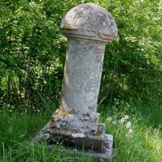
Royal Military Canal, Iden Lock to Kent Ditch
2.6 km
Portion Of The Town Walls To The South Of Cinque Ports Street And West Of Conduit Hill
3.3 km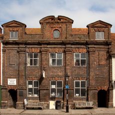
The Old Grammar School
3.4 km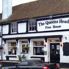
15-24, Landgate
3.2 km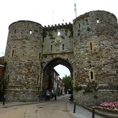
The Landgate
3.2 km
Milestone, Rye Road Hill, opp. Top o' the Hill PH, 25m N of jct with Saltcote Lane
2.4 km
Milestone, Rye Road at TQ8975122482
2.2 km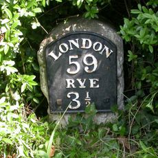
Milestone, Main Street; 80m E jcn Tanhouse Lane
3.2 kmVous avez visité ce lieu ? Touchez les étoiles pour le noter et partager votre expérience ou vos photos avec la communauté ! Essayez maintenant ! Vous pouvez annuler à tout moment.
Trouvez des trésors cachés à chaque coin de rue !
Des petits cafés pittoresques aux points de vue planqués, fuyez la foule et dénichez les lieux qui vous ressemblent vraiment. Notre app vous facilite la vie : recherche vocale, filtres malins, itinéraires optimisés et bons plans partagés par des voyageurs du monde entier. Téléchargez vite pour vivre l'aventure en version mobile !

Une approche inédite de la découverte touristique❞
— Le Figaro
Tous les lieux qui valent la peine d'être explorés❞
— France Info
Une excursion sur mesure en quelques clics❞
— 20 Minutes