
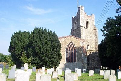
Church of All Saints, église britannique
Emplacement : Holbrook
Coordonnées GPS : 51.98120,1.15908
Dernière mise à jour : 8 mars 2025 à 10:50
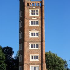
Freston Tower
3.6 km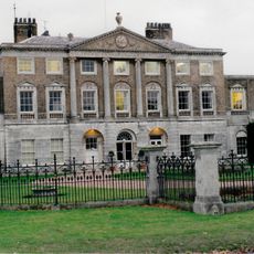
Woolverstone Hall
3.4 km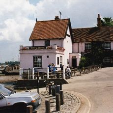
The Butt and Oyster, Pin Mill
4 km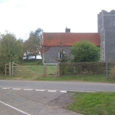
Tattingstone Wonder
3.1 km
Stour Estuary
3.2 km
Freston and Cutler's Woods with Holbrook Park
3.5 km
Oakfield Wood
4.6 km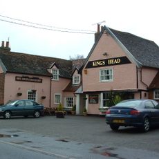
The Kings Head Inn, Stutton
2.5 km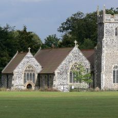
Church of St Michael
3.2 km
Church of St Peter
3.4 km
Church of St Peter, Stutton
1.9 km
Church of St Mary
2.5 km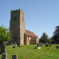
Church of St Mary
3.6 km
Parish Church of All Saints
4.3 km
The White Horse Inn, Tattingstone
4 km
Chapel of the Royal Hospital School
959 m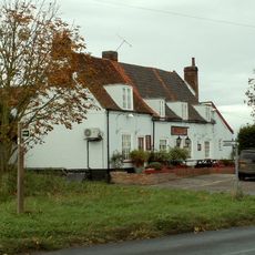
The Boot Inn
3.5 km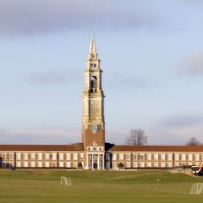
Royal Hospital School, Main Range Including Assembly Hall, Dining Room, Gymnasium, Administration And Teaching Accommodation
1 km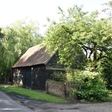
Barn Adjacent To Road And Approximately 10 Metres South Of Pond Hall Farmhouse
3.4 km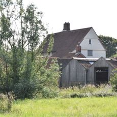
Bond Hall
2.8 km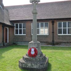
Woolverstone War Memorial in Front of Berners Hall
2.7 km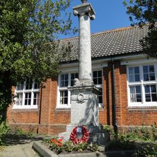
Chelmondiston War Memorial
3.5 km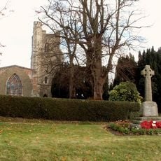
Holbrook War Memorial
48 m
The Walk
3.8 km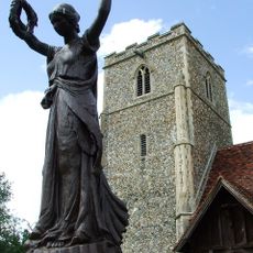
Freston War Memorial
3.4 km
Ayre Lodge
3.4 km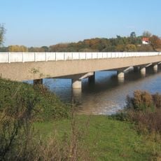
Lemon Hill Bridge
3.6 km
Pond Hall Farmhouse
3.4 kmVous avez visité ce lieu ? Touchez les étoiles pour le noter et partager votre expérience ou vos photos avec la communauté ! Essayez maintenant ! Vous pouvez annuler à tout moment.
Trouvez des trésors cachés à chaque coin de rue !
Des petits cafés pittoresques aux points de vue planqués, fuyez la foule et dénichez les lieux qui vous ressemblent vraiment. Notre app vous facilite la vie : recherche vocale, filtres malins, itinéraires optimisés et bons plans partagés par des voyageurs du monde entier. Téléchargez vite pour vivre l'aventure en version mobile !

Une approche inédite de la découverte touristique❞
— Le Figaro
Tous les lieux qui valent la peine d'être explorés❞
— France Info
Une excursion sur mesure en quelques clics❞
— 20 Minutes