
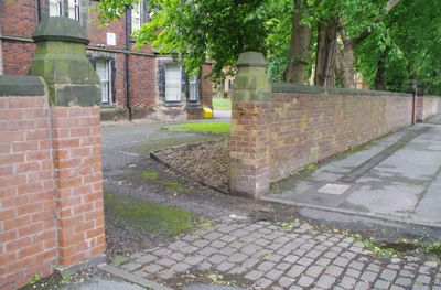
Wall to west of Church of St Elisabeth, Grade II* listed wall in Reddish, Greater Manchester, UK
Emplacement : Stockport
Coordonnées GPS : 53.43850,-2.16382
Dernière mise à jour : 5 mars 2025 à 01:37
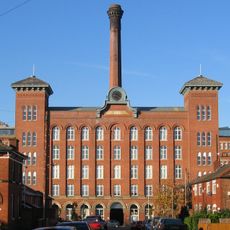
Houldsworth Mill, Reddish
272 m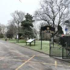
Debdale Park
2.4 km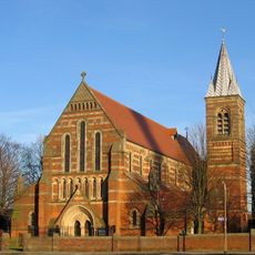
St. Elisabeth's Church
65 m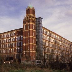
Broadstone Mill, Reddish
477 m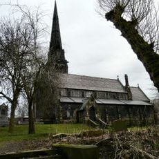
Brookfield Unitarian Church
2.4 km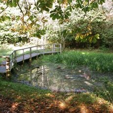
Highfield Country Park
1 km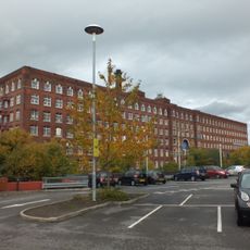
Meadow Mill Including The Tall Wing To The South West
2.4 km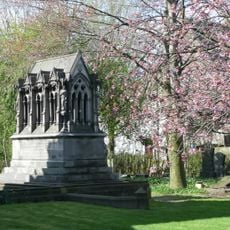
Peacock Mausoleum
2.4 km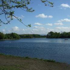
Gorton Reservoirs
2.5 km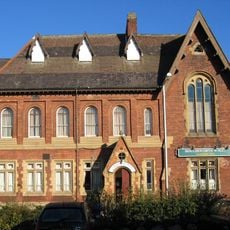
Houldsworth Working Men's Club
433 m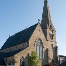
Church of St Peter
2 km
Church of St Mark
1.3 km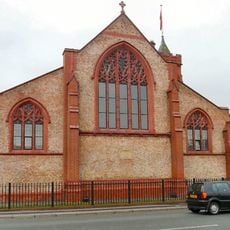
Church of St Andrew
1.5 km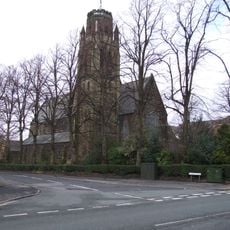
Church of St Paul
2.3 km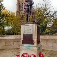
War memorial to front of Church of St Paul
2.3 km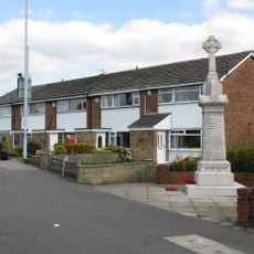
South Reddish War Memorial
1.7 km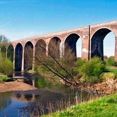
Reddish Viaduct
1.4 km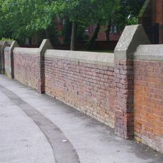
Wall to the west and south of Church of St Elizabeth
94 m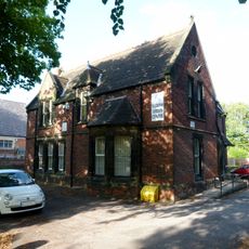
Rectory to Church of St Elisabeth
20 m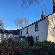
31, Parsonage Road
2.3 km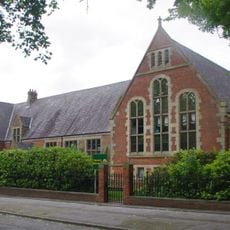
Houldsworth School
63 m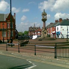
Clock and Drinking Fountain
264 m
Prescott's Almshouses (including associated boundary and garden walls, gateways and gate piers, and outbuildings)
619 m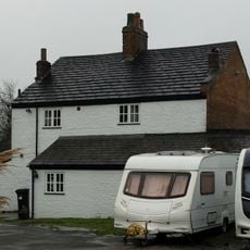
Shores Fold Farmhouse
921 m
Wall to west of Houldsworth School
45 m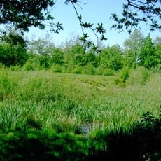
Peel Moat
2 km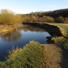
Reddish Vale Country Park
1.2 km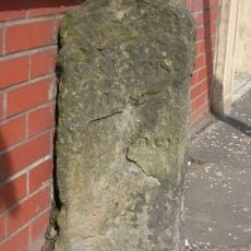
Milestone, Stockport Road, Levenshulme; opp. jcn Cringle Rd by No. 1156
1.5 kmVous avez visité ce lieu ? Touchez les étoiles pour le noter et partager votre expérience ou vos photos avec la communauté ! Essayez maintenant ! Vous pouvez annuler à tout moment.
Trouvez des trésors cachés à chaque coin de rue !
Des petits cafés pittoresques aux points de vue planqués, fuyez la foule et dénichez les lieux qui vous ressemblent vraiment. Notre app vous facilite la vie : recherche vocale, filtres malins, itinéraires optimisés et bons plans partagés par des voyageurs du monde entier. Téléchargez vite pour vivre l'aventure en version mobile !

Une approche inédite de la découverte touristique❞
— Le Figaro
Tous les lieux qui valent la peine d'être explorés❞
— France Info
Une excursion sur mesure en quelques clics❞
— 20 Minutes