
Ram Brewery Complex, architectural structure in London Borough of Wandsworth, Greater London, England, UK
Emplacement : London Borough of Wandsworth
Coordonnées GPS : 51.45720,-0.19287
Dernière mise à jour : 4 mars 2025 à 16:41


Wandsworth Town Hall
128 m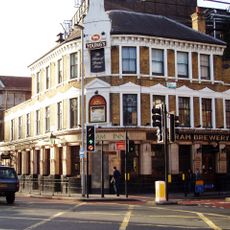
Brewery Tap
27 m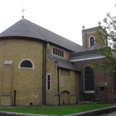
All Saints Church, Wandsworth
180 m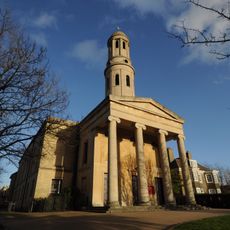
St Anne's Church, Wandsworth
446 m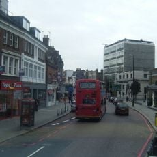
Wandsworth High Street
87 m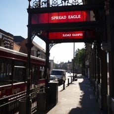
Spread Eagle
77 m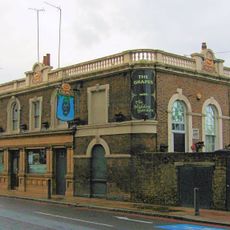
The Grapes
229 m
Church Row, Wandsworth
140 m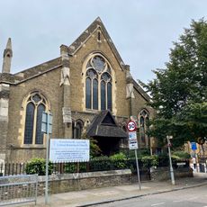
East Hill United Reformed Church
484 m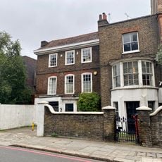
Church Row
154 m
South Thames College
189 m
25 And 27, West Hill Sw18
472 m
140-142, Wandsworth High Street
364 m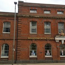
Old County Court House
116 m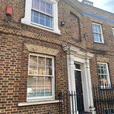
23, West Hill Sw18
462 m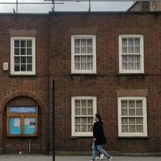
Friends Meeting House
107 m
22 And 24, Putney Bridge Road Sw18
376 m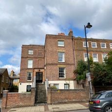
178, East Hill Sw18
321 m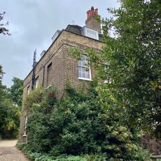
The Elms
313 m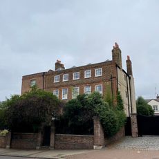
174 And 176, East Hill, Sw18
333 m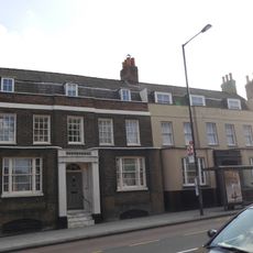
29 And 31, West Hill Sw18
481 m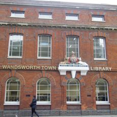
Wandsworth Town Library
116 m
Wentworth House With Forecourt Wall, Gate And Gatepiers
243 m
33, West Hill Sw18
505 m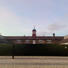
Stables At Ram (Youngs) Brewery Complex
163 m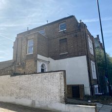
35 And 37, West Hill Sw18
518 m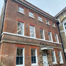
70, Wandsworth High Street Sw18
37 m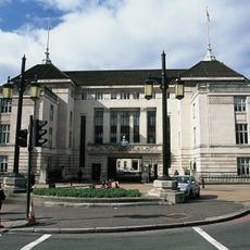
Lamp Standards Outside Wandsworth Town Hall
205 mAvis
Vous avez visité ce lieu ? Touchez les étoiles pour le noter et partager votre expérience ou vos photos avec la communauté ! Essayez maintenant ! Vous pouvez annuler à tout moment.
Trouvez des trésors cachés à chaque coin de rue !
Des petits cafés pittoresques aux points de vue planqués, fuyez la foule et dénichez les lieux qui vous ressemblent vraiment. Notre app vous facilite la vie : recherche vocale, filtres malins, itinéraires optimisés et bons plans partagés par des voyageurs du monde entier. Téléchargez vite pour vivre l'aventure en version mobile !

Une approche inédite de la découverte touristique❞
— Le Figaro
Tous les lieux qui valent la peine d'être explorés❞
— France Info
Une excursion sur mesure en quelques clics❞
— 20 Minutes