
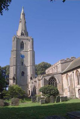
Church of St Mary and the Holy Rood, church in Donington, Lincolnshire, England, UK
Emplacement : Donington
Création : 13e siècle
Coordonnées GPS : 52.90730,-0.20488
Dernière mise à jour : 7 mars 2025 à 17:04
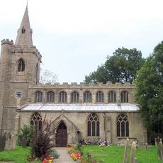
Church of St Peter and St Paul
5.5 km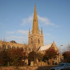
Church of St Peter and St Paul
5.1 km
Church of St Mary
5.2 km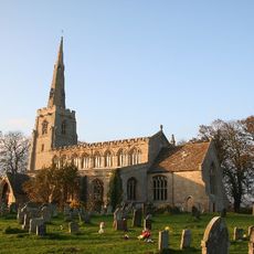
Church of St Margaret
2.4 km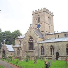
Church of St Swithin
2.5 km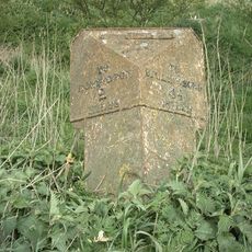
Milepost At Chapel Bridge
3.3 km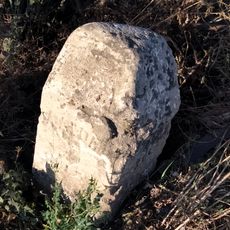
Milestone Opposite Baptist Church
5.8 km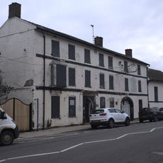
Red Cow Hotel
243 m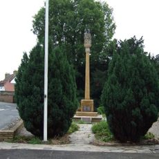
Gosberton War Memorial
5.4 km
Swineshead War Memorial
5.2 km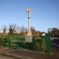
Bicker War Memorial
2.5 km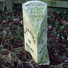
Mile Post South Of Old Junction With A52
4.4 km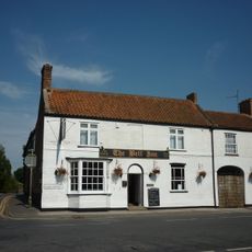
The Bell
5.1 km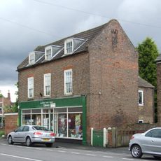
Donington Community Hub Library
322 m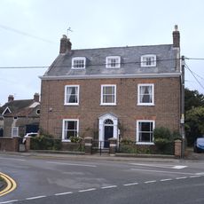
St Heliers'
228 m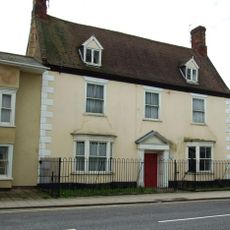
The Peacock Guest House
263 m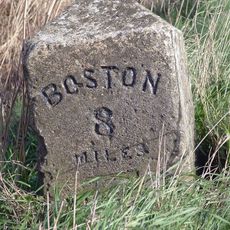
Milepost South Of Green Lane
5.9 km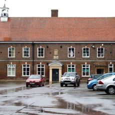
Old School Building At Cowleys School
440 m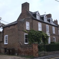
Town Farm House
183 m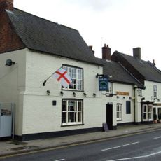
The Black Bull
278 m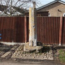
Stump Cross
4.9 km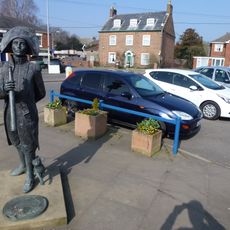
Matthew Flinders
254 m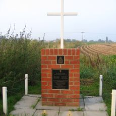
No. 635 Squadron RAF Crash Memorial, Bicker
2 km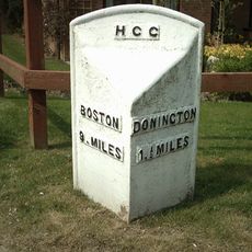
Milepost, Donington Road, outside Maple House
2.2 km
2, Wargate Way
5.3 km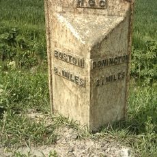
Milepost, Donington Road, near Bar Farm
3.7 km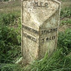
Milepost, Quadring Road, by No 93
4.2 km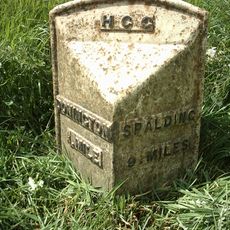
Milepost, Quadring Road, by No. 93
1.3 kmVous avez visité ce lieu ? Touchez les étoiles pour le noter et partager votre expérience ou vos photos avec la communauté ! Essayez maintenant ! Vous pouvez annuler à tout moment.
Trouvez des trésors cachés à chaque coin de rue !
Des petits cafés pittoresques aux points de vue planqués, fuyez la foule et dénichez les lieux qui vous ressemblent vraiment. Notre app vous facilite la vie : recherche vocale, filtres malins, itinéraires optimisés et bons plans partagés par des voyageurs du monde entier. Téléchargez vite pour vivre l'aventure en version mobile !

Une approche inédite de la découverte touristique❞
— Le Figaro
Tous les lieux qui valent la peine d'être explorés❞
— France Info
Une excursion sur mesure en quelques clics❞
— 20 Minutes