
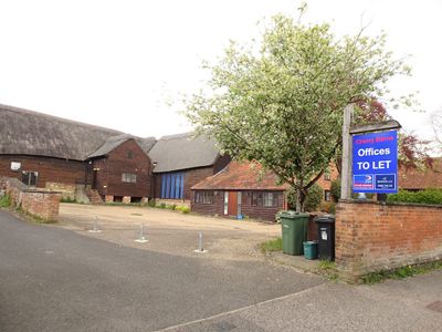
Cherry Barn and attached outbuildings, Grade II* listed buildings in Harwell, Oxfordshire
Emplacement : Harwell
Coordonnées GPS : 51.60080,-1.29116
Dernière mise à jour : 11 mars 2025 à 14:57
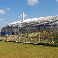
Harwell Synchrocyclotron
2.6 km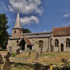
Church of All Saints
3 km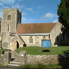
Church of St Matthew
342 m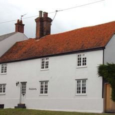
The Old Brewery And Showrooms
128 m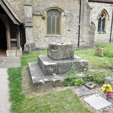
Cross south of Church of All Saints
3 km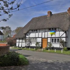
York Farm Cottage
2.6 km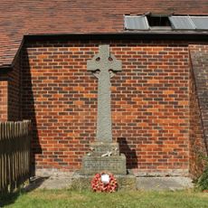
Northbourne War Memorial
3.1 km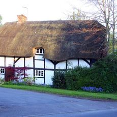
Thatch Cottage
2.7 km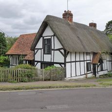
Church Rooms Rectory Cottages
3 km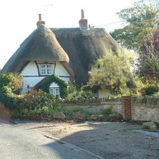
Cottage approximately 35 metres south west of Blissets
2.7 km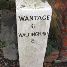
Milestone At Su 4913 8912
239 m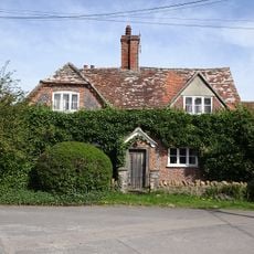
Ivy Farmhouse
2.7 km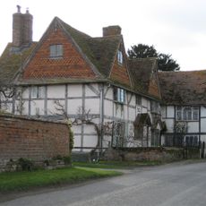
Coscote Manor And Yew Tree Famhouse And Attached Wall
2.6 km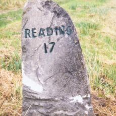
Milestone At Su 5041 8770
2 km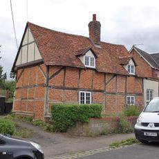
125, Lydalls Road
3.1 km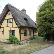
The Dell
289 m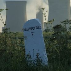
Milestone At Su 5065 8967
1.5 km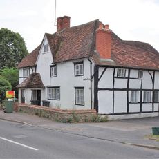
Smiths Farmhouse and attached walls
2.8 km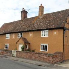
Rosemead
432 m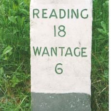
Milestone At Su 4921 8867
671 m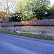
Cob wall attached to south of Wycherts
2.7 km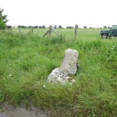
Coscote village cross
2.6 km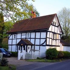
Wycherts
2.7 km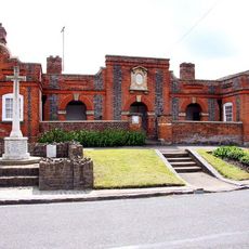
Geering's Almshouses And Attached Walls And Gate
181 m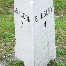
Milestone At Su 4825 8722
2.3 km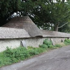
Cob Wall And Attached Outbuilding, Approximately 50 Metres South Of Prince's Manor Farmhouse
443 m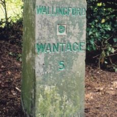
Milestone, Reading Road; W of Rowstock Corner
1.5 km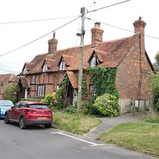
29 and 31, Manor Road
3 kmVous avez visité ce lieu ? Touchez les étoiles pour le noter et partager votre expérience ou vos photos avec la communauté ! Essayez maintenant ! Vous pouvez annuler à tout moment.
Trouvez des trésors cachés à chaque coin de rue !
Des petits cafés pittoresques aux points de vue planqués, fuyez la foule et dénichez les lieux qui vous ressemblent vraiment. Notre app vous facilite la vie : recherche vocale, filtres malins, itinéraires optimisés et bons plans partagés par des voyageurs du monde entier. Téléchargez vite pour vivre l'aventure en version mobile !

Une approche inédite de la découverte touristique❞
— Le Figaro
Tous les lieux qui valent la peine d'être explorés❞
— France Info
Une excursion sur mesure en quelques clics❞
— 20 Minutes