
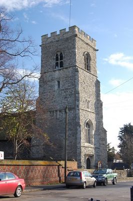
Church of St Michael, église britannique
Emplacement : Thurrock
Création : 11e siècle
Coordonnées GPS : 51.52790,0.47528
Dernière mise à jour : 3 mars 2025 à 02:45
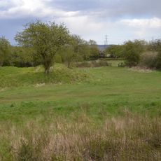
Wat Tyler Country Park
3 km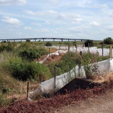
Canvey Wick
4.3 km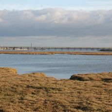
Lower Horse
4.3 km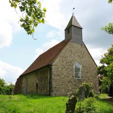
All Saints Church, Vange
2.8 km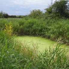
Stanford Warren
4.1 km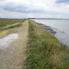
Mucking Flats and Marshes
4 km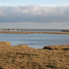
Holehaven Creek
3.4 km
Vange and Fobbing Marshes
1.3 km
Basildon Meadows
3 km
Fobbing Marsh
1.5 km
Pitsea Marsh
3.8 km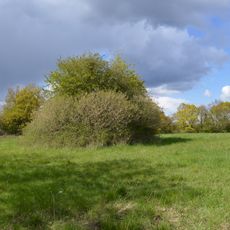
Vange Hill
3.8 km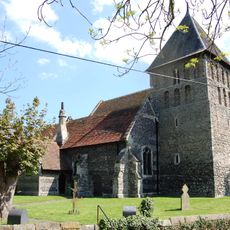
Church of St Mary
1 km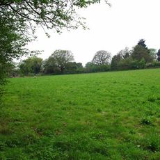
Horndon Meadow
4.7 km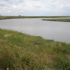
Mucking Creek
3.7 km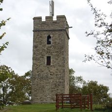
Church of St Michael
4.4 km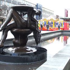
Mother and Child fountain
4.9 km
Church of St Margaret of Antioch, Stanford-le-Hope
3.7 km
Church of St John the Baptist
4.3 km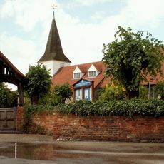
Church of St Peter and St Paul
4.9 km
Bell Inn
4.8 km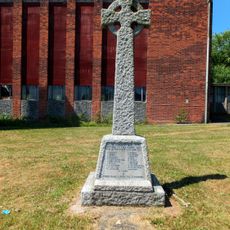
Vange War Memorial
3.7 km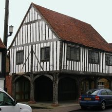
Old Market Hall
4.8 km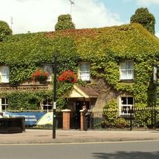
Inn On The Green
3.7 km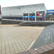
Retaining Walls, Ramp, Steps, Staircases, Bench And Raised Paving
4.9 km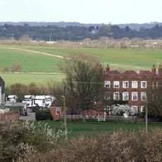
Arden Hall
4.3 km
Brooke House
4.9 km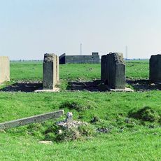
World War II bombing decoy on Fobbing Marshes, 1.11km and 1.15km north west of Oozedam
1.2 kmVous avez visité ce lieu ? Touchez les étoiles pour le noter et partager votre expérience ou vos photos avec la communauté ! Essayez maintenant ! Vous pouvez annuler à tout moment.
Trouvez des trésors cachés à chaque coin de rue !
Des petits cafés pittoresques aux points de vue planqués, fuyez la foule et dénichez les lieux qui vous ressemblent vraiment. Notre app vous facilite la vie : recherche vocale, filtres malins, itinéraires optimisés et bons plans partagés par des voyageurs du monde entier. Téléchargez vite pour vivre l'aventure en version mobile !

Une approche inédite de la découverte touristique❞
— Le Figaro
Tous les lieux qui valent la peine d'être explorés❞
— France Info
Une excursion sur mesure en quelques clics❞
— 20 Minutes