
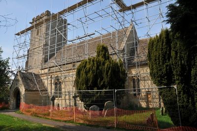
Church of the Holy Cross, Ashton Keynes, church in Ashton Keynes, UK
Emplacement : Ashton Keynes
Coordonnées GPS : 51.64830,-1.94113
Dernière mise à jour : 7 mars 2025 à 02:47
Cotswold Water Park
1.2 km
Ashton Keynes Castle
735 m
Church of All Hallows
3.1 km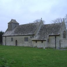
All Saints Church, Leigh
3 km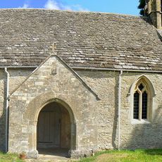
All Saints Church, Shorncote
2.9 km
Elmlea Meadows
3.8 km
Wildmoorway Meadows
3.9 km
Church of All Saints
2.8 km
Church of Holy Trinity
3.8 km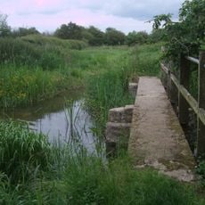
Unnamed footbridge
1.6 km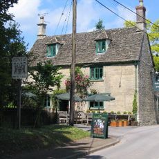
The Bakers Arms
2.5 km
Bridge on The Derry
961 m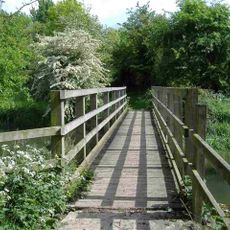
Stones Lane footbridge
3.8 km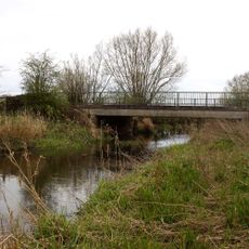
Waterhay bridge
2.2 km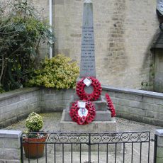
Minety War Memorial
4 km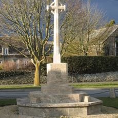
South Cerney War Memorial
2.6 km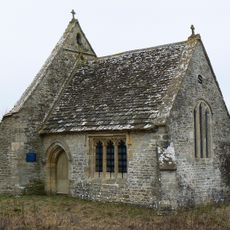
Leigh All Saints Old Chancel
2.3 km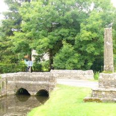
Medieval cross immediately south of Gumstool Bridge
403 m
Former Road Bridge On Dismantled Railway
2.9 km
Leigh War Memorial
3 km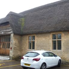
Village Hall
2.9 km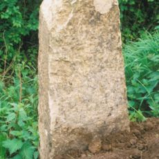
Milestone At Calowe Hill
3.2 km
Radnor
2.6 km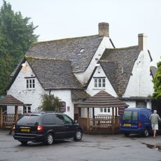
The Old George
2.9 km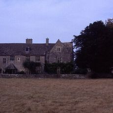
Manor House
2.8 km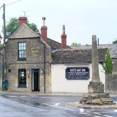
Medieval village cross at the junction of Park Place and the High Road 210m south of Gumstool Bridge
543 m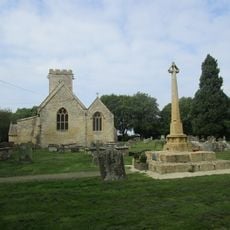
Medieval cross 40m east of Holy Cross Church
40 m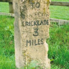
Milestone, Minety Road; Calowe Hill, in front of Brookdeen House by drive to Leighfield Lodge Farm
3.5 kmVous avez visité ce lieu ? Touchez les étoiles pour le noter et partager votre expérience ou vos photos avec la communauté ! Essayez maintenant ! Vous pouvez annuler à tout moment.
Trouvez des trésors cachés à chaque coin de rue !
Des petits cafés pittoresques aux points de vue planqués, fuyez la foule et dénichez les lieux qui vous ressemblent vraiment. Notre app vous facilite la vie : recherche vocale, filtres malins, itinéraires optimisés et bons plans partagés par des voyageurs du monde entier. Téléchargez vite pour vivre l'aventure en version mobile !

Une approche inédite de la découverte touristique❞
— Le Figaro
Tous les lieux qui valent la peine d'être explorés❞
— France Info
Une excursion sur mesure en quelques clics❞
— 20 Minutes