
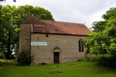
Church of St Giles, église britannique
Emplacement : Water Stratford
Coordonnées GPS : 52.00330,-1.05206
Dernière mise à jour : 5 mars 2025 à 15:01
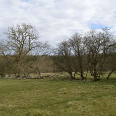
Tingewick Meadows
3 km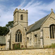
Church of St Mary Magdalen
1.4 km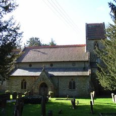
Church of St Augustine
3.2 km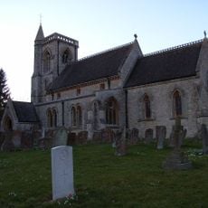
Church of St Edward
2.4 km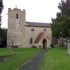
Church of St Michael
1.9 km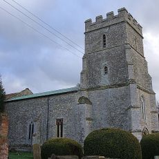
Church of St John
2.4 km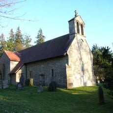
Church of St James
3.6 km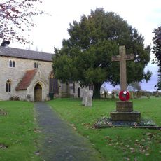
Finmere War Memorial in Churchyard of Church of St Michael and All Angels
1.9 km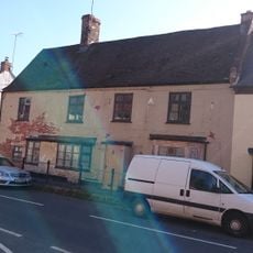
The Crown
1.5 km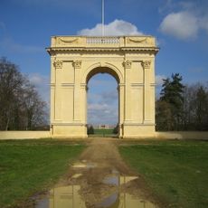
Corinthian Arch
3.5 km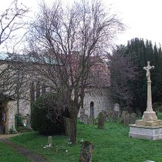
Radclive-cum-Chackmore War Memorial
2.4 km
Radclive Bridge
2.7 km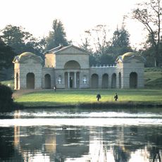
The Temple Of Venus
3.3 km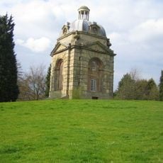
The Boycott Pavilions
3.2 km
The Oxford Bridge
2.9 km
The Hermitage
3.5 km
Sunday School And Cottage To West
1.5 km
Queen Carolines Monument
3.3 km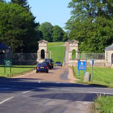
The Oxford Gate, Gate Piers And Lodges
2.8 km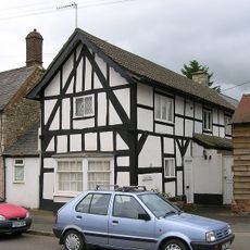
Durrants
1.6 km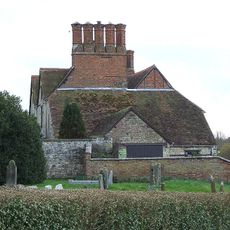
Radclive Manor
2.4 km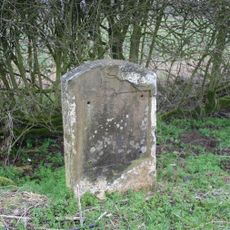
Milestone, Brackley Road; N of crossroads to Radclive and Manor Farm Buildings
2.3 km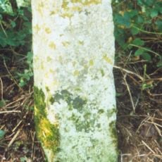
Milestone, W edge of Finmere Village, opp. boundary fence of school
2.1 km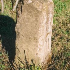
Milestone, old railway bridge, Mixbury Plantation, near turn to Widmore Farm
3.3 km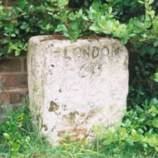
Milestone, Main Street; by The Hollies, W end of village
1.4 km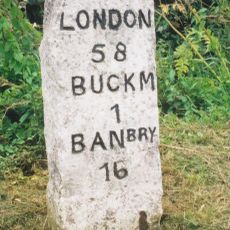
Milestone, Tingewick Road; opp. Field House Day Nursery
3.4 km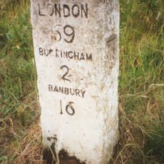
Milestone, Tingewick Road; by lane to Grovehill Farm, Dudley Bridge
2 km
Milestone, Brackley Road; half mile E of Westbury village
2.9 kmVous avez visité ce lieu ? Touchez les étoiles pour le noter et partager votre expérience ou vos photos avec la communauté ! Essayez maintenant ! Vous pouvez annuler à tout moment.
Trouvez des trésors cachés à chaque coin de rue !
Des petits cafés pittoresques aux points de vue planqués, fuyez la foule et dénichez les lieux qui vous ressemblent vraiment. Notre app vous facilite la vie : recherche vocale, filtres malins, itinéraires optimisés et bons plans partagés par des voyageurs du monde entier. Téléchargez vite pour vivre l'aventure en version mobile !

Une approche inédite de la découverte touristique❞
— Le Figaro
Tous les lieux qui valent la peine d'être explorés❞
— France Info
Une excursion sur mesure en quelques clics❞
— 20 Minutes