
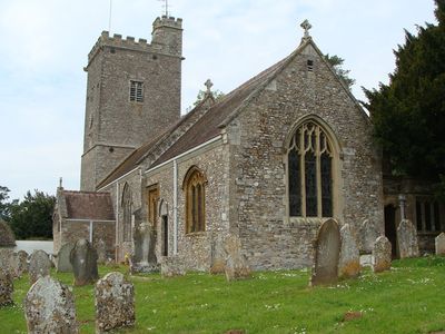
Church of St Mary, église britannique
Emplacement : Payhembury
Création : 15e siècle
Coordonnées GPS : 50.80850,-3.29477
Dernière mise à jour : 4 mars 2025 à 03:28
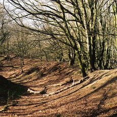
Hembury
2.7 km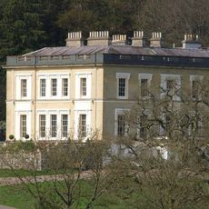
Escot House
3.7 km
Church of St James
3 km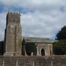
Church of St John the Baptist
3.8 km
Church of St Andrew
3.1 km
Church of St Andrew
3.2 km
Church of St Mary and St Giles
3.7 km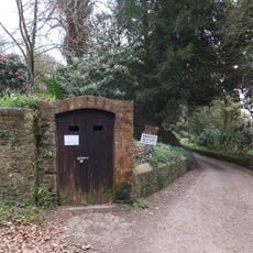
Ice House South West Of Escot Park
3.8 km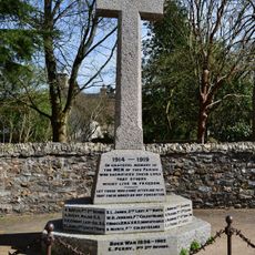
Broadhembury Parish Memorial Cross
3.2 km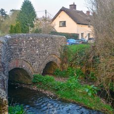
Bridge Over The River Tale South Of Bridge House
3.3 km
Kitchen Garden Walls Approximately 220 Metres West Of Escot
3.9 km
Stoney Court
3.1 km
Grange
2.5 km
The Old Rectory
3.8 km
Farrants Hayes Farmhouse Including Courtyard Of Farmbuildings Adjoining To North
3.9 km
Uplands
2.3 km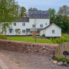
Tuck Mill
1.2 km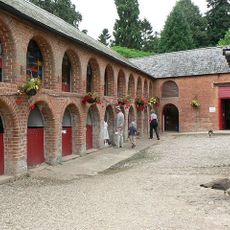
Coach House, Stables And Servant Cottages Approximately 140 Metres South West Of Escot
3.9 km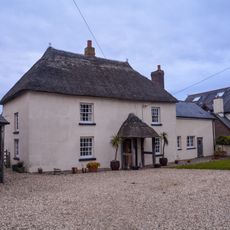
Lees Farmhouse
3.1 km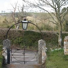
Churchyard Wall And 2 Pairs Of Gates
3.7 km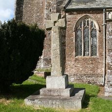
Churchyard Cross
3.9 km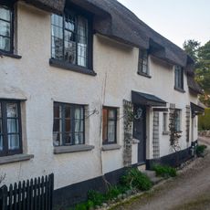
Engelwood Firs
3.3 km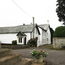
The Old Sunday School
3.8 km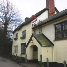
The Drewe Arms Including Curved Wall Adjoining At North West
3.2 km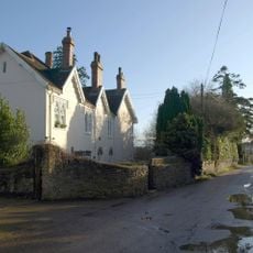
Buckerell House
3.6 km
Harris's Farmhouse
2.9 km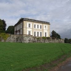
Terrace Walls And Steps Adjoining To South Of Escot
3.8 km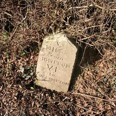
Milestone, E of Colliton Cross, before jct with Wilderness Lane
1.9 kmVous avez visité ce lieu ? Touchez les étoiles pour le noter et partager votre expérience ou vos photos avec la communauté ! Essayez maintenant ! Vous pouvez annuler à tout moment.
Trouvez des trésors cachés à chaque coin de rue !
Des petits cafés pittoresques aux points de vue planqués, fuyez la foule et dénichez les lieux qui vous ressemblent vraiment. Notre app vous facilite la vie : recherche vocale, filtres malins, itinéraires optimisés et bons plans partagés par des voyageurs du monde entier. Téléchargez vite pour vivre l'aventure en version mobile !

Une approche inédite de la découverte touristique❞
— Le Figaro
Tous les lieux qui valent la peine d'être explorés❞
— France Info
Une excursion sur mesure en quelques clics❞
— 20 Minutes