
Peper Harow House, Grade I listed building in the United Kingdom
Emplacement : Peper Harow
Coordonnées GPS : 51.18690,-0.66257
Dernière mise à jour : 9 mars 2025 à 05:37

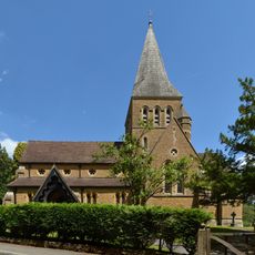
Church of St Mary
1.1 km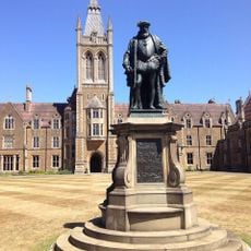
Statue of Thomas Sutton
2.9 km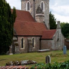
Church of St Nicholas
176 m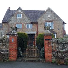
Rodsall Manor House
2.4 km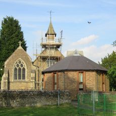
St John the Evangelist's Church
2.2 km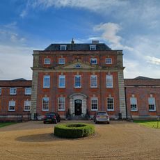
Milford House Hotel
2.3 km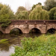
Elstead Bridge
3 km
Dovecot In The Grounds Of The Refectory
2.3 km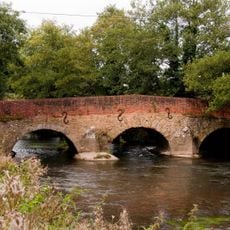
Somerset Bridge
1.4 km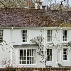
Sattenham House
3.1 km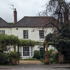
The Red House
2.2 km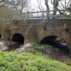
Eashing Bridges
1.1 km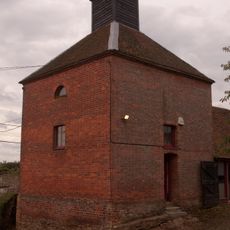
Dovecot And Granary To South West Of Home Farm Courtyard
265 m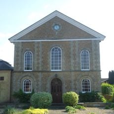
United Reformed Church and Attached Graveyard Wall with Gatepiers and Railings
2.6 km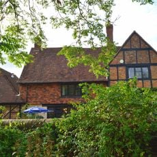
British Legion Clubhouse
3 km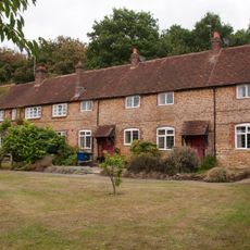
Home Farm Cottages With Stables To Left And Buildings To East
290 m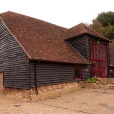
Barn To North West Corner Of Home Farm Courtyard
314 m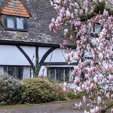
The Square
2.3 km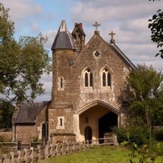
Oxenford Gate Lodge
786 m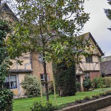
Old Hurst
2.2 km
The Old House
2.2 km
Barn 30 Metres East Of Sattenham House
3.1 km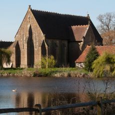
Barn At Oxenford Grange
783 m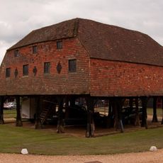
Granary At Home Farm
276 m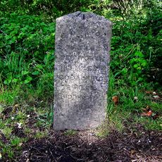
Milestone, Petworth Road, jct with Oxted Green, Milford, in lay-by
2.9 km
Milestone, Cranhurst, Milford, nr cemetery
2.6 km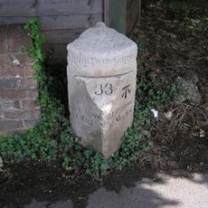
Milestone, Portsmouth Road, opp The Refectory PH
2.3 km
Milestone, Portsmouth Road, Milford, southbound sliproad, W of the entrance to Rodborough Common car park
2.2 kmVous avez visité ce lieu ? Touchez les étoiles pour le noter et partager votre expérience ou vos photos avec la communauté ! Essayez maintenant ! Vous pouvez annuler à tout moment.
Trouvez des trésors cachés à chaque coin de rue !
Des petits cafés pittoresques aux points de vue planqués, fuyez la foule et dénichez les lieux qui vous ressemblent vraiment. Notre app vous facilite la vie : recherche vocale, filtres malins, itinéraires optimisés et bons plans partagés par des voyageurs du monde entier. Téléchargez vite pour vivre l'aventure en version mobile !

Une approche inédite de la découverte touristique❞
— Le Figaro
Tous les lieux qui valent la peine d'être explorés❞
— France Info
Une excursion sur mesure en quelques clics❞
— 20 Minutes