
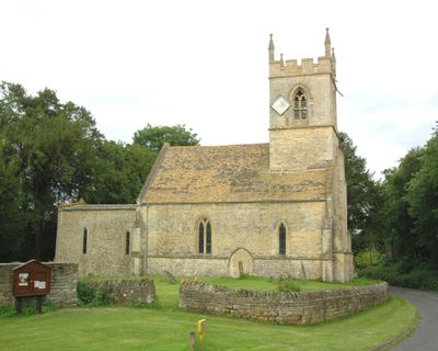
Church of the Holy Rood, Woodeaton, église britannique
Emplacement : Woodeaton
Création : 13e siècle
Coordonnées GPS : 51.80320,-1.22567
Dernière mise à jour : 29 mars 2025 à 15:34
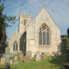
St Nicholas' Church, Islip
2.3 km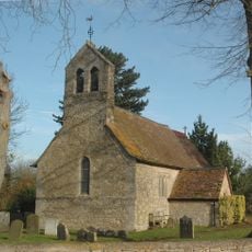
Church of St Giles
1.6 km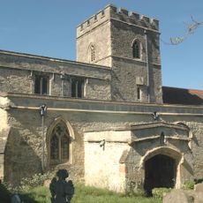
Church of the Assumption of the Blessed Virgin Mary
2.8 km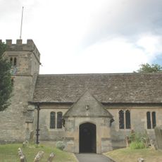
Church of St Nicholas
3.1 km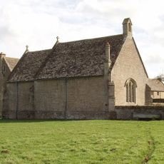
Chapel At Water Eaton Manor House
1.9 km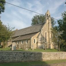
Church of St Thomas A Beckett
2 km
566, Banbury Road
3.3 km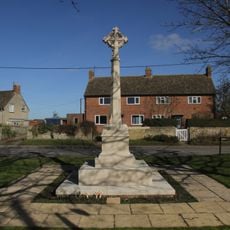
Islip (Oxfordshire) War Memorial
2.5 km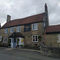
The Abingdon Arms Public House
3.1 km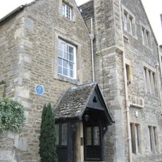
Manor House
1.8 km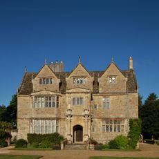
Manor House
1.9 km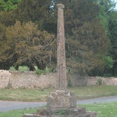
Woodeaton Cross
56 m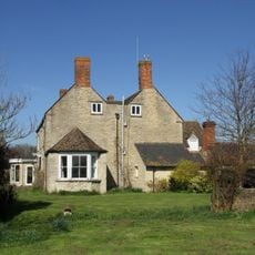
Northfield Farmhouse
2.3 km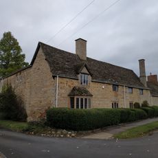
Alan Court
3.1 km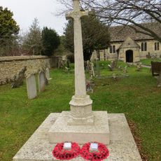
Old Marston War Memorial
3.2 km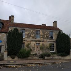
Manor House And Attached Front Wall
3.1 km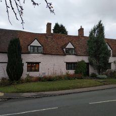
Cross Farmhouse
3.2 km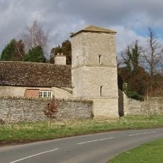
Manor House, Water Tower, Workshops And Attached Walls Approximately 70 Metres To South East
64 m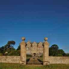
Gateway Approximately 30 Metres East Of Water Eaton Manor House
1.9 km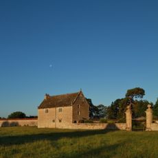
South Pavilion And Attached Walls Approximately 40 Metres East Of The Manorhouse
1.9 km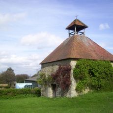
Home Farmhouse, Dovecote Approximately 80 Metres To East
1.9 km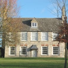
Home Farmhouse
1.9 km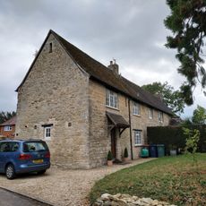
Long Farm
3.2 km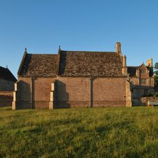
North Pavilion And Attached Walls Approximately 40 Metres North East Of The Manorhouse
1.9 km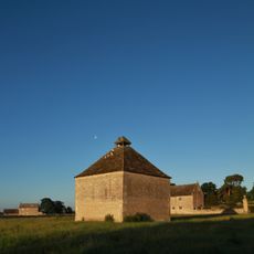
Dovecote Approximately 80 Metres East Of The Manorhouse
1.9 km
Church Farmhouse
3 km
Cromwells House
3.1 km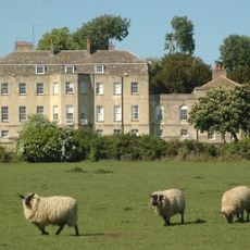
Manor House
140 mVous avez visité ce lieu ? Touchez les étoiles pour le noter et partager votre expérience ou vos photos avec la communauté ! Essayez maintenant ! Vous pouvez annuler à tout moment.
Trouvez des trésors cachés à chaque coin de rue !
Des petits cafés pittoresques aux points de vue planqués, fuyez la foule et dénichez les lieux qui vous ressemblent vraiment. Notre app vous facilite la vie : recherche vocale, filtres malins, itinéraires optimisés et bons plans partagés par des voyageurs du monde entier. Téléchargez vite pour vivre l'aventure en version mobile !

Une approche inédite de la découverte touristique❞
— Le Figaro
Tous les lieux qui valent la peine d'être explorés❞
— France Info
Une excursion sur mesure en quelques clics❞
— 20 Minutes