
Hill and Moor, civil parish in Worcestershire, United Kingdom
Emplacement : Wychavon
Coordonnées GPS : 52.12579,-2.03256
Dernière mise à jour : 30 avril 2025 à 21:35
Wood Norton
3.8 km
Cropthorne New Inn Section
3.7 km
Church of St John the Baptist
2.1 km
Church of St Michael
3.2 km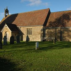
Church of St Nicholas
2.6 km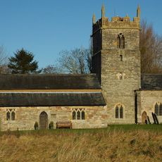
Parish Church
2.4 km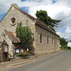
Church of St John the Evangelist
3.6 km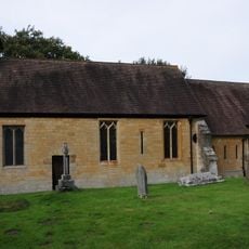
Church of St Mary
2.7 km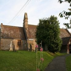
Church of St Anne
1.7 km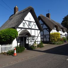
The Old Post Office
3.2 km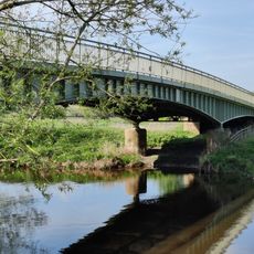
Jubilee Bridge
2.9 km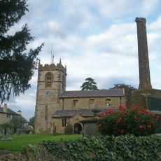
Cropthorne War Memorial
3.2 km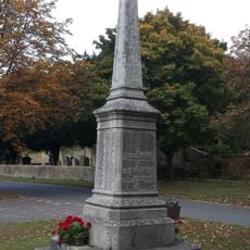
Fladbury and Throckmorton War Memorial
2.2 km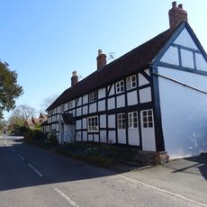
The Granary
3.2 km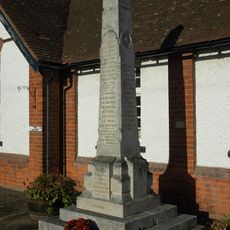
Wyre Piddle War Memorial
1.5 km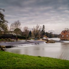
Cropthorne Mill
2.4 km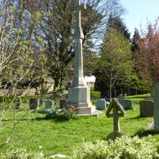
Wick War Memorial
2.7 km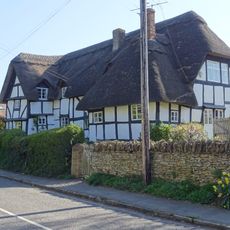
Perseus And Phoenix
3.3 km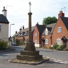
Wyre Piddle Cross
1.4 km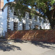
The Manor
3.2 km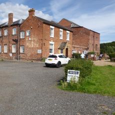
Wyre Mill
2.3 km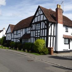
Avonbank Farmhouse
1.6 km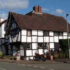
The Old Chestnut Tree
245 m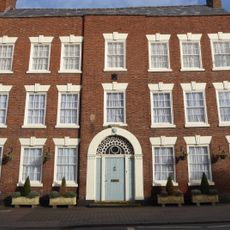
Barclays Bank
3.3 km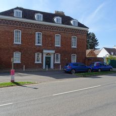
The Monastery
2.1 km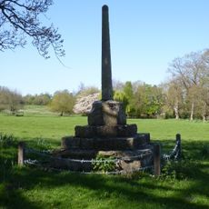
Churchyard cross 40m north west of St Mary's Church
2.7 km
The Gardens
3.5 km
The Old House
3.3 kmVous avez visité ce lieu ? Touchez les étoiles pour le noter et partager votre expérience ou vos photos avec la communauté ! Essayez maintenant ! Vous pouvez annuler à tout moment.
Trouvez des trésors cachés à chaque coin de rue !
Des petits cafés pittoresques aux points de vue planqués, fuyez la foule et dénichez les lieux qui vous ressemblent vraiment. Notre app vous facilite la vie : recherche vocale, filtres malins, itinéraires optimisés et bons plans partagés par des voyageurs du monde entier. Téléchargez vite pour vivre l'aventure en version mobile !

Une approche inédite de la découverte touristique❞
— Le Figaro
Tous les lieux qui valent la peine d'être explorés❞
— France Info
Une excursion sur mesure en quelques clics❞
— 20 Minutes