
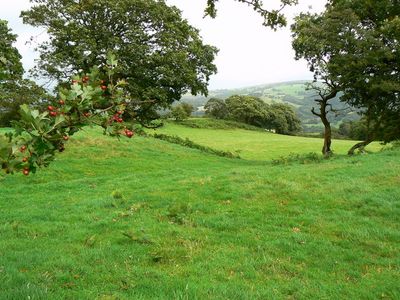
Caerau, Llantrisant, hillfort in Rhondda Cynon Taf
Emplacement : Rhondda Cynon Taf
Coordonnées GPS : 51.53970,-3.35010
Dernière mise à jour : 15 mars 2025 à 12:20
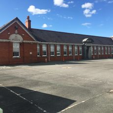
Bryn Celynnog Comprehensive School
2.4 km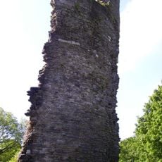
Llantrisant Castle
1.7 km
The Guildhall
1.7 km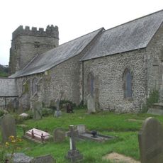
Church Of St Illtyd, St Gwynno And St Dyfodwg
1.8 km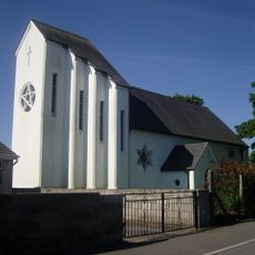
Church of St Michael and All Angels
1.8 km
Statue of Dr William Price
1.7 km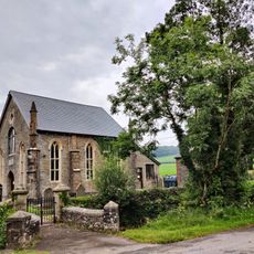
Castellau Congregational Chapel
2.9 km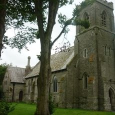
St David's Church
2.9 km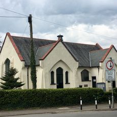
Creigiau Church Hall
2.4 km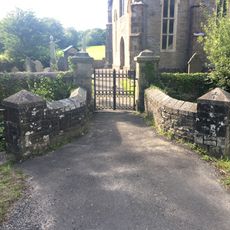
Gates, piers, boundary walls and bridge at Castellau Congregational Chapel
2.8 km
Penuel Presbyterian Church of Wales including forecourt walls and railings
1.6 km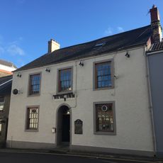
New Inn
1.8 km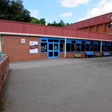
Llantrisant Library
1.7 km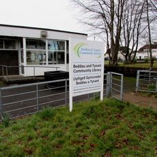
Beddau Library
1.9 km
Castell-y-mynach
2.7 km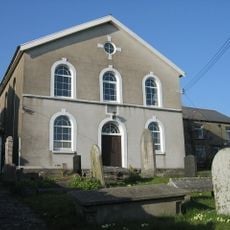
Babell Calvinistic Methodist Chapel
2.2 km
The Malthouse
2.1 km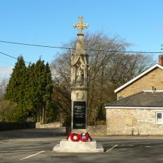
Miskin War Memorial
2.9 km
Wall with bee boles at Tondrugwaer
816 m
Y Felin Wynt Tower
2.2 km
2 Yr Allt And Adjoining Property To Left, Llantrisant
1.8 km
Former Stable adjoining 2 Yr Allt
1.8 km
Boiler stack of former lead mine NW of Cefn-parc Farm
1.9 km
Cefn Mabley Farmhouse
1.6 km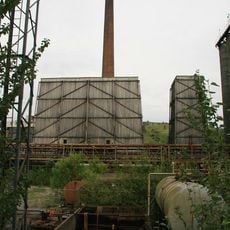
Cwm Coke Works Southern Cooling Tower
2.9 km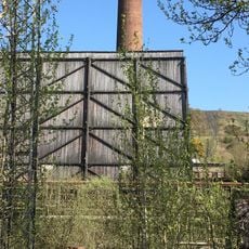
Cwm Coke Works Northern Cooling Tower
2.9 km
Parish Offices
1.8 km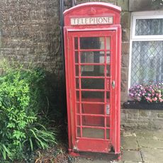
Telephone Call-box
2.9 kmAvis
Vous avez visité ce lieu ? Touchez les étoiles pour le noter et partager votre expérience ou vos photos avec la communauté ! Essayez maintenant ! Vous pouvez annuler à tout moment.
Trouvez des trésors cachés à chaque coin de rue !
Des petits cafés pittoresques aux points de vue planqués, fuyez la foule et dénichez les lieux qui vous ressemblent vraiment. Notre app vous facilite la vie : recherche vocale, filtres malins, itinéraires optimisés et bons plans partagés par des voyageurs du monde entier. Téléchargez vite pour vivre l'aventure en version mobile !

Une approche inédite de la découverte touristique❞
— Le Figaro
Tous les lieux qui valent la peine d'être explorés❞
— France Info
Une excursion sur mesure en quelques clics❞
— 20 Minutes