
Hertford Heath, village britannique
Emplacement : East Hertfordshire
Coordonnées GPS : 51.78330,-0.05000
Dernière mise à jour : 11 mars 2025 à 13:10
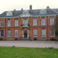
Balls Park
1.6 km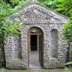
Scott's Grotto
2.8 km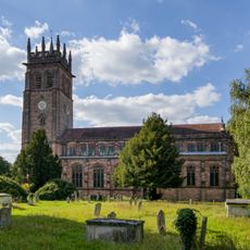
All Saints' Church
2.2 km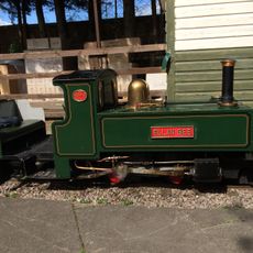
East Herts Miniature Railway
2.2 km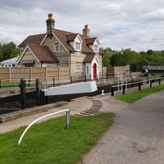
Hardmead Lock
3.2 km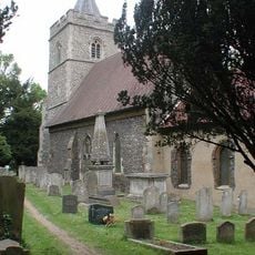
Parish Church of St John the Baptist
2.9 km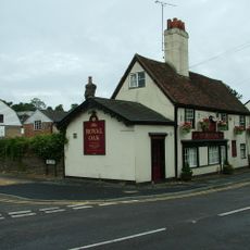
The Royal Oak Inn
3 km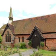
Church of the Holy Trinity
594 m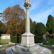
Pearson Memorial At All Saints Cemetery
2.1 km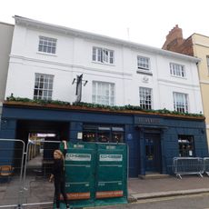
The Ram Inn
2.3 km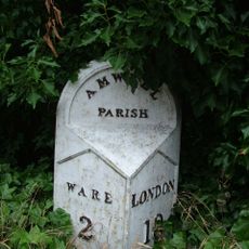
Milepost At West Corner With Gypsy Lane
2.5 km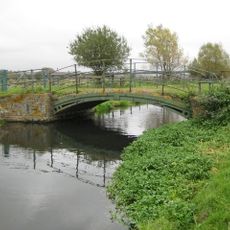
Bridge At Ngr Tl 3410 1355
2.4 km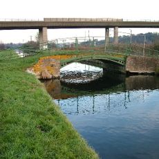
Bridge At Ngr Tl 3449 1373
2.5 km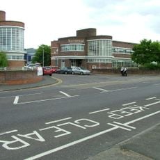
The Former Addis Factory, Western Range
2.1 km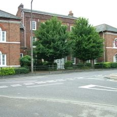
Amwell House
3 km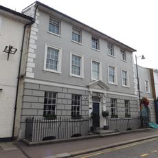
114 And 116, Fore Street
2.3 km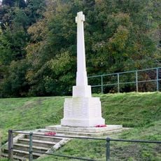
Great Amwell War Memorial
3 km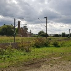
Broadmeads Pumping Station And Chimney
2.9 km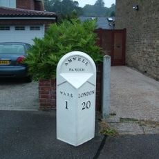
Milestone At Tl 3627 1350 (Outside Boundary Wall Of Number 132, Not Included)
2.8 km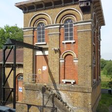
Amwell Marsh Pumping Station
3.2 km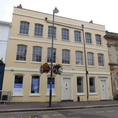
106,108 And 110, Fore Street
2.3 km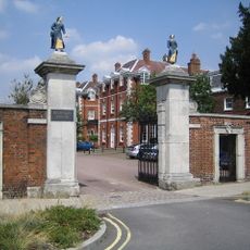
Entrance Gateway And Walling To Former Christs Hospital Site
2.2 km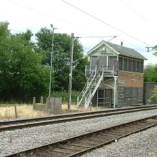
Hertford East Signal Box
2.3 km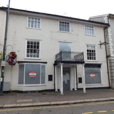
130, Fore Street
2.3 km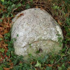
Milestone, Hertford Road, near Chadwell
2.7 km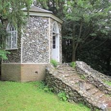
Gazebo within the garden of former Amwell House
2.8 km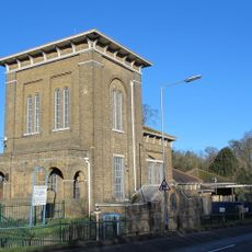
Rye Common Pumping Station
3.3 km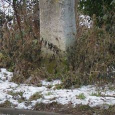
Milestone, Ware Road, at jct with Fairfax Road
2 kmVous avez visité ce lieu ? Touchez les étoiles pour le noter et partager votre expérience ou vos photos avec la communauté ! Essayez maintenant ! Vous pouvez annuler à tout moment.
Trouvez des trésors cachés à chaque coin de rue !
Des petits cafés pittoresques aux points de vue planqués, fuyez la foule et dénichez les lieux qui vous ressemblent vraiment. Notre app vous facilite la vie : recherche vocale, filtres malins, itinéraires optimisés et bons plans partagés par des voyageurs du monde entier. Téléchargez vite pour vivre l'aventure en version mobile !

Une approche inédite de la découverte touristique❞
— Le Figaro
Tous les lieux qui valent la peine d'être explorés❞
— France Info
Une excursion sur mesure en quelques clics❞
— 20 Minutes