
Ynyshir, village britannique
Emplacement : Rhondda Cynon Taf
Coordonnées GPS : 51.62280,-3.40982
Dernière mise à jour : 30 avril 2025 à 01:17
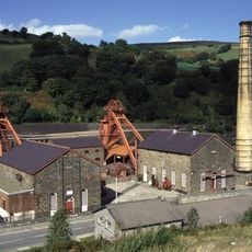
Rhondda Heritage Park
2 km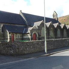
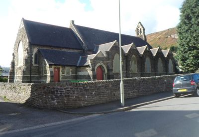
St Anne's Church, Ynyshir
406 m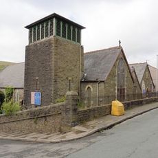
Church of St Paul
949 m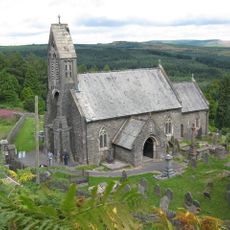
St Gwynno's Church
3.2 km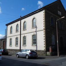
Ainon Welsh Baptist Chapel
318 m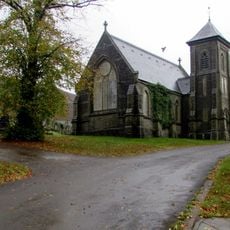
Trealaw Cemetery Chapel
1.3 km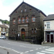
Calfaria Welsh Calvinistic Methodist Chapel
1 km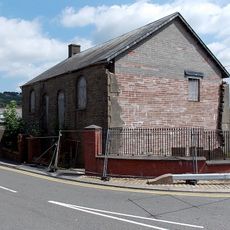
Cymmer Welsh Independent Chapel
1.5 km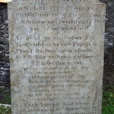
Grave of Guto Nyth Brân
3.2 km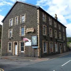
Wattstown Hotel
1.4 km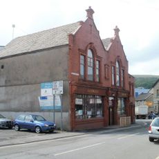
Former Porth Library
1.4 km
Porth Library
1.4 km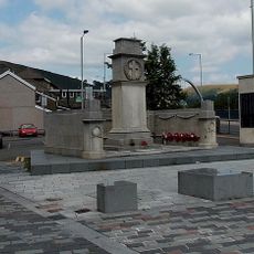
Porth War Memorial
1.2 km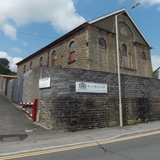
Cymmer English Congregational
1.5 km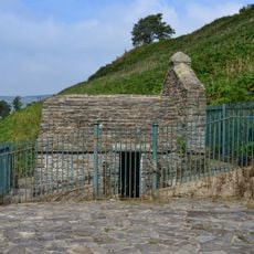
Wellhouse to Ffynnon Fair
3.2 km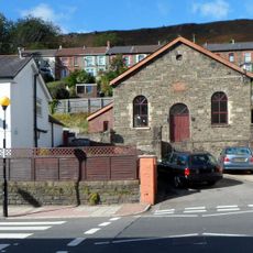
Bethel Welsh Baptist Chapel
277 m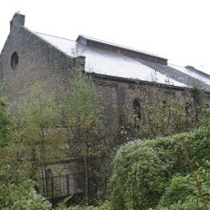
Former Engine House at Llwynypia Colliery Site
3.2 km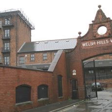
Gateway to Welsh Hills Works
1.5 km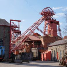
Former Lewis Merthyr Colliery Bertie Pithead, Headframe, Tram Circuit And Tippler
2 km
Seion Welsh Calvinistic Methodist Chapel
2.7 km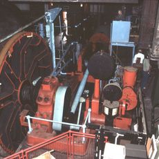
Former Lewis Merthyr Colliery Trefor Winding Engine House
2 km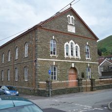
Saron Welsh Independent Chapel
236 m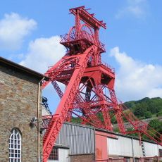
Former Lewis Merthyr Colliery Trefor Pithead And Headframe
2 km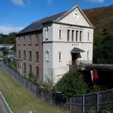
Soar Welsh Independent Chapel
2 km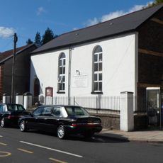
Bethany English Baptist Chapel
300 m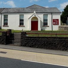
Horeb Welsh Calvinistic Methodist Chapel
1.7 km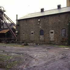
Former Lewis Merthyr Colliery Bertie Winding Engine House
2 km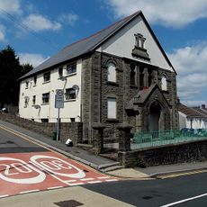
Caersalem Newydd Welsh Independent Chapel
1.7 kmAvis
Vous avez visité ce lieu ? Touchez les étoiles pour le noter et partager votre expérience ou vos photos avec la communauté ! Essayez maintenant ! Vous pouvez annuler à tout moment.
Trouvez des trésors cachés à chaque coin de rue !
Des petits cafés pittoresques aux points de vue planqués, fuyez la foule et dénichez les lieux qui vous ressemblent vraiment. Notre app vous facilite la vie : recherche vocale, filtres malins, itinéraires optimisés et bons plans partagés par des voyageurs du monde entier. Téléchargez vite pour vivre l'aventure en version mobile !

Une approche inédite de la découverte touristique❞
— Le Figaro
Tous les lieux qui valent la peine d'être explorés❞
— France Info
Une excursion sur mesure en quelques clics❞
— 20 Minutes