
Welton, localité britannique du comté anglais de Lincolnshire
Emplacement : West Lindsey
Coordonnées GPS : 53.30288,-0.47594
Dernière mise à jour : 7 mars 2025 à 16:22

St Lawrence's Church, Snarford
4.5 km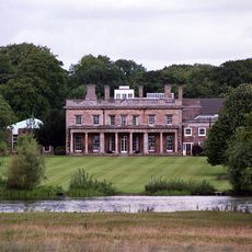
Riseholme Hall
5.2 km
RAF Scampton heritage centre
4.9 km
Church of St John the Baptist
6.8 km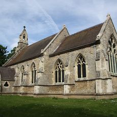
Parish Church of St Mary
5.1 km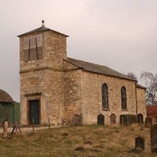
Church of St John Baptist
4.9 km
Church of St Helen, Saxby
6.7 km
Church of St Michael
3.8 km
Church of St Germain
2.7 km
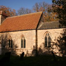
Church of St Mary
574 m
Church of St Chad
821 m
Church of St Cuthbert
7 km
Church of St Hilary
5.1 km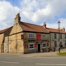
The Plough Inn
4.2 km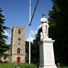
War Memorial in Churchyard of Church of St Mary
611 m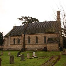
Church of St Edward the Confessor, Sudbrooke
3.7 km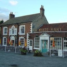
White Hart Inn
4.4 km
Church of All Saints
4.3 km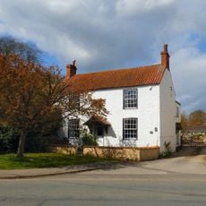
10, Church Street
4.3 km
Hackthorn Hall
3.9 km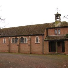
St Hugh
5.5 km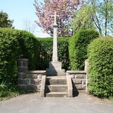
Hackthorn War Memorial
3.6 km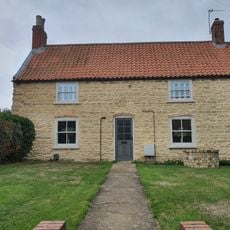
7, Ryland Road
647 m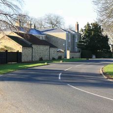
The Manor House
5.3 km
2 Gravestones At East End Of Church Of St Mary
553 m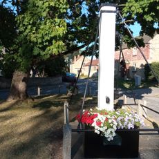
Pump On The Green
530 m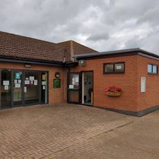
Welton Library
1.1 km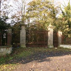
Gates And Piers To Nettleham Hall
4.3 kmAvis
Vous avez visité ce lieu ? Touchez les étoiles pour le noter et partager votre expérience ou vos photos avec la communauté ! Essayez maintenant ! Vous pouvez annuler à tout moment.
Trouvez des trésors cachés à chaque coin de rue !
Des petits cafés pittoresques aux points de vue planqués, fuyez la foule et dénichez les lieux qui vous ressemblent vraiment. Notre app vous facilite la vie : recherche vocale, filtres malins, itinéraires optimisés et bons plans partagés par des voyageurs du monde entier. Téléchargez vite pour vivre l'aventure en version mobile !

Une approche inédite de la découverte touristique❞
— Le Figaro
Tous les lieux qui valent la peine d'être explorés❞
— France Info
Une excursion sur mesure en quelques clics❞
— 20 Minutes