
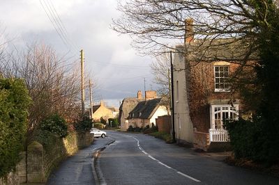
Thurlby, localité britannique du comté anglais de Lincolnshire
Emplacement : South Kesteven
Coordonnées GPS : 52.73840,-0.37858
Dernière mise à jour : 10 avril 2025 à 08:42
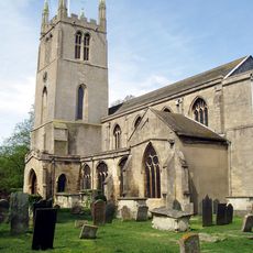
Bourne Abbey
3.1 km
Bourne Castle
3 km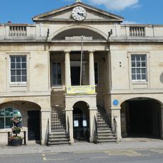
Bourne Town Hall
3.3 km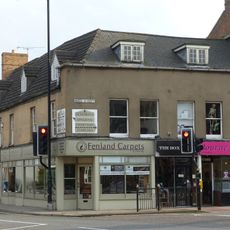
Premises on corner of South Street occupied by Harrison and Dunn, Bourne Cleaners and Overton
3.3 km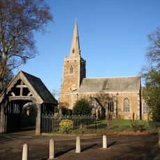
Church of St. John the Baptist
3.4 km
Church of St Firmin
939 m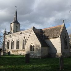
Church of St. Faith
3.2 km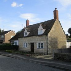
12, Church Street
3.5 km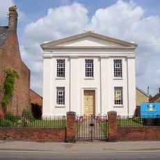
Methodist Church
3.3 km
Premises adjoining item 1/13 to the west occupied by Boots and Lyall and Company
3.3 km
Section of warehouses occupied by Wherry and Sons to the south of the carriage archway
3.1 km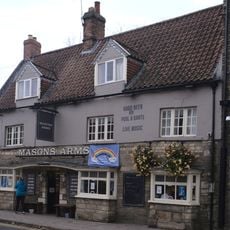
Mason's Arms Public House
3.2 km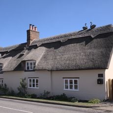
18, High Street
214 m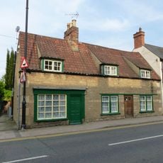
Stone House, adjoining to right
3.2 km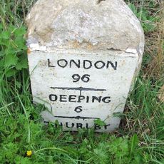
Milestone On Northern Parish Boundary
2 km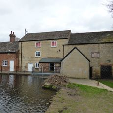
Baldock's Mill
3.1 km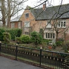
Bourne Eau House
3.1 km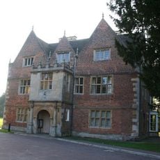
Red Hall
2.9 km
Cavalry House
3 km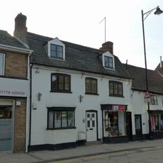
5, South Street
3.3 km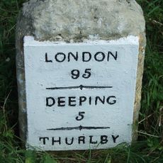
Milestone (Near Thurlby Grange)
799 m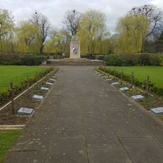
Bourne War Memorial
3.1 km
20, High Street
233 m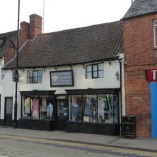
3, South Street
3.3 km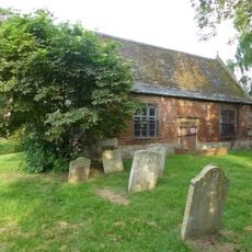
Old Grammar School (in churchyard)
3.1 km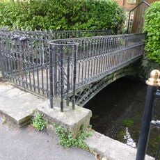
Footbridge to rear of, and part of the property of 30, Bourne Eau House
3.1 km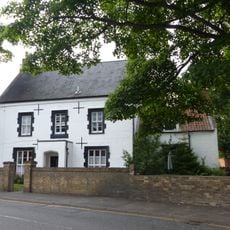
Brook Lodge
3.1 km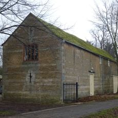
Shippon barn to north of Well Head Cottage
3.2 kmAvis
Vous avez visité ce lieu ? Touchez les étoiles pour le noter et partager votre expérience ou vos photos avec la communauté ! Essayez maintenant ! Vous pouvez annuler à tout moment.
Trouvez des trésors cachés à chaque coin de rue !
Des petits cafés pittoresques aux points de vue planqués, fuyez la foule et dénichez les lieux qui vous ressemblent vraiment. Notre app vous facilite la vie : recherche vocale, filtres malins, itinéraires optimisés et bons plans partagés par des voyageurs du monde entier. Téléchargez vite pour vivre l'aventure en version mobile !

Une approche inédite de la découverte touristique❞
— Le Figaro
Tous les lieux qui valent la peine d'être explorés❞
— France Info
Une excursion sur mesure en quelques clics❞
— 20 Minutes